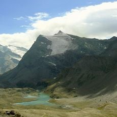
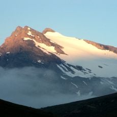
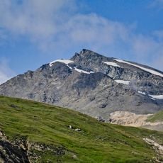
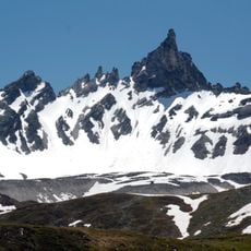
Punta Calabre, Mountain summit in Vanoise National Park, France
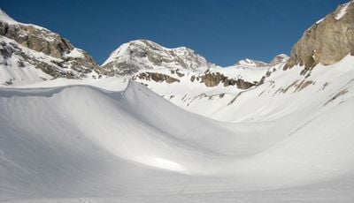
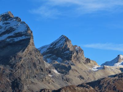
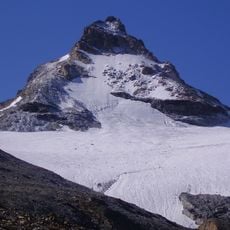
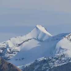
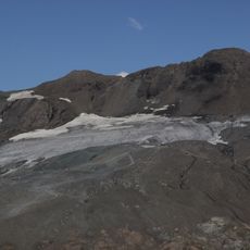
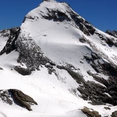
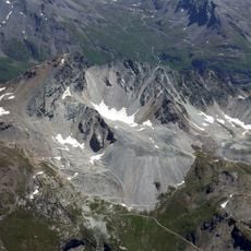
Punta Calabre is a mountain summit located on the border between France and Italy in the Ruitor Massif. The peak reaches 3464 meters and features multiple climbing routes with varying levels of difficulty.
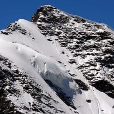
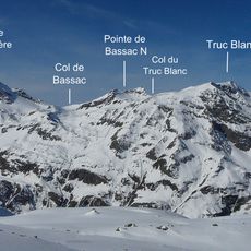
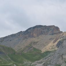
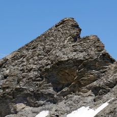
The first documented ascent took place in 1881 when Ettore Troya and his team reached the summit via the eastern ridge. Since this first climb, the mountain has been a recognized destination for alpine expeditions in this border area.
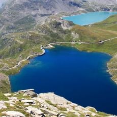
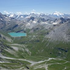
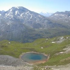
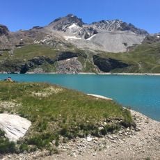
This mountain sits between two national parks and connects the natural spaces of France and Italy. At this border location, hikers and climbers from both countries gather to experience the elevation and views.
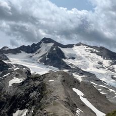
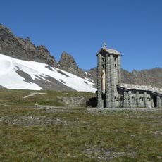
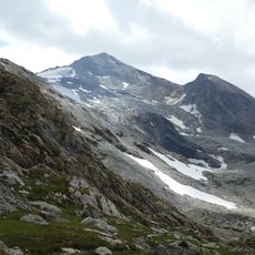
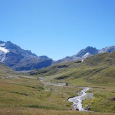
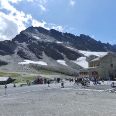
Climbers typically approach the summit from the Refuge de Prariond, which sits at 3078 meters elevation. The route requires experience with alpine climbing technique and proper gear for the rock faces.
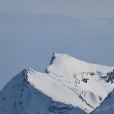
The southeastern face offers rock climbing routes ranging from grade IV to V in difficulty. These technical sections draw experienced alpinists seeking serious climbing challenges in this region.
Location: Val-d'Isère
Location: Rhêmes-Notre-Dame
Elevation above the sea: 3,350 m
Part of: France–Italy border, drainage divide between the Adriatic and Mediterranean seas
Address: Punta Calabre, Rhêmes-Notre-Dame AO, Italy
GPS coordinates: 45.47310,7.07347
Latest update: December 14, 2025 20:24
Route des Grandes Alpes
3.4 km
Aiguille de la Grande Sassière
6.8 km
Lago Agnel
5.1 km
Granta Parey
2.4 km
Grande Aiguille Rousse
5.3 km
Sources de l'Isère Glacier
3.8 km
Grand Pisaillas Glacier
5.6 km
Chapelle Notre-Dame de Toute-Prudence
7.1 km
Réserve naturelle nationale de la Grande Sassière
5.6 km
Tsanteleina
2.3 km
Punta Basei
3.2 km
Pointe de la Galise
2.5 km
Rhêmes-Golette Glacier
2.8 km
Becca della Traversière
3.5 km
Gran Vaudala
4.3 km
Réserve naturelle nationale de la Bailletaz
3.8 km
Aiguille Pers
5.2 km
Aiguille de la Grande Traversière
5.7 km
Signal of Iseran
5.2 km
Église Saint-Bernard-des-Alpes de Val-d'Isère
7.7 km
Picheru's summit
6.8 km
Lac de la Sassière
5.1 km
Bailletaz's summit
4.6 km
Tête du Solaise
7.8 km
Aiguille de la Petite Sassière
7.1 km
Ruisseau de la Sassière
3.4 km
The Dome peak
6.1 km
Pointe des Lessières
7.6 kmVisited this place? Tap the stars to rate it and share your experience / photos with the community! Try now! You can cancel it anytime.
Discover hidden gems everywhere you go!
From secret cafés to breathtaking viewpoints, skip the crowded tourist spots and find places that match your style. Our app makes it easy with voice search, smart filtering, route optimization, and insider tips from travelers worldwide. Download now for the complete mobile experience.
A unique approach to discovering new places❞
— Le Figaro
All the places worth exploring❞
— France Info
A tailor-made excursion in just a few clicks❞
— 20 Minutes