Rhêmes-Golette Glacier, Cross-border glacier in Tignes and Rhêmes-Notre-Dame, France and Italy
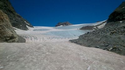
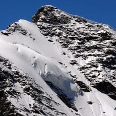
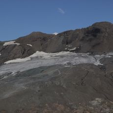
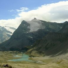
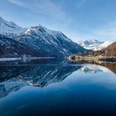
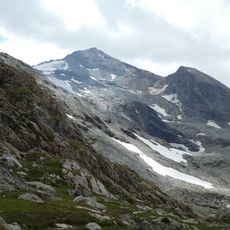
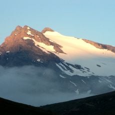
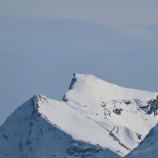
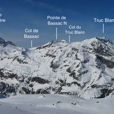
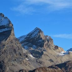
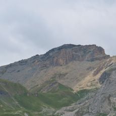
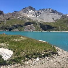
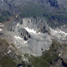
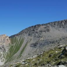
The Rhêmes-Golette Glacier is a body of ice straddling the border between France and Italy high in the Alpine range. The landscape around it features steep slopes, rocky ridges, and the pale ice surface stretching across the mountain pass.
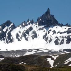
The glacier formed thousands of years ago and like most Alpine glaciers has been retreating steadily through modern times. The French-Italian border was drawn in an arc across the ice, establishing a boundary that has remained in place for nearly two centuries.
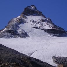
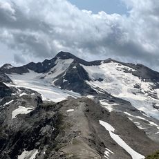
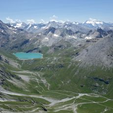
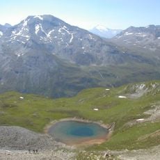
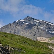
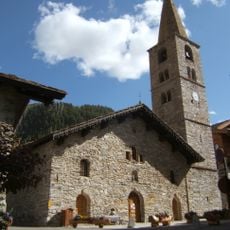
The area sits within a protected nature reserve where mountain ecosystems thrive and remain largely undisturbed by human activity. Walking here, you can sense the isolation and wildness of the high Alps.
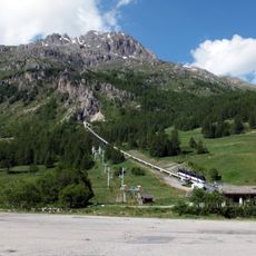
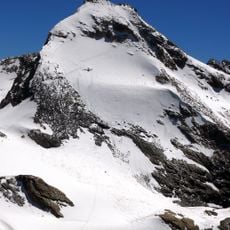
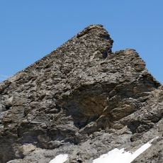
Access to the glacier is only suitable for experienced mountain hikers and requires a full day of walking over steep and sometimes snowy terrain. Sturdy boots, proper gear, and good navigation skills are essential, especially in late summer when snow melts and the path becomes less obvious.
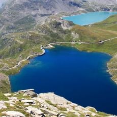
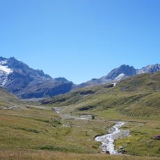
The meltwater from the glacier feeds multiple drainage systems that eventually reach different seas, making this a point where continental watersheds meet. Few visitors realize they stand at a geographic junction where water flows toward distant oceans in opposite directions.
The community of curious travelers
AroundUs brings together thousands of curated places, local tips, and hidden gems, enriched daily by 60,000 contributors worldwide.