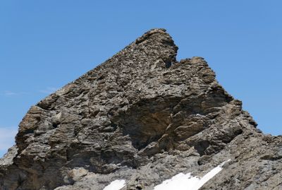
Aiguille de la Petite Sassière, Alpine summit in Sainte-Foy-Tarentaise, France.
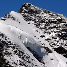
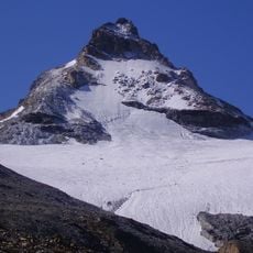
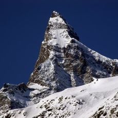
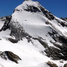
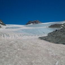
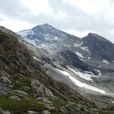
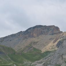
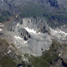
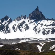
The Aiguille de la Petite Sassière is a peaked summit in the French Alps rising to approximately 3,672 meters (12,047 feet) and commanding views over the Ruitor glacier. The mountain features steep sides that contrast with expansive vistas stretching across neighboring valleys and alpine ridges.
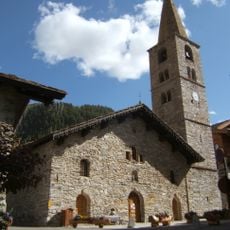
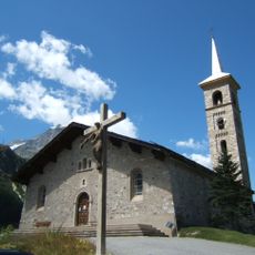
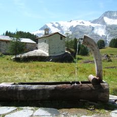
Shepherds have used the pastures at this altitude for centuries, a practice documented by the Saint Pierre chapel built during the 17th century. This long-standing use shows that the region has served as a pastoral bridge between lower settlements and the alpine heights.
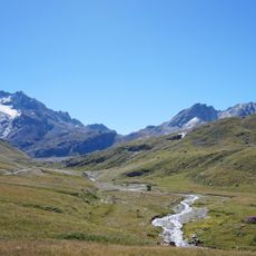
Grazing animals have inhabited the meadows here for generations, and their bells create a familiar sound across the mountain landscape. This pastoral use has shaped the character of the alpine region and remains visible in the daily rhythm of the place.
The ascent works best between April and November when conditions are favorable and snow does not block the trails. Digital and paper maps are available at the local tourist office to help you plan your route through the terrain.
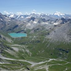
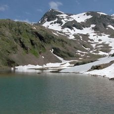
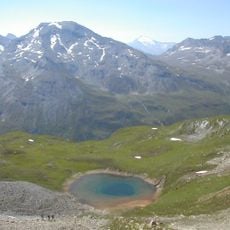
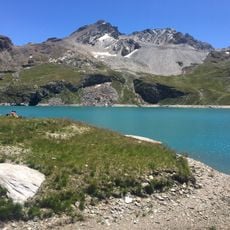
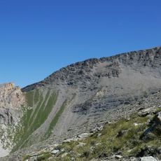
On the way to the summit, you cross a mountain stream twice using natural stone bridges before reaching Lac du Petit in a bare rocky setting. This interplay between flowing water and exposed rock terrain gives the hike a wild, untamed character.
The community of curious travelers
AroundUs brings together thousands of curated places, local tips, and hidden gems, enriched daily by 60,000 contributors worldwide.