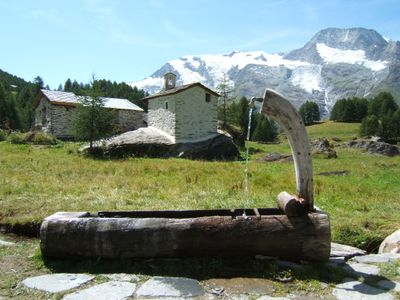
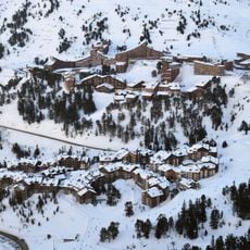
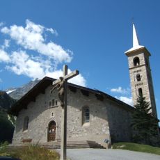
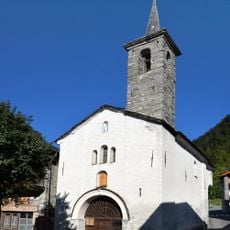
Le Monal, Mountain pasture and alpine cabin in Sainte-Foy-Tarentaise, France.
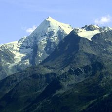
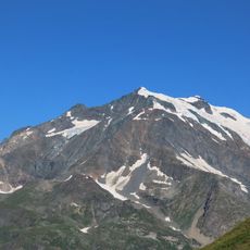
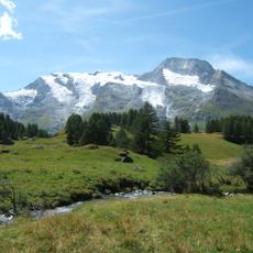
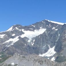
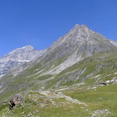
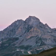
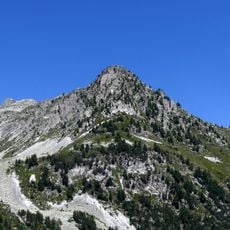
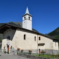
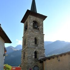
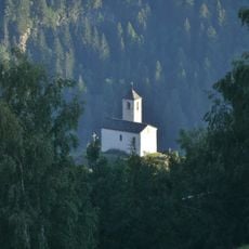
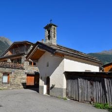
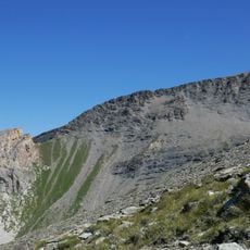
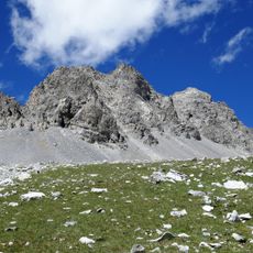
Le Monal is a stone alpine hamlet set at 1870 meters elevation, surrounded by forests of larch trees that change color with the seasons. The buildings are arranged in a tight, traditional pattern with views toward snowy peaks and glaciers nearby.
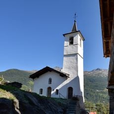
This settlement developed as an alpine community to support livestock herding and served for centuries as a seasonal pasture location. The architectural style reflects the practical building methods of earlier generations adapted to harsh mountain conditions.
Shepherds and cheesemakers use the pastures here during specific seasons to care for herds and produce traditional dairy goods. The craft of alpine herding remains deeply rooted in local identity and continues to this day.
Access is via a hiking trail with elevation gain that passes through wooded areas and reaches the hamlet from a nearby parking area. The best time to visit is outside of heavy snow months, when the paths are walkable and safe.
During autumn, the larch forests shift to warm orange and red tones, a rare color display among high-altitude trees in this region. This seasonal change draws hikers and photographers to witness the landscape transformation.
The community of curious travelers
AroundUs brings together thousands of curated places, local tips, and hidden gems, enriched daily by 60,000 contributors worldwide.