Enable Location

We need your location to show you interesting places around you

Discover nearby places

Find interesting locations and hidden gems around you

Precise directions

Get accurate directions and distances to places

Your location is never shared with other users. It's only used when you tap the location button.

Aiguille Rouge

Log in to your account

Start exploring — it's free

Trusted by 65,539 travelers worldwide

Continue with Google
Continue with Apple
or

We will send you a code to connect

By continuing, you accept our Terms and Conditions and our Privacy Policy

Check your inbox

We've sent a pincode in your inbox. Please enter the code below.

Aiguille Rouge
Discussion Reviews 2 Photos
4.7k Popularity

Aiguille Rouge, Alpine summit in Les Arcs, France

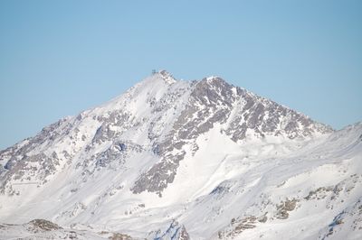
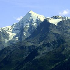
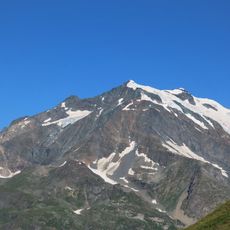
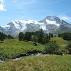
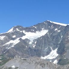
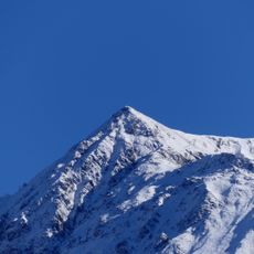
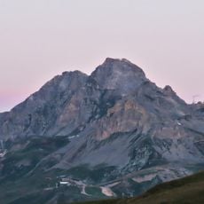
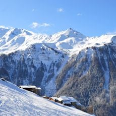
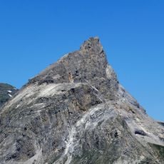
Aiguille Rouge is a mountain summit in the Alps, located in the Savoie department of France, reaching around 10,500 feet (about 3,200 meters) in elevation. It rises above the Les Arcs ski resort and offers open views toward the Mont Blanc massif and the valleys below.

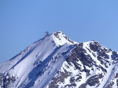
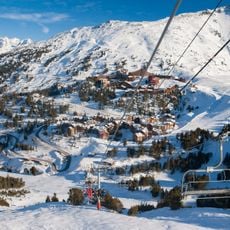
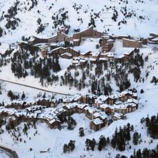
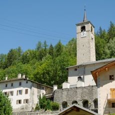
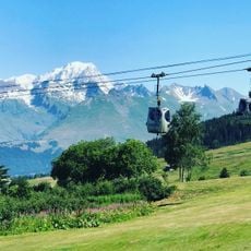
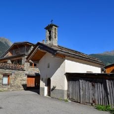
The area around Aiguille Rouge was opened up in the 20th century as winter sports expanded, with Les Arcs developed as a ski resort during the 1960s. The construction of cable cars made the summit accessible to a wide public for the first time.

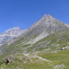
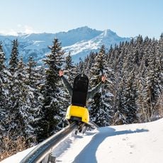
The name "Red Needle" refers to the reddish tint of the rock, which shows clearly in certain light conditions. The area around the summit is part of the Les Arcs ski resort and sees heavy use from skiers during winter.

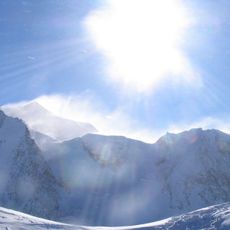
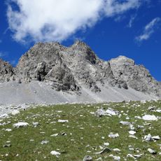
The summit is accessible in winter via the Les Arcs ski resort gondola, while summer visits call for proper walking gear with sturdy shoes. Conditions at this elevation can change fast, so checking the forecast before heading up is a good idea.

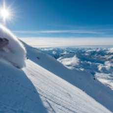
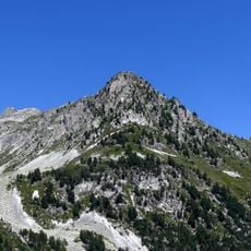
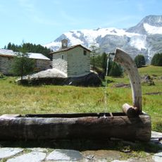
On a clear day, the view from Aiguille Rouge takes in both the Mont Blanc massif and the Gran Paradiso in Italy. This makes it one of the farthest-reaching panoramas reachable by cable car in the French Alps.

The community of curious travelers

AroundUs brings together thousands of curated places, local tips, and hidden gems, enriched daily by 60,000 contributors worldwide.

Start exploring
Location
Elevation above the sea
3,227 m
GPS coordinates
45.55190,6.84870
Latest update
March 3, 2026 14:03
Reviews
Share your experience

No review yet

Discussions
Start a discussion...

No discussion yet

« Aiguille Rouge - Alpine summit in Les Arcs, France » is provided by Around Us (aroundus.com). Images and texts are derived from Wikimedia project under a Creative Commons license. You are allowed to copy, distribute, and modify copies of this page, under the conditions set by the license, as long as this note is clearly visible.

Discover hidden gems everywhere you go!

From secret cafés to breathtaking viewpoints, skip the crowded tourist spots and find places that match your style. Our app makes it easy with voice search, smart filtering, route optimization, and insider tips from travelers worldwide. Download now for the complete mobile experience.

Around Us App Screenshot

A unique approach to discovering new places

Le Figaro

All the places worth exploring

France Info

A tailor-made excursion in just a few clicks

20 Minutes

Around Us
Travel Guide & Maps
Download

Send to your phone

QR Code
1

Open the camera app on your mobile.

2

Point at the QR code with your camera. A notification will appear.

3

Tap the notification to open the link.