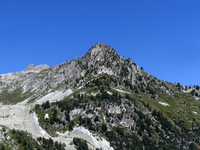
Pointe du Four, Mountain summit in Bourg-Saint-Maurice, France.
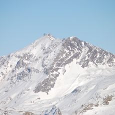
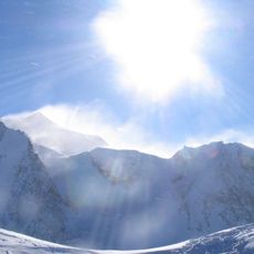
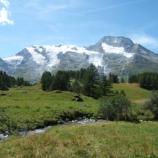
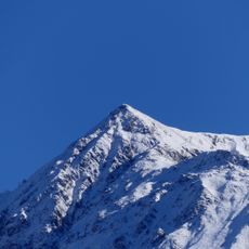
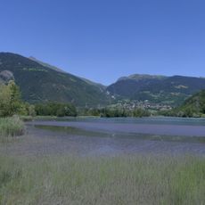
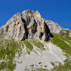
Pointe du Four is a mountain summit in the Beaufortain Massif that rises to 2430 meters and features several alpine lakes along its trails. The terrain displays typical high-altitude characteristics with rocky slopes and open meadows that change noticeably with the seasons.
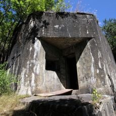
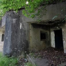
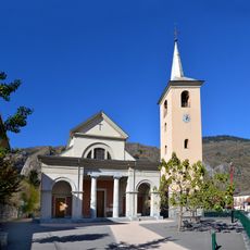
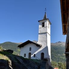
The area gained military importance through the Fort de la Platte, built at 1913 meters, which reflects French Alpine defensive architecture. This fortification emerged from strategic concerns and shows the region's historical role in Alpine conflicts.
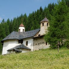
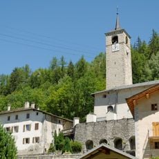
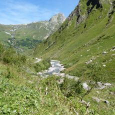
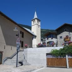
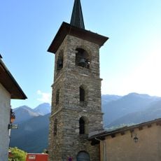
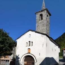
The mountain paths surrounding Pointe du Four link different villages and form a route that local mountain dwellers have relied on for generations in Savoie. These trails show how deeply the region's people are connected to their high-altitude landscape.
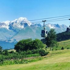
Visitors should carry crampons during winter months and check weather conditions before starting, as snow coverage varies significantly across different elevation zones. The best hiking window is from June to September, when conditions are most stable and trails are well-passable.
The summit trail passes by five alpine lakes - Noir, Esola, Riondet, Cornu, and Verdet - each offering different views of the surrounding peaks. These lakes vary in size and depth and provide hikers with natural markers to navigate this high-altitude area.
The community of curious travelers
AroundUs brings together thousands of curated places, local tips, and hidden gems, enriched daily by 60,000 contributors worldwide.