Enable Location

We need your location to show you interesting places around you

Discover nearby places

Find interesting locations and hidden gems around you

Precise directions

Get accurate directions and distances to places

Your location is never shared with other users. It's only used when you tap the location button.

Aiguille Rousse

Log in to your account

Start exploring — it's free

Trusted by 63,029 travelers worldwide

Continue with Google
Continue with Apple
or

We will send you a code to connect

By continuing, you accept our Terms and Conditions and our Privacy Policy

Check your inbox

We've sent a pincode in your inbox. Please enter the code below.

Aiguille Rousse
Discussion Reviews 1 Photos
3 Popularity

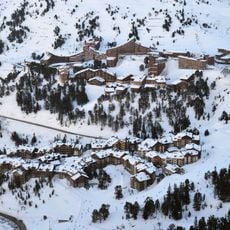
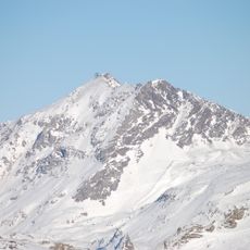
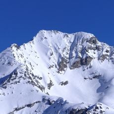
Aiguille Rousse, Mountain summit in Peisey-Nancroix, France.

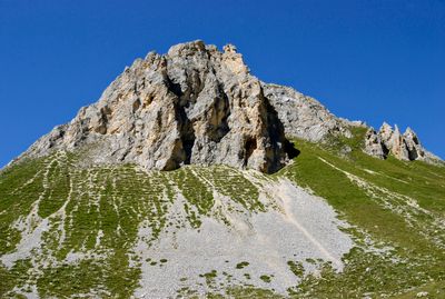
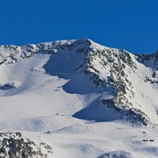
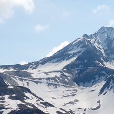
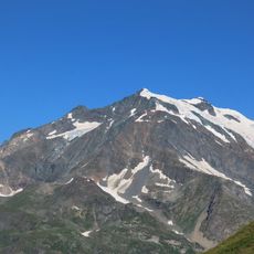
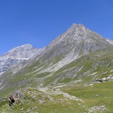
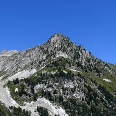
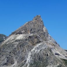
Aiguille Rousse is a mountain summit standing at 2482 meters, reached by a steep trail that follows a ridge path across varied rocky terrain. The route takes you through landscapes typical of high alpine elevations.

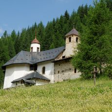
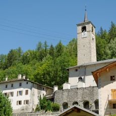
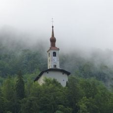
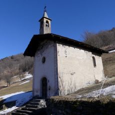
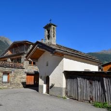
A path passes by the Notre-Dame-des-Vernettes chapel on the way to the summit, linking the route to a sanctuary built in 1702. The chapel was established after reports of healing water sources in the area.

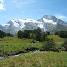
Shepherds use the pastures around the mountain to raise their herds and make Beaufort cheese following time-honored methods. These practices shape how people live and work in this alpine region.

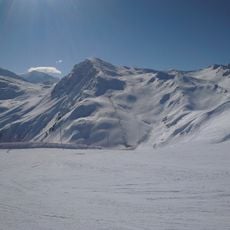
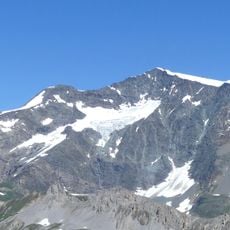
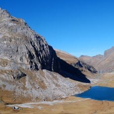
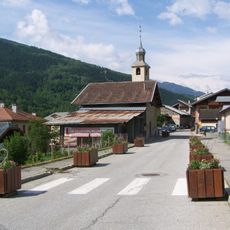
The complete hiking route starts from Plan Peisey and is suitable for hikers with good stamina and sure footing. The highest section of the trail requires caution, especially where the path crosses exposed ridge areas.

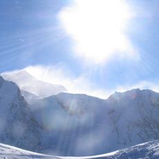
The final section of the route follows an exposed ridge where careful footing is essential and wind can make the crossing challenging. Many hikers underestimate this last stretch and find themselves suddenly on remarkably open terrain.

The community of curious travelers

AroundUs brings together thousands of curated places, local tips, and hidden gems, enriched daily by 60,000 contributors worldwide.

Start exploring
Location
Address
Aiguille Rousse, 73210 Peisey-Nancroix, France
GPS coordinates
45.54290,6.79660
Latest update
December 15, 2025 13:21
Reviews
Share your experience

No review yet

Discussions
Start a discussion...

No discussion yet

« Aiguille Rousse - Mountain summit in Peisey-Nancroix, France » is provided by Around Us (aroundus.com). Images and texts are derived from Wikimedia project under a Creative Commons license. You are allowed to copy, distribute, and modify copies of this page, under the conditions set by the license, as long as this note is clearly visible.

Discover hidden gems everywhere you go!

From secret cafés to breathtaking viewpoints, skip the crowded tourist spots and find places that match your style. Our app makes it easy with voice search, smart filtering, route optimization, and insider tips from travelers worldwide. Download now for the complete mobile experience.

Around Us App Screenshot

A unique approach to discovering new places

Le Figaro

All the places worth exploring

France Info

A tailor-made excursion in just a few clicks

20 Minutes

Around Us
Travel Guide & Maps
Download

Send to your phone

QR Code
1

Open the camera app on your mobile.

2

Point at the QR code with your camera. A notification will appear.

3

Tap the notification to open the link.