Enable Location

We need your location to show you interesting places around you

Discover nearby places

Find interesting locations and hidden gems around you

Precise directions

Get accurate directions and distances to places

Your location is never shared with other users. It's only used when you tap the location button.

Mont Pourri

Log in to your account

Start exploring — it's free

Trusted by 66,043 travelers worldwide

Continue with Google
Continue with Apple
or

We will send you a code to connect

By continuing, you accept our Terms and Conditions and our Privacy Policy

Check your inbox

We've sent a pincode in your inbox. Please enter the code below.

Mont Pourri
Discussion Reviews 4 Photos
8.4k Popularity

Mont Pourri, Summit in Vanoise Massif, France

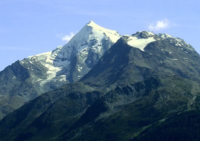
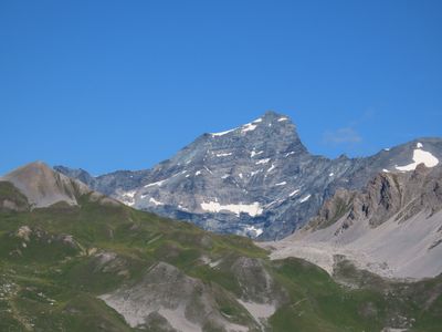
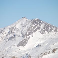
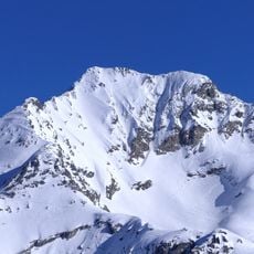
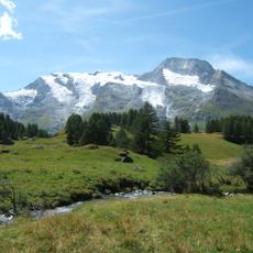
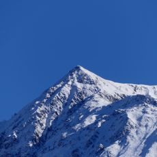
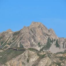
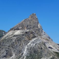
Mont Pourri is a summit in the Graian Alps, within the Vanoise massif in Savoie, reaching 3,779 meters (12,398 ft) in elevation. Its northeastern flank is largely covered by glaciers that descend to around 2,000 meters (6,560 ft), making it one of the more glaciated peaks in the area.

The first recorded ascent of Mont Pourri took place in 1861, opening the peak to the wave of 19th-century mountaineers who were systematically exploring the Alps. Several other climbers followed in the years after, establishing the routes that are still used today.

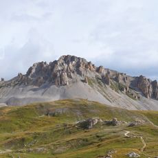
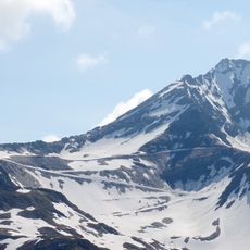
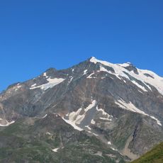
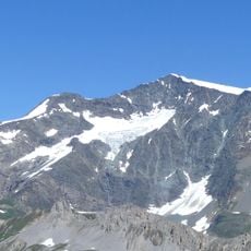
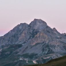
The name Mont Pourri means "rotten mountain" in French, a reference to the crumbling rocky faces visible on its flanks. Visitors looking up from the valleys below can clearly see the fractured, disintegrating rock that inspired this name centuries ago.

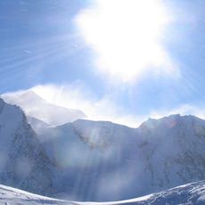
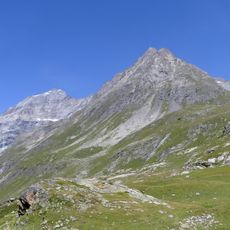
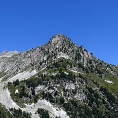
Reaching the summit calls for experience in alpine terrain, as the route involves steep, icy sections where crampons and an ice axe are necessary. The climb is physically demanding, so prior experience with similar peaks is strongly advisable before attempting it.

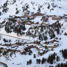
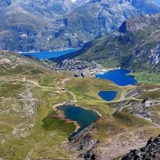
Two hanging glaciers near the village of La Gurraz sit at unusually low elevation for the Vanoise region, making them visible from the valley floor. Most visitors arriving from below are surprised to see permanent ice so close to the inhabited valley.

The community of curious travelers

AroundUs brings together thousands of curated places, local tips, and hidden gems, enriched daily by 60,000 contributors worldwide.

Start exploring
Location
Elevation above the sea
3,779 m
GPS coordinates
45.52812,6.86010
Latest update
March 3, 2026 10:11
Reviews
Share your experience

No review yet

Discussions
Start a discussion...

No discussion yet

« Mont Pourri - Summit in Vanoise Massif, France » is provided by Around Us (aroundus.com). Images and texts are derived from Wikimedia project under a Creative Commons license. You are allowed to copy, distribute, and modify copies of this page, under the conditions set by the license, as long as this note is clearly visible.

Discover hidden gems everywhere you go!

From secret cafés to breathtaking viewpoints, skip the crowded tourist spots and find places that match your style. Our app makes it easy with voice search, smart filtering, route optimization, and insider tips from travelers worldwide. Download now for the complete mobile experience.

Around Us App Screenshot

A unique approach to discovering new places

Le Figaro

All the places worth exploring

France Info

A tailor-made excursion in just a few clicks

20 Minutes

Around Us
Travel Guide & Maps
Download

Send to your phone

QR Code
1

Open the camera app on your mobile.

2

Point at the QR code with your camera. A notification will appear.

3

Tap the notification to open the link.