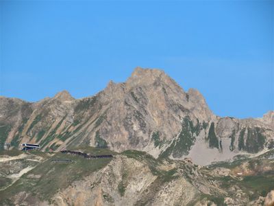
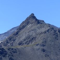
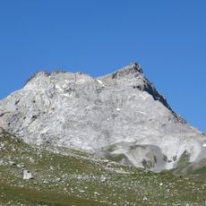
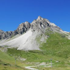
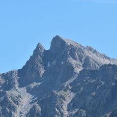
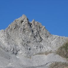
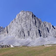
Grapillon des Merles, Mountain summit in Tignes, France.
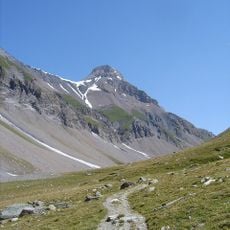
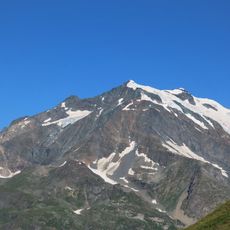
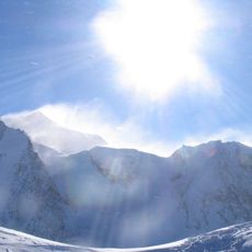
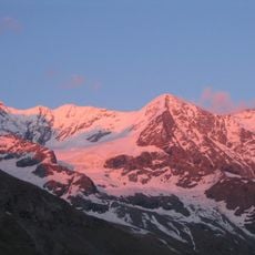
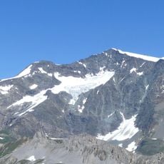
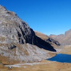
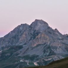
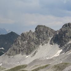
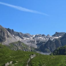
Grapillon des Merles is a mountain summit in Tignes rising to 2,784 meters within Vanoise National Park. The peak displays distinctive rock formations and is crossed by several marked hiking paths that traverse its slopes.
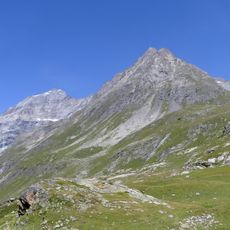
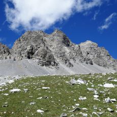
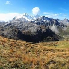
The mountain paths served shepherds for generations as they moved their flocks between valley pastures and high-altitude grazing lands. This pastoral use shaped the landscape and demonstrates how people have adapted to life in the alpine environment over time.
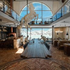
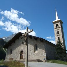
The Palet mountain shelter at 1,982 meters keeps alive the alpine tradition of welcoming hikers with food and a place to rest during their journeys through the Vanoise massif. This refuge serves as a meeting point where travelers from different backgrounds gather to share the experience of mountain exploration.
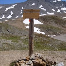
Marked trails to the summit begin in Tignes village and detailed maps are available from the local mountain guide office. The paths are well maintained and current information about conditions helps visitors plan their hikes effectively.
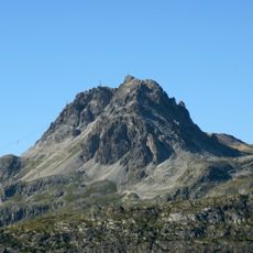
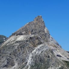
The peak rises 80 meters above the surrounding terrain and ranks as the fifth highest point within the Tignes-Champagny nature reserve. This moderate prominence makes it an accessible goal for hikers seeking an elevated vantage point without extreme difficulty.
The community of curious travelers
AroundUs brings together thousands of curated places, local tips, and hidden gems, enriched daily by 60,000 contributors worldwide.