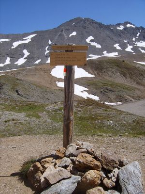
Col de la Leisse, Mountain pass at 2613 meters in Vanoise National Park, France
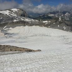
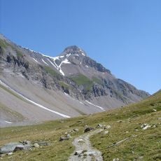
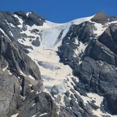
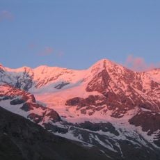
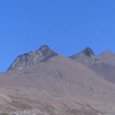
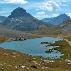
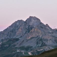
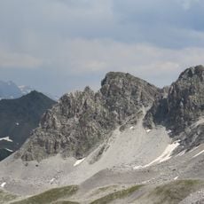
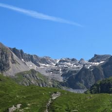
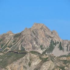
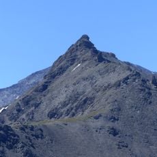
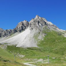
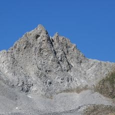
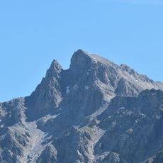
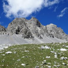
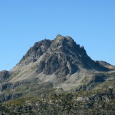
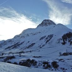
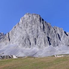
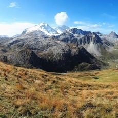
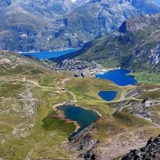
Col de la Leisse is a mountain pass in the French Alps located at 2613 meters (8573 feet) within Vanoise National Park. The route traverses high alpine terrain with exposed rock, sparse vegetation, and panoramic views of surrounding peaks and glacial valleys.
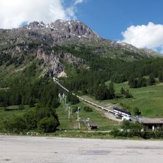
The pass has served as a connection between valleys for centuries, allowing people to cross between the Tarentaise and Maurienne valleys on foot. The route linked communities separated by the high mountain range and facilitated trade and communication.
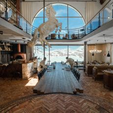
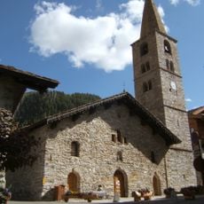
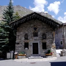
Local alpine communities maintain traditional mountain shelters near the pass, providing travelers with basic accommodation and regional food specialties.
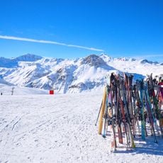
The hiking season is best from June to September when snow has melted and trails are accessible. Wear sturdy boots, bring weather-appropriate layers, and carry water, as the exposed terrain offers little shelter from wind or sudden weather changes.
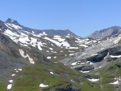
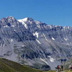
On clear days, visitors can see the Vanoise glaciers and peaks that stretch into neighboring valleys and even into Italy. The panorama shifts depending on which section of the ridge you stand on, revealing different alpine landscapes.
The community of curious travelers
AroundUs brings together thousands of curated places, local tips, and hidden gems, enriched daily by 60,000 contributors worldwide.