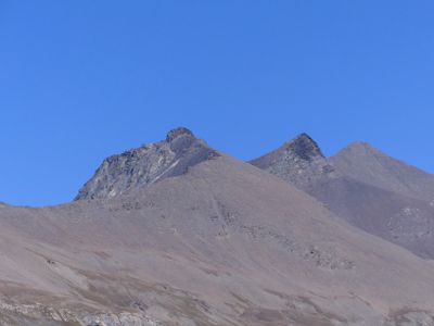
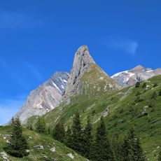
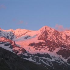
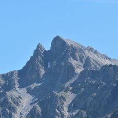
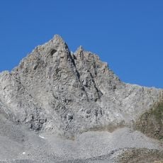
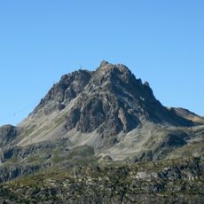
Pointe du Charbonnier, Alpine summit in Vanoise massif, Savoie, France.
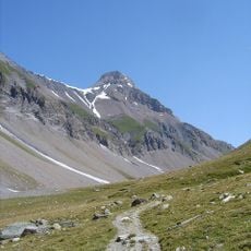
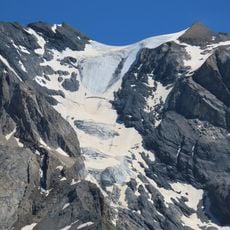
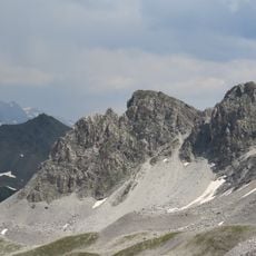
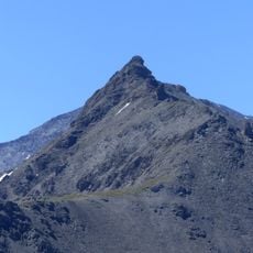
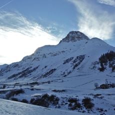
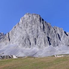
Pointe du Charbonnier is a summit in the Vanoise massif standing at 3,311 meters with a northern face shaped by glacial ice. The ascent crosses steep alpine terrain and requires technical equipment and mountaineering experience to navigate safely.
The peak was named after charcoal makers who worked in the surrounding valleys, connecting the mountain to the region's traditional livelihood. This naming reflects how the high Alps were linked to the daily work and economy of communities living below.
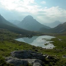
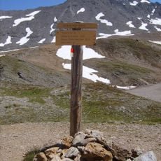
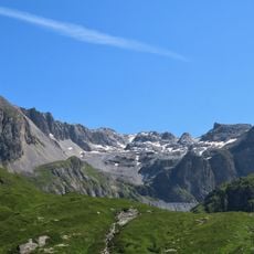
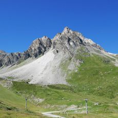
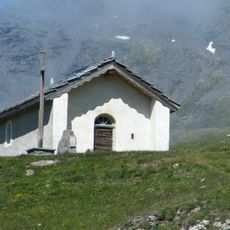
The Leisse mountain shelter serves as a traditional starting point for mountaineers attempting to reach the summit.
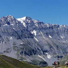
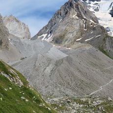
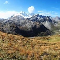
Summer months offer the best climbing conditions when snow coverage is minimal and routes are most accessible to climbers. Start early in the day and monitor weather changes closely, as conditions in the high Alps shift rapidly and unpredictably.
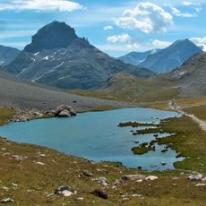
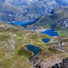
A glacial lake formed recently below the summit as melting ice created a growing pool of water where the glacier once extended. Climbers descending can see this lake take shape year by year, offering a direct view of how alpine landscapes are transforming today.
Location: Savoie
Elevation above the sea: 3,311 m
GPS coordinates: 45.38060,6.90111
Latest update: December 14, 2025 20:21
Vanoise National Park
7.5 km
Grande Casse
6.4 km
Funiculaire Perce-Neige
6.1 km
Glacier de la Grande Motte
4.5 km
Grande Motte
4.2 km
La Folie Douce Val d'Isère - Tignes
9.1 km
Aiguille de la Vanoise
9.6 km
Col de la Leisse
4.9 km
Glacier des Grands Couloirs
7 km
Réserve naturelle nationale de Tignes-Champagny
5.5 km
Grande Casse Glacier
8.3 km
Glacier du Vallonnet
5.4 km
Ruisseau de la Vanoise
5.3 km
Aiguille des Aimes
9.5 km
Église Saint-Bernard-des-Alpes de Val-d'Isère
9.8 km
Dôme de Pramecou
6.3 km
Tête du Solaise
9.2 km
Pointe du Grand Pré
4.7 km
Rochers de la Grande Balme
7.1 km
Chapelle Saint-Jean-Baptiste de Bessans
9.6 km
Chapelle Saint-Antoine de La Fesse d'en Haut
8.4 km
Pointe de Pramecou
6.9 km
Signal du Palet
8.4 km
Bellevarde's rock
8.2 km
Rocher du Charvet
6.6 km
Aiguille Noire
9.2 km
Pointe de Fresse
7.8 km
Pointe du Chardonnet
9.5 kmVisited this place? Tap the stars to rate it and share your experience / photos with the community! Try now! You can cancel it anytime.
Discover hidden gems everywhere you go!
From secret cafés to breathtaking viewpoints, skip the crowded tourist spots and find places that match your style. Our app makes it easy with voice search, smart filtering, route optimization, and insider tips from travelers worldwide. Download now for the complete mobile experience.
A unique approach to discovering new places❞
— Le Figaro
All the places worth exploring❞
— France Info
A tailor-made excursion in just a few clicks❞
— 20 Minutes