Dôme de Pramecou, Alpine summit in Vanoise Massif, France.
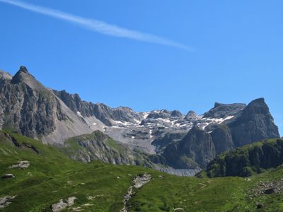
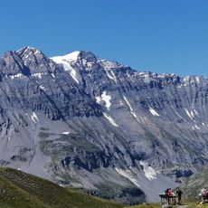
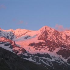
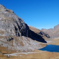
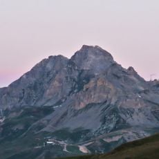
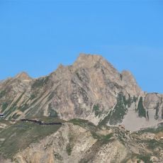
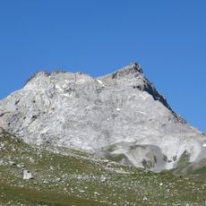
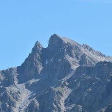
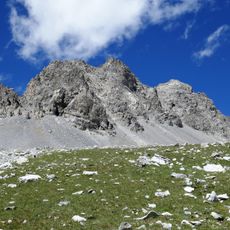
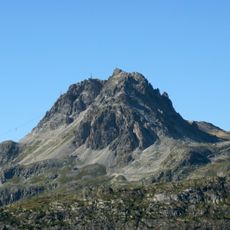
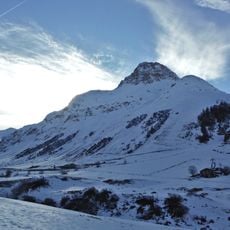
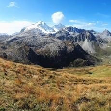
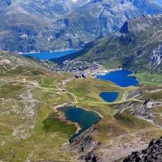
Dôme de Pramecou is an Alpine summit reaching 3081 meters in the Vanoise Massif, positioned between two municipalities in the French Alps. The peak commands views across glaciated valleys and rocky ridges that define this mountainous region.
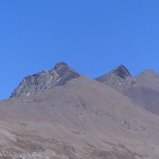
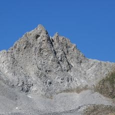
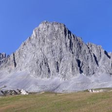
The summit formed through Alpine mountain-building processes, with marble limestone layers from the Upper Jurassic visible in its geology. Tectonic activity shaped the Vanoise region into the dramatic peaks and valleys seen today.
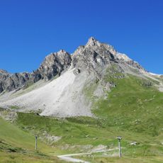
The summit marks the natural boundary between the municipalities of Champagny-en-Vanoise and Tignes, representing a significant geographical marker in the French Alps.
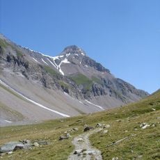
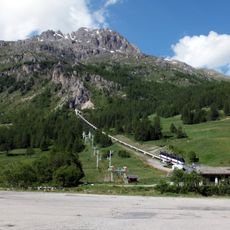
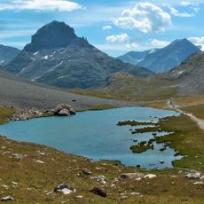
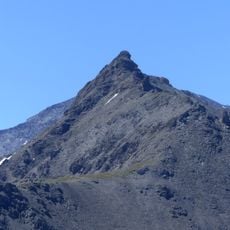
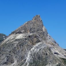
The hike typically begins from Tignes Val Claret at around 2120 meters, requiring several hours of steep climbing through rocky terrain. Sturdy boots and experience with Alpine walking are needed, as sections involve exposure and uneven ground.
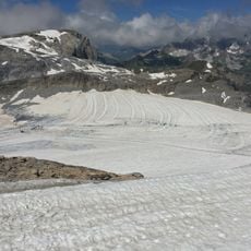
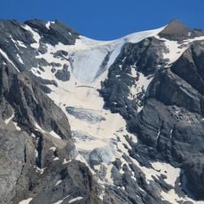
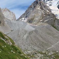
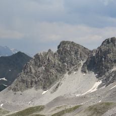
The summit bears traces of a former glacier that has retreated over centuries, leaving behind moraines and ice-carved rock features scattered across the mountainside. Visitors can observe these glacial remnants in the boulder fields and stone evidence marking the landscape.
The community of curious travelers
AroundUs brings together thousands of curated places, local tips, and hidden gems, enriched daily by 60,000 contributors worldwide.