Réserve naturelle nationale de Tignes-Champagny, National nature reserve in Champagny-en-Vanoise and Tignes, France.
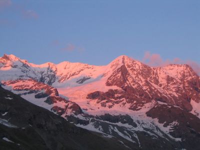
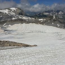
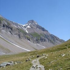
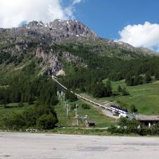
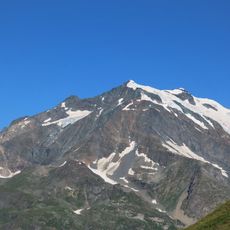
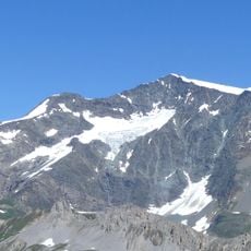
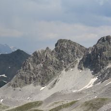
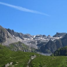
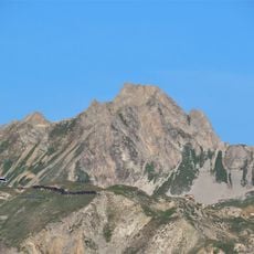
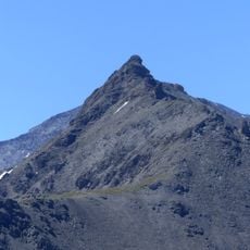
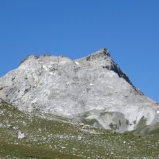
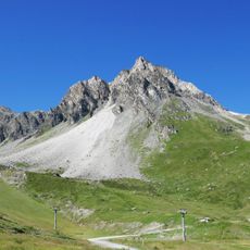
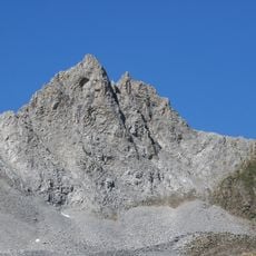
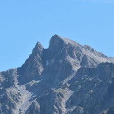
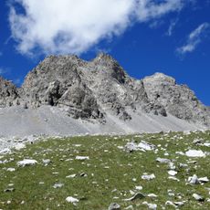
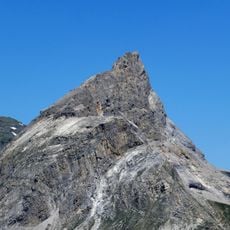
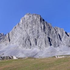
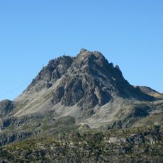
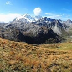
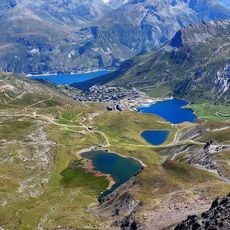
The Réserve naturelle nationale de Tignes-Champagny spans between 2000 and 3650 meters in elevation across steep slopes, glacier areas, and multiple valleys with varied plant life. The landscape is shaped by Grande Motte and Dôme de la Sache, where alpine meadows transition into rocky summits.
This protected area was established in 1963 as one of France's earliest nature conservation measures, created at the same time as Vanoise National Park. The creation responded to growing concerns about preserving Alpine ecosystems from intensive use.
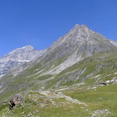
This territory serves as a refuge for Alpine ibex and other mountain wildlife that move through natural corridors across the slopes. Visitors walking the valleys can observe signs of this wild presence throughout the landscape.
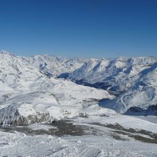
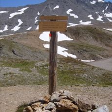
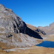
The best time to explore is from June through September, when higher elevations are relatively snow-free and trails are accessible. Winter offers opportunities for ski touring and snow exploration on designated routes.
The area hosts rare high-altitude plants such as bicolored and maritime sedge, specialized for extreme elevation conditions. These species are often found only in small patches, showing how life adapts in the harshest environments.
The community of curious travelers
AroundUs brings together thousands of curated places, local tips, and hidden gems, enriched daily by 60,000 contributors worldwide.