Bourg-Saint-Maurice, Administrative commune in Tarentaise Valley, France.
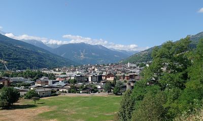
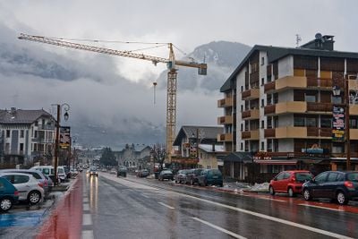
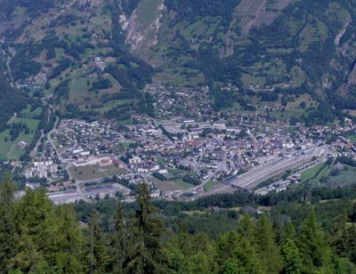
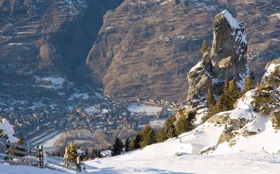
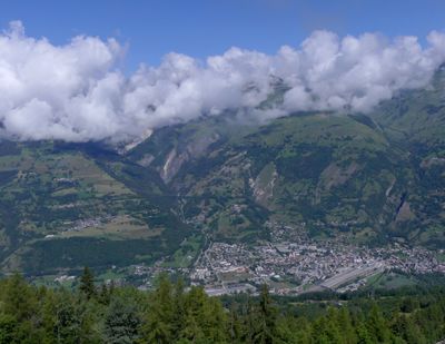
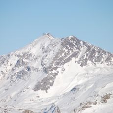
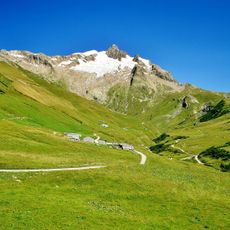
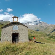
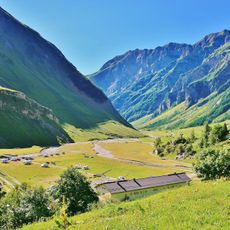
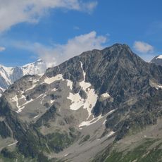
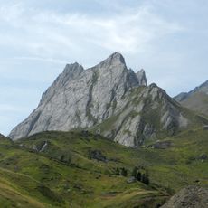
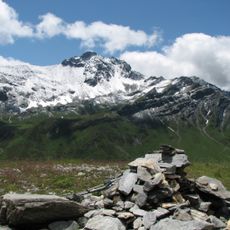
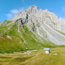
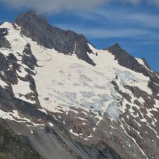
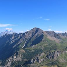
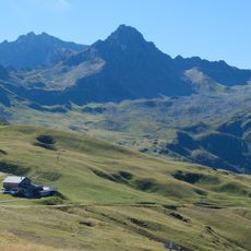
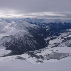
Bourg-Saint-Maurice is a commune in the Tarentaise Valley in the Savoie department of France, situated at about 744 meters elevation. The town marks the final major settlement along the valley before the landscape rises into the higher Alps.
Originally known as Bergintrum, the settlement held importance as a crossing point on the Gallic side of the Alpes Graiae, lying between the ancient centers of Mediolanum and Vienna. The commune underwent significant name changes during the French Revolution era that reflected the shifting political landscape.
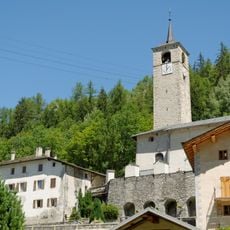
The commune has two places of worship that shape local religious life: a Catholic church on Grande Rue and a Protestant chapel on Avenue Maréchal Leclerc. These buildings reflect the diversity of faith communities that have settled in this valley.
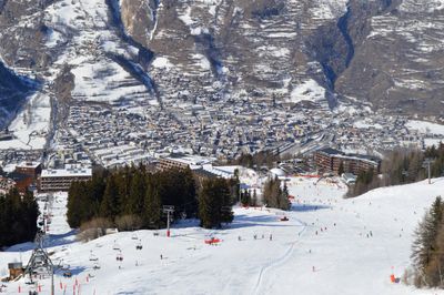
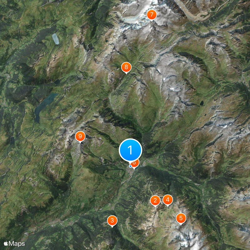
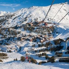
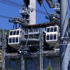
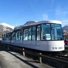
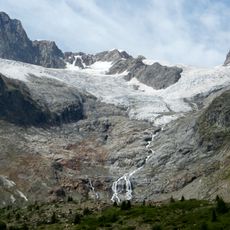
The town is most easily reached by traveling up from the valley and provides lodging and supplies for visitors heading to nearby ski areas. A rack railway connects the town center directly to the higher ski area at Arc 1600.
Between 1794 and 1815, the commune was renamed Nargue-Sarde to reflect the radical political changes of the Revolution. This temporary name change shows how deeply the transformations of that era affected local communities across France.
Location: Savoie
Location: arrondissement of Albertville
Elevation above the sea: 1,974 m
Operator: SNCF Réseau
Shares border with: Courmayeur, La Thuile, Beaufort, Les Chapelles, Landry, Peisey-Nancroix, Séez, Villaroger, Les Contamines-Montjoie, La Plagne Tarentaise
Address: 73700 Bourg-Saint-Maurice, France
Phone: +33479072333
Email: mairie@bourgsaintmaurice.fr
Website: https://bourgsaintmaurice.fr
GPS coordinates: 45.61667,6.76861
Latest update: December 14, 2025 17:51
Photo license: CC BY-SA 4.0
Les Arcs
5.9 km
Vanoise Express
7.8 km
Arc 1950
6.7 km
Aiguille Rouge
9.5 km
Arc-en-Ciel funicular
526 m
Aiguille des Glaciers
18.2 km
Vallée des Glaciers
11.5 km
Roignais
6.9 kmBlockhaus de la Platte
3.1 km
Chapelle Notre-Dame-des-Neiges de la Ville-des-Glaciers
12.3 km
Ouvrage Chatelard
1.7 km
Tête Sud des Fours
13.1 km
Église de la Trinité de Peisey-Nancroix
7.7 km
Vallée des Chapieux
7.3 km
Aiguille de Roselette
18.2 km
Tête Nord des Fours
13.6 km
Mont Tondu
16.4 km
Pyramides Calcaires
16.6 km
Lex Blanche Glacier
18.6 km
Ouvrage Cave-à-Canon
1.4 km
Aiguille du Grand Fond
9.4 km
Aiguilles de la Penaz
15.3 kmFerme de Villarivon
5.3 km
Glacier des Glaciers
16.7 km
Pointe de la Terrasse
6.9 km
Torrent des Glaciers
653 m
Tête de la Cicle
16.7 km
Ruisseau du Dorinet
18.4 kmVisited this place? Tap the stars to rate it and share your experience / photos with the community! Try now! You can cancel it anytime.
Discover hidden gems everywhere you go!
From secret cafés to breathtaking viewpoints, skip the crowded tourist spots and find places that match your style. Our app makes it easy with voice search, smart filtering, route optimization, and insider tips from travelers worldwide. Download now for the complete mobile experience.
A unique approach to discovering new places❞
— Le Figaro
All the places worth exploring❞
— France Info
A tailor-made excursion in just a few clicks❞
— 20 Minutes