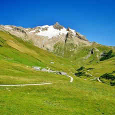
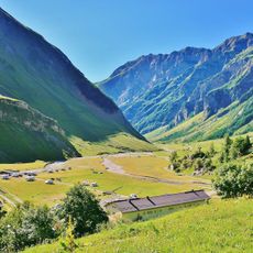
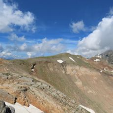
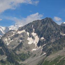
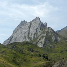
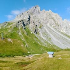
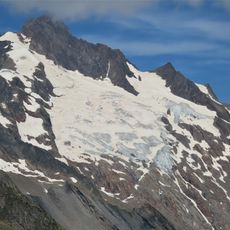
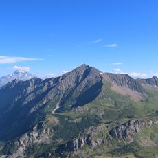
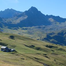
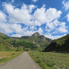
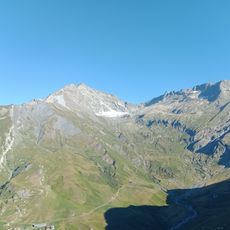
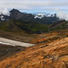
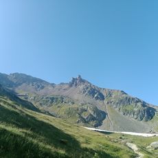
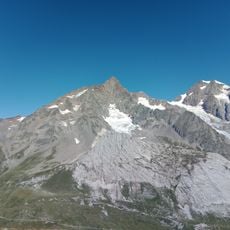
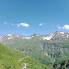
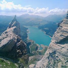
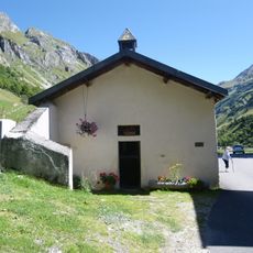
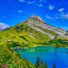
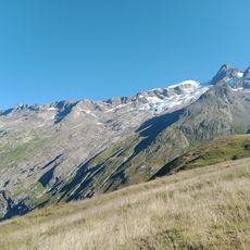
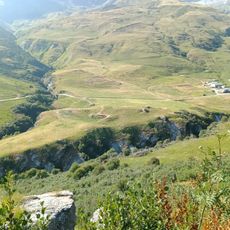
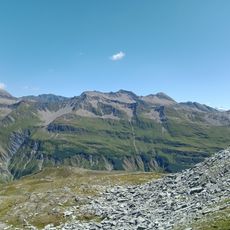
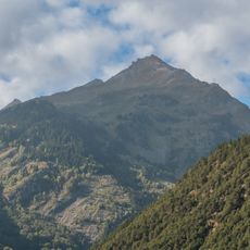
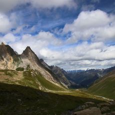
Vallée des Glaciers, U-shaped valley in Bourg Saint Maurice, France.
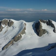
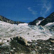
The Vallée des Glaciers is a glacial valley in Savoie, south of the Mont-Blanc massif, followed by the torrent des Glaciers upstream from the hamlet of Les Chapieux. It is flanked by peaks near or above 3,000 metres, including the Tête Nord des Fours, Mont Tondu, the Aiguille des Glaciers, the Montagne de la Seigne and the Grandes Aiguilles. Its upper section, below the Lanchettes and Glaciers glaciers, is called the Val des Glaciers.
The valley was reshaped during the last ice age when massive glaciers transformed the original river-carved V-shaped profile into its current U-shape. These glacial movements left behind deposits and moraines that remain visible today.
The valley carries the name of the Glacier stream that drains it, and its upper reach is called val des Glaciers, below the Lanchettes and Glaciers glaciers. It forms part of the route between the Tarentaise and the Italian val Vény, reached over the col de la Seigne.
The valley is reached from Bourg-Saint-Maurice through the Vallée des Chapieux, or from the Beaufortain over the Cormet de Roselend; the road continues upstream to the foot of the Lanchettes and Glaciers glaciers. The GR5 long-distance path crosses the valley and climbs to the Col de la Seigne, the pass into the Italian Val Vény. The valley floor lies above the hamlet of Les Chapieux, so the last stretch is on foot.
Smaller tributary glacier valleys hang above the main valley floor and create what are called hanging valleys, with waterfalls dropping into the main channel below. These waterfall cascades formed after glaciers retreated and show how main and side glaciers eroded at different rates.
The community of curious travelers
AroundUs brings together thousands of curated places, local tips, and hidden gems, enriched daily by 93,276 contributors worldwide.