Tête de la Cicle, Mountain summit in Hauteluce, France
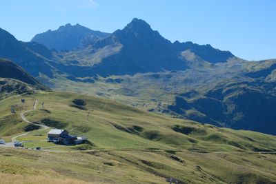
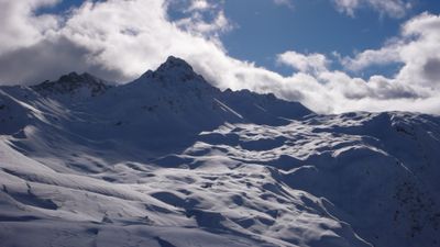
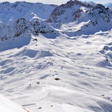
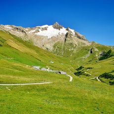
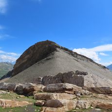
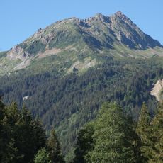
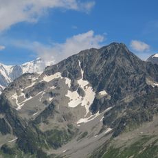
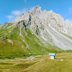
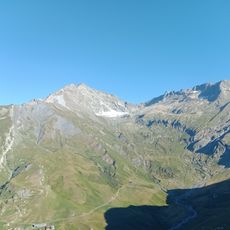
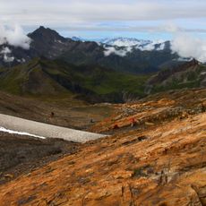
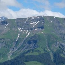
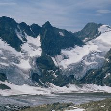
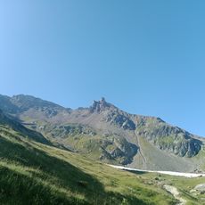
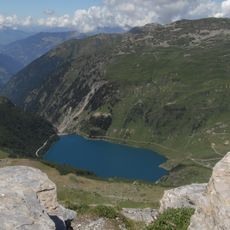
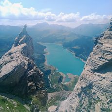
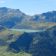
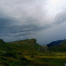
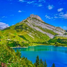
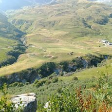
Tête de la Cicle is a mountain peak in the Beaufortain range standing at 2.552 meters, offering views toward Mont Blanc and neighboring summits across the Savoie landscape. The terrain features alpine meadows transitioning to rocky sections that frame access to several small mountain lakes nestled below.
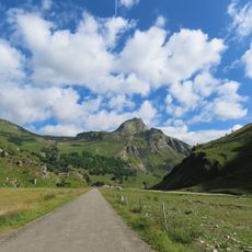
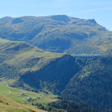
The pathways to the summit developed over time through regular use by shepherds moving herds to summer pastures, a practice that shaped the landscape for centuries. This pastoral tradition established the routes that hikers still follow and made the terrain accessible through consistent foot traffic.
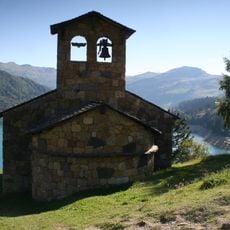
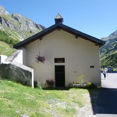
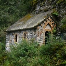
The place has long been shaped by traditional alpine farming practices that still leave traces on the landscape. You will see old stone buildings scattered across the slopes that reveal how mountain communities lived and worked.
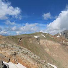
The hike from Val Joly takes around five hours with steady elevation gain of approximately 850 meters and requires solid footing skills. Stone cairns mark the route throughout, though the terrain becomes rocky near the summit and needs careful navigation.
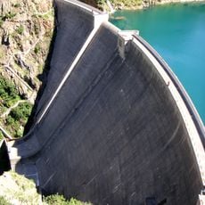
The summit overlooks five small alpine lakes tucked into the Grande Perrière valley, a detail many hikers overlook when focused on reaching the top. These hidden water bodies create a distinctive landscape feature specific to this area that becomes visible once you pause to look downward into the surrounding terrain.
The community of curious travelers
AroundUs brings together thousands of curated places, local tips, and hidden gems, enriched daily by 60,000 contributors worldwide.