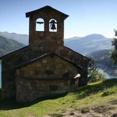
Rochers des Enclaves, Mountain summit in Beaufortain massif, France.
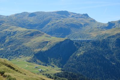
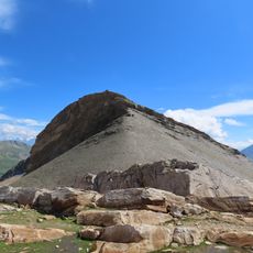
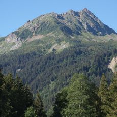
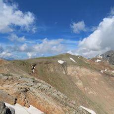
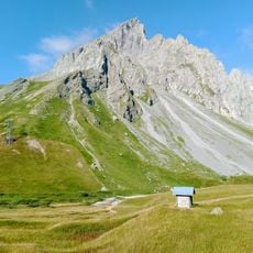
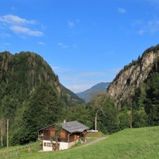
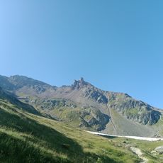
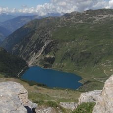
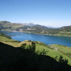
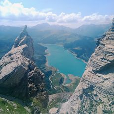
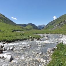
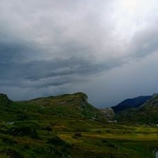
Rochers des Enclaves is a summit in the Beaufortain massif at about 2467 meters elevation, featuring steep slopes and views toward several Alpine mountain ranges. The peak and its flanks offer a range of approaches depending on the season and physical condition.
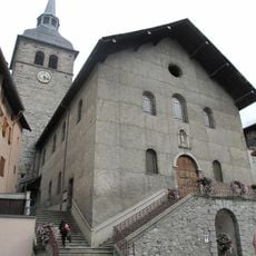
The peak served for centuries as a reference point for shepherds moving livestock between valleys across the region. This practice shaped how local people understood and navigated the Alpine terrain.
This summit marks a natural boundary between the communities below and carries the memory of alpine traditions in the region. Visitors walking the trails around it experience the same landscape that has shaped local life for generations.
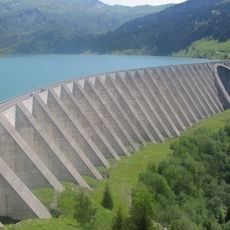
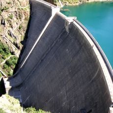
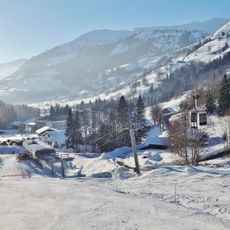
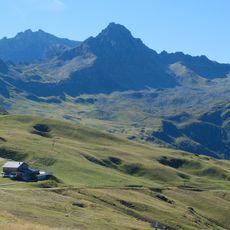
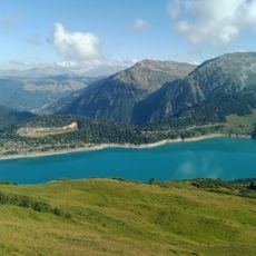
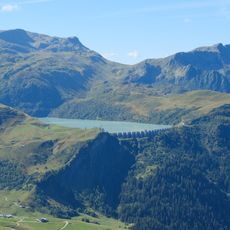
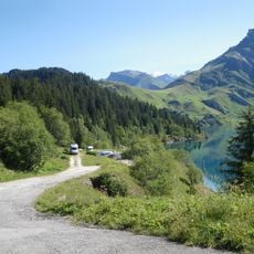
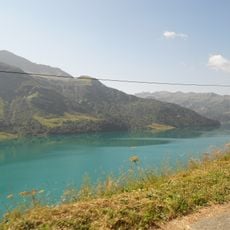
The approach starts at the La Gittaz dam and follows a marked trail with roughly 960 meters of elevation gain over about 13 kilometers. Visitors should expect steep sections and prepare different gear depending on seasonal conditions.
The summit holds a geodetic survey marker that is part of the French mapping network. Careful observers along the route notice old boundary stones that once marked divisions between grazing lands.
The community of curious travelers
AroundUs brings together thousands of curated places, local tips, and hidden gems, enriched daily by 60,000 contributors worldwide.