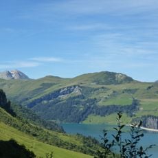
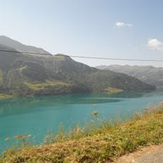
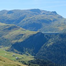
Rocher du Vent, Mountain summit in Beaufort, France
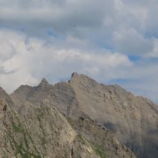
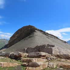
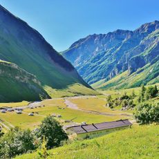
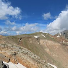
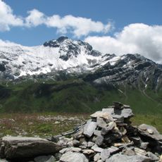
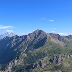
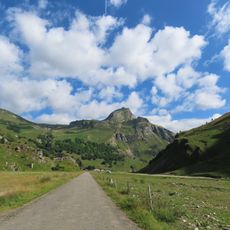
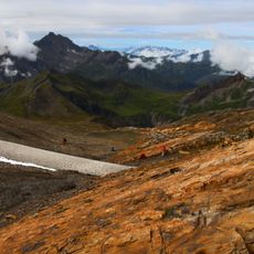
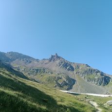
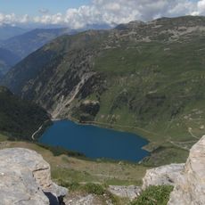
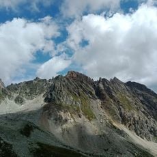
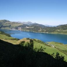
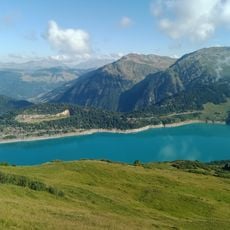
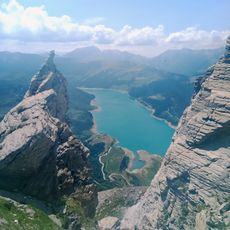
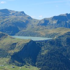
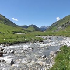
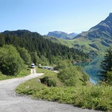
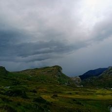
Rocher du Vent is a summit in the Beaufort commune of Savoie, rising to 2,311 metres. It lies about 12.4 km north-west of Bourg-Saint-Maurice, and the higher Aiguille du Grand Fond stands 4.5 km to its south. The surrounding slopes are classed as grassland and mountain terrain.
The sources record no military or via ferrata history for Rocher du Vent. The summit stands at 2,311 metres, 4.5 km south-west of the Aiguille du Grand Fond (2,920 m), and 12.4 km north-east of Bourg-Saint-Maurice. Its slopes are classed as grassland and scrub, in a thinly populated area of roughly 42 inhabitants per square kilometre.
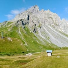
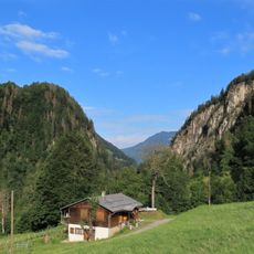
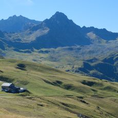
The alpine huts in the area are part of Savoyard cheese-making traditions, especially for producing Beaufort cheese on the surrounding pastures. Visitors can watch cows grazing on the mountain meadows and observe the artisanal cheese production that continues throughout the region.
Rocher du Vent rises to 2,311 m, about 12 km northeast of Bourg-Saint-Maurice and 4.5 km southwest of the Aiguille du Grand Fond (2,920 m). The summit lies in the Beaufort area, where the terrain is mostly grassland and the climate averages 1 °C, with July around 14 °C and January around −10 °C.
Rocher du Vent is a summit in the Beaufort commune of Savoie, at 2,311 m, about 12.4 km from Bourg-Saint-Maurice. The Aiguille du Grand Fond rises 2,920 m some 4.5 km to the north. The surrounding slopes are mostly covered by grassland and heath.
The community of curious travelers
AroundUs brings together thousands of curated places, local tips, and hidden gems, enriched daily by 93,580 contributors worldwide.