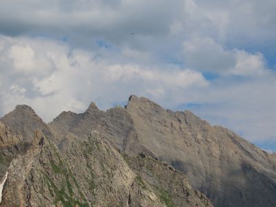
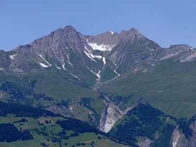
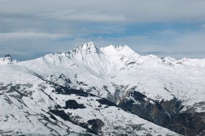
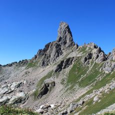
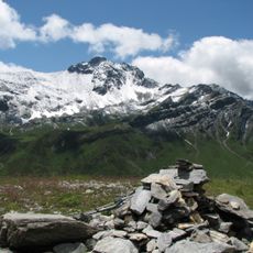
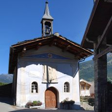
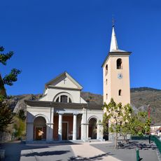
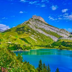
Roignais, Mountain summit in Les Chapelles, France.
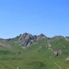
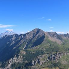
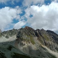
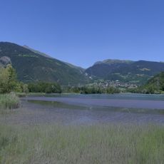
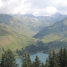
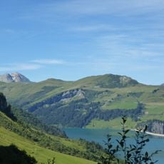
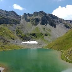
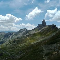
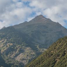
Roignais is a mountain peak in Les Chapelles that rises to approximately 3,000 meters and forms part of the Beaufortain Massif in the French Alps. The summit sits within a larger network of connected ridges and valleys that shape the regional landscape.
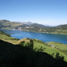
The Beaufortain Massif containing Roignais served as a natural boundary between Alpine regions and influenced how territorial divisions developed over centuries. The mountain range shaped regional connections and trade routes through the French Alps over time.
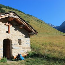
Local mountaineering groups organize annual climbing expeditions to Roignais, maintaining traditional Alpine climbing techniques passed down through generations.
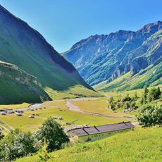
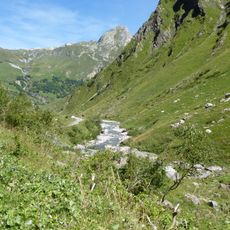
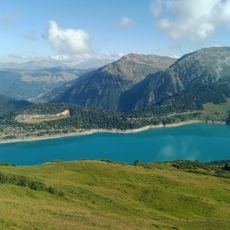
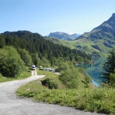
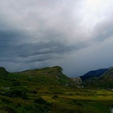
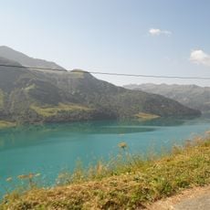
Several marked trails connect Les Chapelles to the summit, with conditions changing noticeably across different seasons. The ascent demands appropriate footwear and solid fitness, particularly on steeper sections of the route.
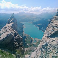
The mountain displays a prominence of roughly 1,000 meters, making it an independent peak that rises distinctly above the surrounding valleys. This topographic quality gives the summit visibility and importance within the regional mountain landscape.
The community of curious travelers
AroundUs brings together thousands of curated places, local tips, and hidden gems, enriched daily by 60,000 contributors worldwide.