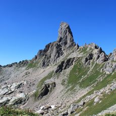
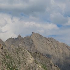
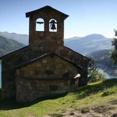
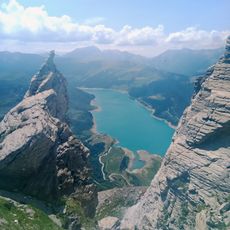
Aiguille du Grand Fond, Mountain summit in Savoie, France
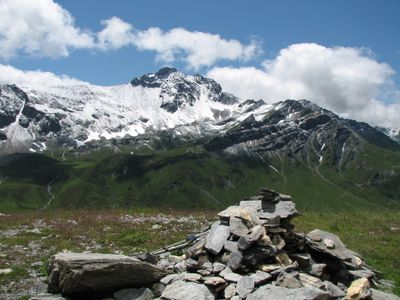
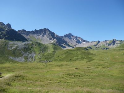
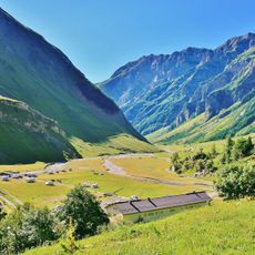
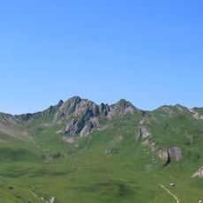
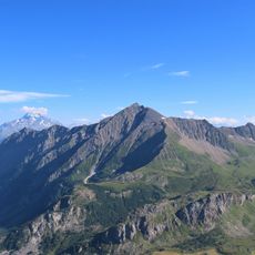
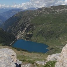
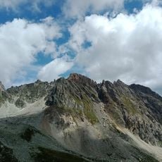
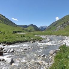
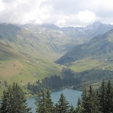
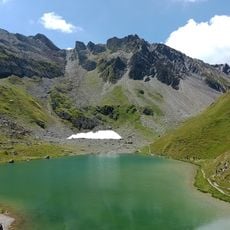
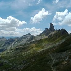
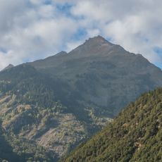
Aiguille du Grand Fond is a mountain peak in the Beaufortain Massif standing at 2,920 meters with a prominence of 296 meters. The summit is reached through mixed climbing terrain combining rock and snow sections typical of this alpine range.
The first recorded ascent took place on August 5, 1860, accomplished by English mountaineer William Mathews and Chamonix guide Michel Croz. This early exploration was part of the Victorian age of alpinism when many peaks in the French Alps were being climbed for the first time.
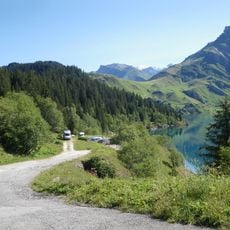
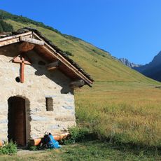
The peak attracts mountaineers and hikers who come here to train and test their skills on various routes. The local climbing community regularly uses this summit as a training ground for more challenging alpine objectives.
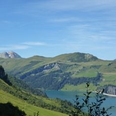
Mountaineering experience and proper equipment including ropes, crampons, and ice axes are essential since the route crosses mixed rock and snow terrain. The best time to visit is summer through early autumn when weather and snow conditions are most stable.
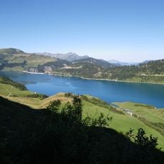
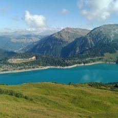
The summit receives less attention than nearby peaks but offers compelling training terrain for intermediate to advanced climbers. Its position within the Beaufortain allows multiple approaches and descents that cater to different technical requirements.
The community of curious travelers
AroundUs brings together thousands of curated places, local tips, and hidden gems, enriched daily by 60,000 contributors worldwide.