Roc de la Charbonnière, Mountain summit in Beaufort and Aime-la-Plagne, France.
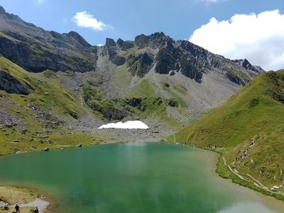
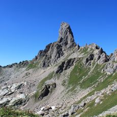
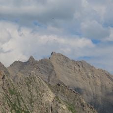
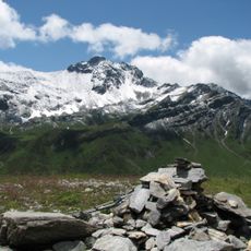
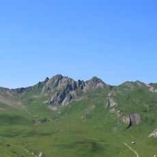
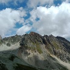
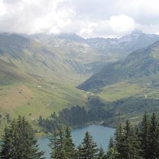
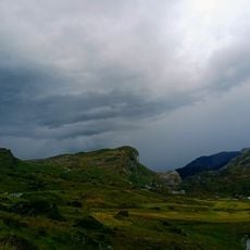
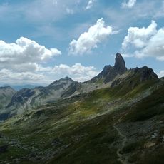
The Roc de la Charbonnière is a summit reaching 2,738 meters, characterized by steep rock walls and a ridge extending alongside Mont Coin. The terrain features alpine meadows, exposed sections, and rocky outcrops that offer varied climbing and walking conditions.
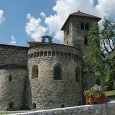
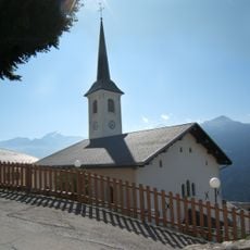
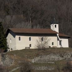
Since medieval times, this summit has marked a natural boundary between alpine communities while serving as a key point on mountain trade routes. The peak and surrounding paths have been used for transport and commerce between regions for centuries.
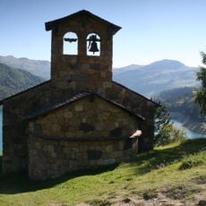
Shepherds graze their flocks on the surrounding slopes during warmer months, shaping the landscape through their seasonal movements. These pastoral practices have remained largely unchanged across generations.
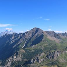
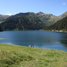
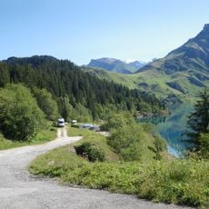
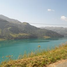
The main approach starts from Refuge de la Coire on a 12-kilometer trail with roughly 950 meters of elevation gain. Starting early and allowing most of the day is wise planning for this demanding route.
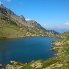
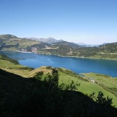
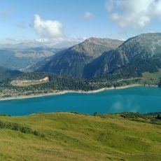
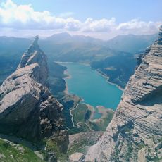
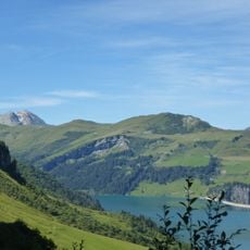
From the summit, a complete 360-degree view reveals both the Aravis mountain range and the glaciers of Mont Blanc. This rare perspective on both major peaks simultaneously is possible from relatively few spots in the region.
The community of curious travelers
AroundUs brings together thousands of curated places, local tips, and hidden gems, enriched daily by 60,000 contributors worldwide.