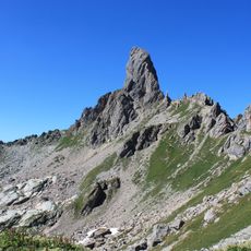
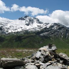
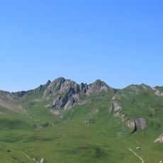
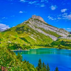
Roche Parstire, Mountain summit in Beaufort, France
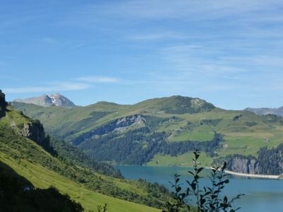
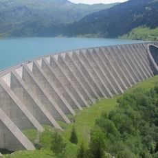
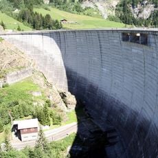
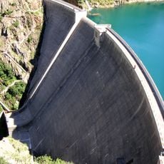
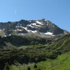
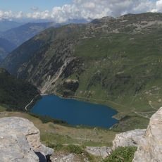
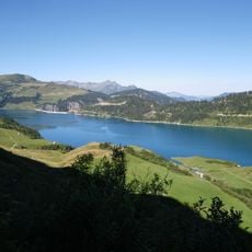
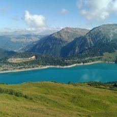
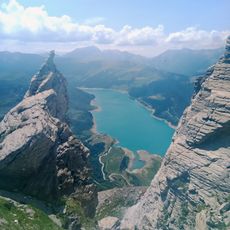
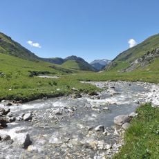
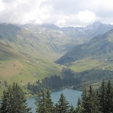
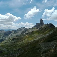
Roche Parstire is a mountain summit at 2,109 meters (6,919 feet) within the Beaufortain massif that stands above rolling alpine meadows and pastureland. From the peak, you can see Lake Roselend's dam below and observe Mont Blanc along the horizon, with the distinctive profile of Pierra Menta mountain visible to the side.
The paths around this summit developed from ancient shepherd routes used to move livestock between seasonal grazing areas, a practice that shaped the landscape over many centuries. These traditional migration routes remain visible in how the alpine meadows are organized and maintained today.
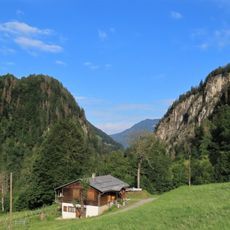
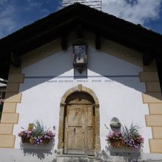
The area around this peak is home to Alpine dairy farming communities who have grazed livestock on these meadows for centuries. Visitors can observe traditional shepherd practices and encounter working farmers during the summer months when herds move to higher pastures.
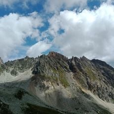
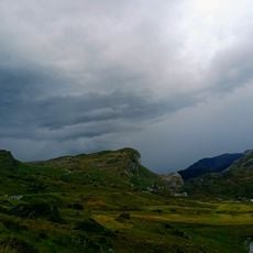
The best hiking season runs from late spring through early autumn when snow has melted and the paths are clear and safely passable. Sturdy hiking boots with good traction are essential, as the route becomes steep and rocky in places.
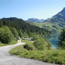
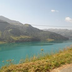
From the summit, you can clearly see the engineering of Lake Roselend's dam far below, which stands as a striking human-made element amid the natural landscape. This structure is particularly visible from this vantage point and offers an unusual perspective on how mountains are modified for modern needs.
The community of curious travelers
AroundUs brings together thousands of curated places, local tips, and hidden gems, enriched daily by 60,000 contributors worldwide.