Grand Mont, Mountain peak in Beaufortain Massif, France
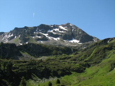
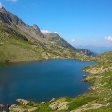
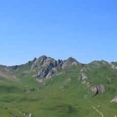
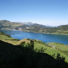
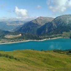
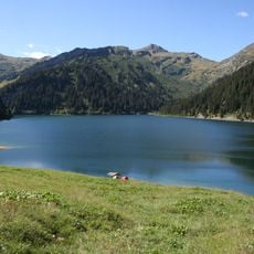
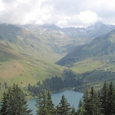
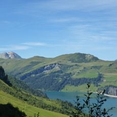
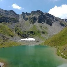
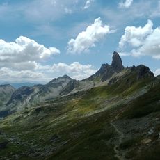
Grand Mont is a mountain peak in the Beaufortain range south of Megève, rising to about 2686 meters (8812 feet). The summit offers views of surrounding ridges and valleys, with slopes that change color through the seasons and rocky outcrops visible from many angles.
The peak formed during the Hercynian folding period hundreds of millions of years ago, when tectonic forces shaped the Alpine region. These ancient geological processes created the entire structure of the Beaufortain range and continue to influence erosion patterns visible today.
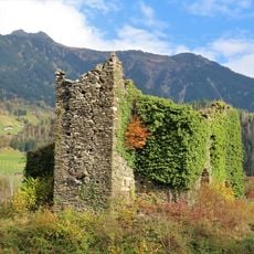
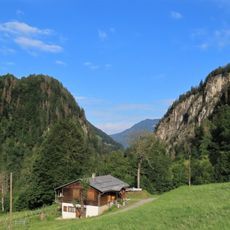
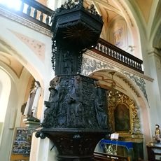
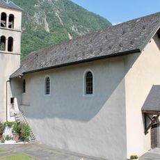
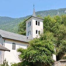
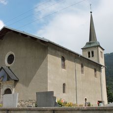
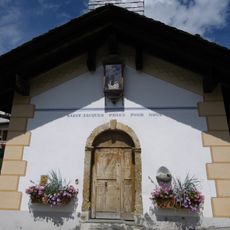
The Alpine dairy tradition shapes life in this mountain region, and visitors can see how shepherds and farmers work the high pastures throughout the year. The way local people use the land reflects centuries of living closely with seasonal mountain rhythms.
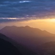
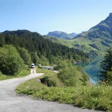
Hikers should wear weather-appropriate clothing and check conditions before climbing, especially from November through April when snow and ice make routes more difficult. The mountain is accessible from several directions, but routes are safest in clear weather when visibility is good.
The mountain marks the boundary between different plant zones, where the shift from forest to open Alpine meadow becomes visibly clear. At various elevations, different animals and plants share this transition area, creating a dynamic patchwork of habitats.
The community of curious travelers
AroundUs brings together thousands of curated places, local tips, and hidden gems, enriched daily by 60,000 contributors worldwide.