Enable Location

We need your location to show you interesting places around you

Discover nearby places

Find interesting locations and hidden gems around you

Precise directions

Get accurate directions and distances to places

Your location is never shared with other users. It's only used when you tap the location button.

Saint-Guérin Dam

Log in to your account

Start exploring — it's free

Trusted by 66,047 travelers worldwide

Continue with Google
Continue with Apple
or

We will send you a code to connect

By continuing, you accept our Terms and Conditions and our Privacy Policy

Check your inbox

We've sent a pincode in your inbox. Please enter the code below.

Saint-Guérin Dam
Discussion Reviews 2 Photos
3.1k Popularity

Saint-Guérin Dam, Arch dam in Beaufort, France

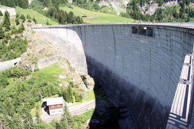
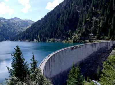
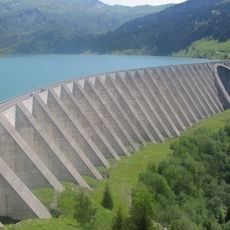
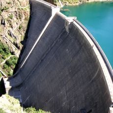
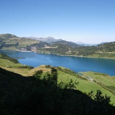
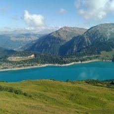
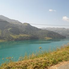
The Saint-Guérin Dam is a concrete arch dam located near Beaufort, in the Savoie department of France. The structure stands 70 m tall, spans 250 m across the valley, and is only about 12 m wide, giving it a notably slender profile for its size.

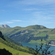
The dam was completed in 1961 as part of France's push to expand hydroelectric production in the Alps after World War II. The Beaufortain valley was chosen for its natural topography, which made it well suited to retaining large volumes of water at altitude.

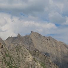
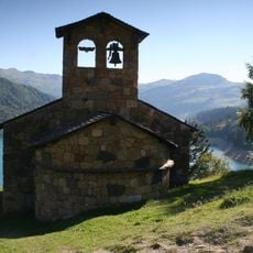
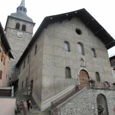
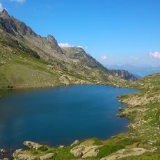
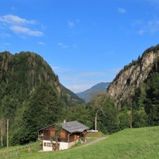
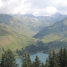
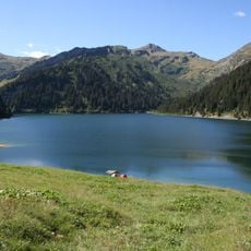
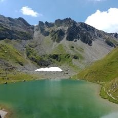
The Saint-Guérin Dam sits at the heart of the Beaufortain area and has become a reference point in how locals and visitors read the surrounding landscape. People walking along the lakeshore often stop to watch the water and the ridgelines that frame it on all sides.

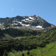
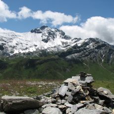
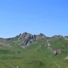
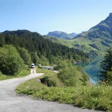
A footpath follows the edge of the reservoir and offers several good vantage points over the dam and the surrounding peaks. The path is most comfortable in the morning, when the mountain light is softer and there are fewer people on the trail.

Since 2015, the dam has been fitted with seismic sensors and water level monitors that record its movements in real time. The data feeds into a national research network studying how arch dams respond to seismic activity, making this structure one of the most closely observed in France.

The community of curious travelers

AroundUs brings together thousands of curated places, local tips, and hidden gems, enriched daily by 60,000 contributors worldwide.

Start exploring
Location
Inception
1961
Height
70 m
Length
250 m
Width
12 m
Made from material
concrete
Operator
EDF
Part of
Aménagement de Roselend - La Bâthie
GPS coordinates
45.65016,6.57945
Latest update
March 3, 2026 13:53
Reviews
Share your experience

No review yet

Discussions
Start a discussion...

No discussion yet

« Saint-Guérin Dam - Arch dam in Beaufort, France » is provided by Around Us (aroundus.com). Images and texts are derived from Wikimedia project under a Creative Commons license. You are allowed to copy, distribute, and modify copies of this page, under the conditions set by the license, as long as this note is clearly visible.

Discover hidden gems everywhere you go!

From secret cafés to breathtaking viewpoints, skip the crowded tourist spots and find places that match your style. Our app makes it easy with voice search, smart filtering, route optimization, and insider tips from travelers worldwide. Download now for the complete mobile experience.

Around Us App Screenshot

A unique approach to discovering new places

Le Figaro

All the places worth exploring

France Info

A tailor-made excursion in just a few clicks

20 Minutes

Around Us
Travel Guide & Maps
Download

Send to your phone

QR Code
1

Open the camera app on your mobile.

2

Point at the QR code with your camera. A notification will appear.

3

Tap the notification to open the link.