Beaufort, Mountain commune in Savoie, France.
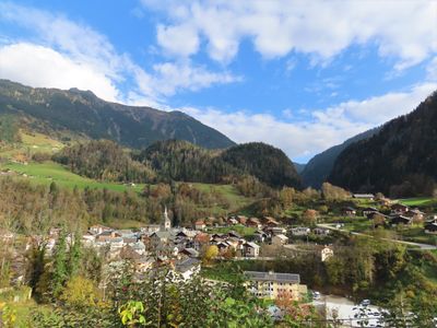
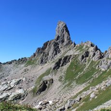
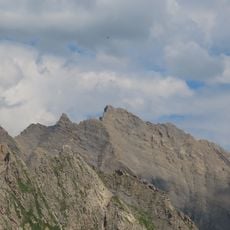
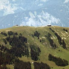
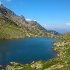
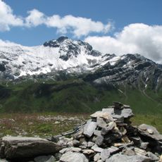
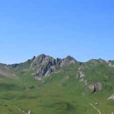
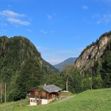
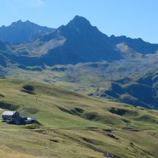
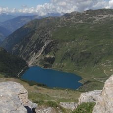
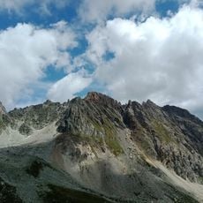
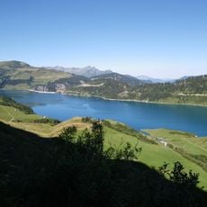
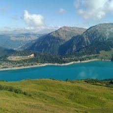
Beaufort is a commune located in the Savoie department at an elevation of 1742 meters, surrounded by extensive alpine pastures and mountainous landscapes of the Beaufortain massif.
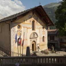
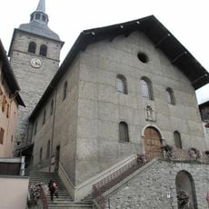
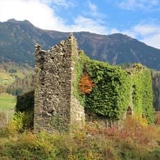
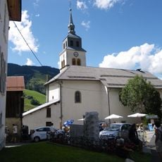
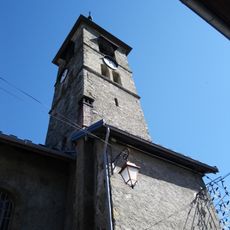
The Beaufort valley was inhabited since antiquity by the Ceutrons, then evangelized in the 5th century by monks, before seeing several medieval castles built to defend the region.
The commune perpetuates the ancestral cheese-making tradition with the production of the famous Beaufort cheese, crafted according to methods transmitted since medieval times in local alpine pastures.
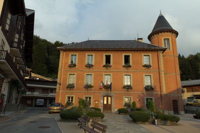
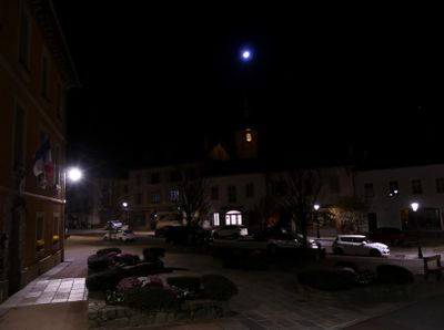
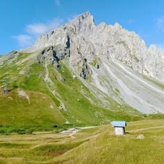
The town hall located at Place du Château-de-Randens provides administrative services, while the Arêches-Beaufort ski resort offers 50 kilometers of slopes between 1050 and 2300 meters altitude.
Beaufort holds the 'flowering towns and villages' label with three flowers since 2014, recognizing its environmental enhancement efforts within this exceptional mountain setting.
Location: canton of Beaufort
Location: Savoie
Location: arrondissement of Albertville
Elevation above the sea: 1,742 m
Shares border with: Aime-la-Plagne, La Bâthie, Bourg-Saint-Maurice, Cevins, Les Chapelles, Hauteluce, La Léchère, Queige, Tours-en-Savoie, Villard-sur-Doron, Les Contamines-Montjoie, La Plagne Tarentaise
Address: 73270 Beaufort, France
Phone: +33479383315
Email: commune.beaufort@mairie-beaufort73.com
Website: http://ville-beaufort.fr
GPS coordinates: 45.71806,6.57500
Latest update: August 19, 2025 09:57
Roselend Dam
5 km
Pierra Menta
10.7 km
Saint-Guérin Dam
7.6 km
Barrage de la Gittaz
5.6 km
Roignais
12.2 km
Grand Mont
10.1 km
Mount Bisanne
6.3 km
Église Saint-Jacques-d'Assyrie de Hauteluce
3.7 km
Chapelle de Roselend
5.9 km
Église Saint-Maxime-de-Riez de Beaufort
135 m
Lacs de la Tempête
11.1 km
Château de la Grande-Salle
358 m
Aiguille du Grand Fond
9.4 km
Mont Coin
10.2 km
Aiguilles de la Penaz
10.1 km
Mont Mirantin
7 km
Défilé d'Entreroches
1 km
Tête de la Cicle
9.6 km
Chaire à prêcher à Beaufort
131 m
Lac de la Gittaz
6 km
Pointe de Gargan
11 km
Lac de Roselend
5.6 km
Via Ferrata Roc du Vent
7.5 km
La Grande Berge
6.9 km
Église Saint-Jean-Baptiste d'Arêches
3.6 km
Église Saint-Pierre de Villard-sur-Doron
3.8 km
Le JAG
2.3 km
Scenic viewpoint
7.4 kmReviews
Visited this place? Tap the stars to rate it and share your experience / photos with the community! Try now! You can cancel it anytime.
Discover hidden gems everywhere you go!
From secret cafés to breathtaking viewpoints, skip the crowded tourist spots and find places that match your style. Our app makes it easy with voice search, smart filtering, route optimization, and insider tips from travelers worldwide. Download now for the complete mobile experience.
A unique approach to discovering new places❞
— Le Figaro
All the places worth exploring❞
— France Info
A tailor-made excursion in just a few clicks❞
— 20 Minutes