Via Ferrata Roc du Vent, Via ferrata in Beaufort, France
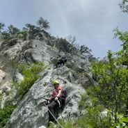
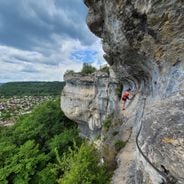
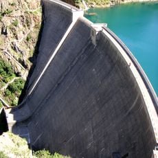
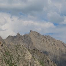
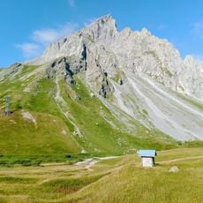
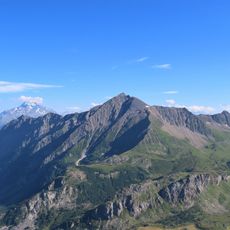
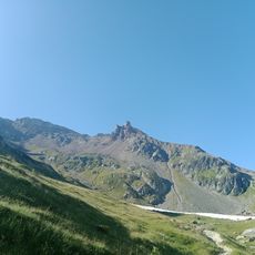
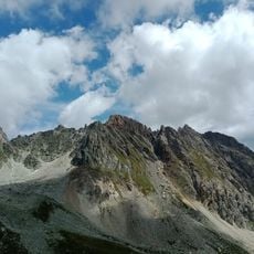
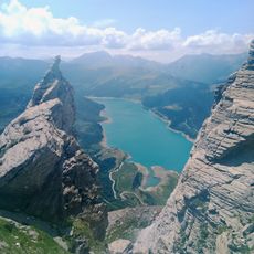
This via ferrata extends 950 meters (3,120 feet) along the Roc du Vent rock face, climbing from 1,815 meters (5,955 feet) to 2,360 meters (7,746 feet) elevation with equipped cables, rungs, ladders, and a 20-meter (66-foot) Nepalese bridge.
The route was created in 1999 to provide accessible mountain climbing for a wide audience, with continuous maintenance over the years including safety improvements and equipment renewal following weather-related damage and rockfalls.
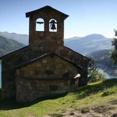
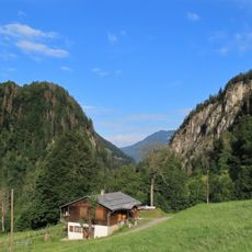
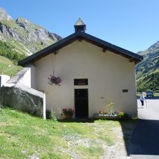
The Beaufortain region maintains strong alpine traditions centered on mountain sports and local specialties like Beaufort cheese, with via ferrata activities representing the area's blend of outdoor adventure and family recreation in the Savoyard Alps.
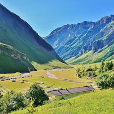
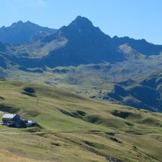
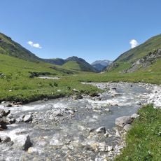
Access begins with a 50-minute approach hike from the parking area at Plan de la Lai near Cormet de Roselend, requiring helmet, gloves, harness, and headlamp for the 200-meter (656-foot) tunnel, with total duration of four to five hours.
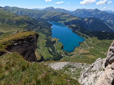
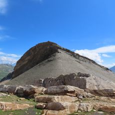
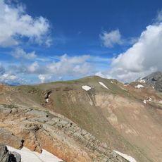
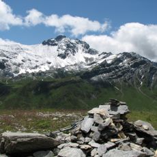
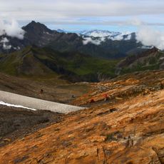
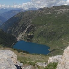
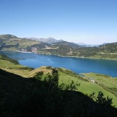
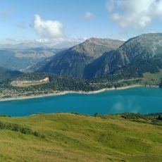
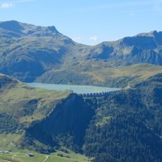
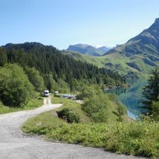
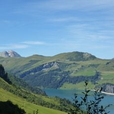
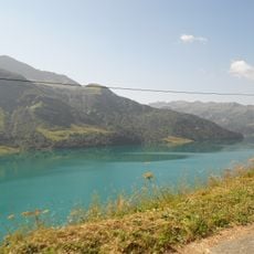
The route features a 200-meter (656-foot) tunnel requiring a headlamp and passes through four distinct sections including narrow canyons, ridge walks, and a Nepalese bridge offering views of Roselend Lake, La Gittaz Lake, and Mont Blanc massif.
Location: Beaufort
Address: Unnamed Road, 73270 Beaufort, France
Website: https://franceviaferrata.fr/via-ferrata-du-roc-du-vent-a-beaufort
GPS coordinates: 45.70314,6.66896
Latest update: November 28, 2025 17:38
Via ferrata routes in the Alps combine steel cables, metal rungs, and bridges into protected climbing paths through alpine rock faces. The routes extend through the Dolomites, French Alps, Austrian Ötztal, and Swiss mountain regions between 2,600 and 9,800 feet in elevation. Routes such as the Ivano Dibona or Cresta Ovest della Marmolada follow former military paths from World War I. Routes like the Via Ferrata de la Cascade in Auvergne-Rhône-Alpes run alongside waterfalls and gorges. In the Salzkammergut and Grisons regions, routes such as Postalm and Schwarzhorn access summits and mountain lakes. The Spanish Voie Olmo near Alicante offers Mediterranean climbing sections in limestone cliffs. Technical sections with overhangs and traverses alternate with secured walking passages. Most via ferrata require climbing harnesses and appropriate equipment.
Roselend Dam
4.6 km
Barrage de la Gittaz
2 km
Roignais
6.9 km
Chapelle de Roselend
1.8 km
Tête Sud des Fours
5.3 km
Vallée des Chapieux
6.2 km
Tête Nord des Fours
5.7 km
Aiguille du Grand Fond
4.1 km
Aiguilles de la Penaz
5.2 km
Pointe de la Terrasse
5.7 km
Défilé d'Entreroches
6.6 km
Tête de la Cicle
5.9 km
Pointe de Mya
5.4 km
Grès Singuliers
5.2 km
Rocher du Bonhomme
4.8 km
Lac de la Gittaz
1.6 km
Pointe de Gargan
6.6 km
Lac de Roselend
3.7 km
La Grande Berge
3.5 km
Scenic viewpoint
84 m
Lac de la Girotte
6.4 km
Torrent de la Gittaz
3.8 km
Chapelle Saint-Jacques-le-Majeur des Chapieux
5.1 km
Scenic viewpoint
3.2 km
Roc du Biolley
1.1 km
Rocher du Vent
215 m
Roche Parstire
6.1 km
Point de vue sur Lac de Roselend
2.6 kmReviews
Visited this place? Tap the stars to rate it and share your experience / photos with the community! Try now! You can cancel it anytime.
Discover hidden gems everywhere you go!
From secret cafés to breathtaking viewpoints, skip the crowded tourist spots and find places that match your style. Our app makes it easy with voice search, smart filtering, route optimization, and insider tips from travelers worldwide. Download now for the complete mobile experience.
A unique approach to discovering new places❞
— Le Figaro
All the places worth exploring❞
— France Info
A tailor-made excursion in just a few clicks❞
— 20 Minutes