Aiguilles de la Penaz, Mountain summit in Les Contamines-Montjoie, France
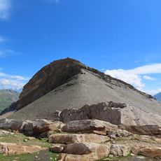
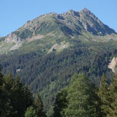
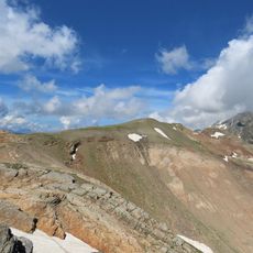
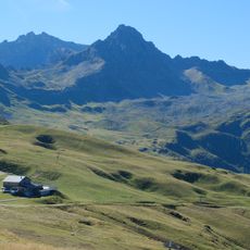
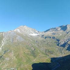
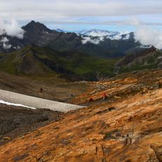
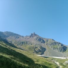
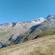
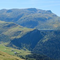
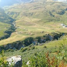
The Aiguilles de la Penaz is a 2,688 m summit in the Beaufortain Massif of Haute-Savoie, France. Its upper part is bare grey rock, steep and ribbed with cracks and jagged edges along the crest; below, grassy slopes fall away on one side and pale scree on the other, with rock breaking through in patches. The French form of the name is aiguilles de la Pennaz.
The sources record no carved path, shelters or herders' route on the Aiguilles de la Penaz; the summit appears only as a named point in the Beaufortain Massif of Haute-Savoie. Its recorded history is one of naming and spelling: the French form aiguilles de la Pennaz, with two n's, replaced the older aiguilles de la Penaz, and the name is sometimes met in the singular as aiguille de la Pennaz.
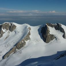
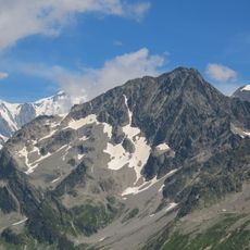
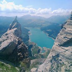
The name appears in two spellings: the French Wikipedia uses "aiguilles de la Pennaz", while older maps and the English article write "Aiguilles de la Penaz"; the singular "aiguille de la Pennaz" also occurs. "Aiguilles" refers to the jagged rock towers of the summit crest, visible as near-vertical grey-black slabs with snow lodged between them.
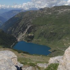
The Aiguilles de la Penaz reach 2,688 m in the Beaufortain Massif, on the border of Les Contamines-Montjoie and Beaufort in Haute-Savoie. The sources give no marked trail, no lake at the start and no equipped rappel; plan the approach as an unmarked high-mountain route and check conditions locally before setting out.
The name appears in two spellings: the French Wikipedia title uses "aiguilles de la Pennaz", while older maps and the English article write "Aiguilles de la Penaz". The summit is also recorded in the singular as "aiguille de la Pennaz". The photographs show a jagged crown of near-vertical grey-black rock towers with snow lodged in the gaps between them.
The community of curious travelers
AroundUs brings together thousands of curated places, local tips, and hidden gems, enriched daily by 94,362 contributors worldwide.