Les Contamines-Montjoie, Alpine commune in Haute-Savoie, France.
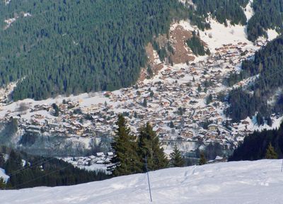
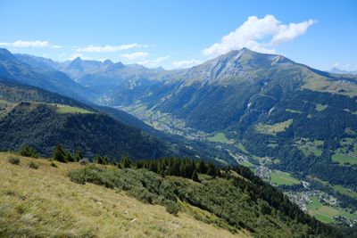
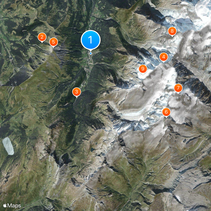
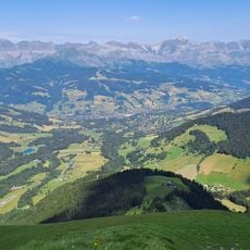
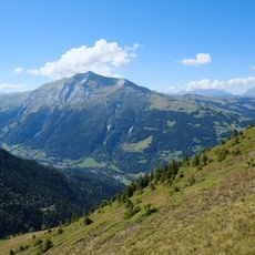
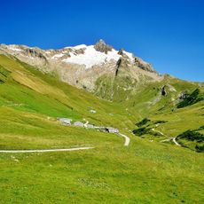
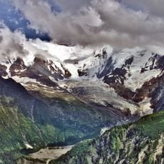
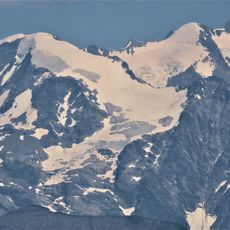
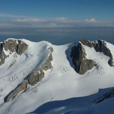
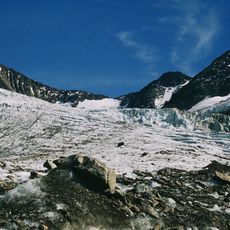
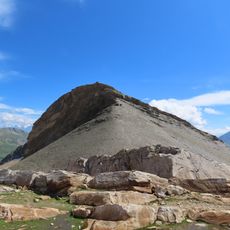
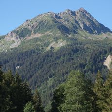
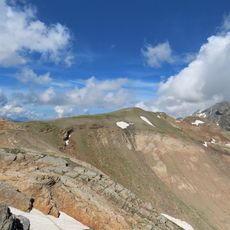
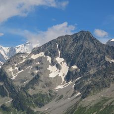
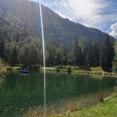
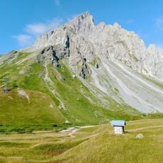
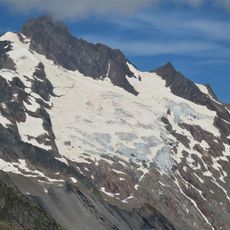
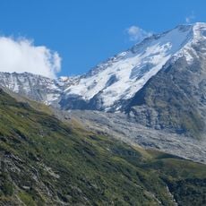
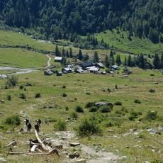
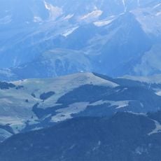
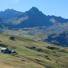
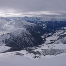
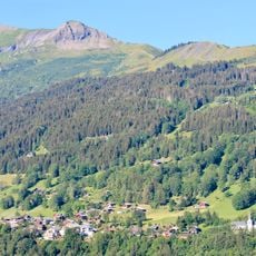
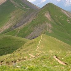
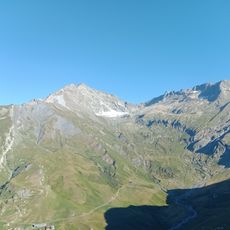
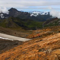
Les Contamines-Montjoie is an alpine settlement in the Haute-Savoie region, located across varied elevations within a valley setting. The area features forests, meadows, and multiple peaks accessible through an extensive network of mountain trails.
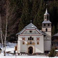
The settlement formed from the merger of two earlier communities in the alpine region and evolved as a mountain village within the administrative structure of modern France. Its development reflects the transition from traditional alpine agriculture to tourism-focused economic activity.
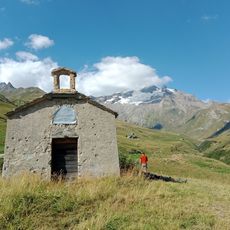
The settlement has grown around mountain tourism and outdoor activities, with local life shaped by the rhythm of seasonal visitors exploring the surrounding peaks and trails. The community maintains traditions tied to alpine living and mountain pursuits that define its character.
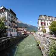
The settlement is accessible by road and offers lodging and shops for visitors exploring the surrounding mountains. The hiking season runs from late spring through early fall when trails are clear of snow and weather conditions are most favorable.
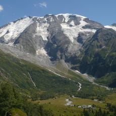
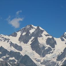
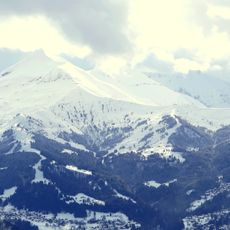
The village sits at the gateway to Mont Blanc's surrounding massif, offering direct access to some of Europe's highest peaks. Many climbers and trekkers use the settlement as a base camp for tackling the challenging routes in the region.
Location: canton of Saint-Gervais-les-Bains
Location: Haute-Savoie
Location: arrondissement of Bonneville
Elevation above the sea: 2,075 m
Shares border with: Courmayeur, Beaufort, Bourg-Saint-Maurice, Hauteluce, Saint-Gervais-les-Bains
Phone: +33450470020
Email: accueil@mairie-lescontamines.com
Website: http://mairie-lescontamines.com
GPS coordinates: 45.82167,6.72917
Latest update: December 20, 2025 02:40
Evasion Mont Blanc
3.8 km
Église Notre Dame de la Gorge, près des Contamines-Montjoie
3.5 km
Dômes de Miage
5.5 km
Mont Joly
2.8 km
Aiguille des Glaciers
7.5 km
Aiguille de Tré la Tête
7.2 km
Glacier de Bionnassay
6.3 km
Armancette Glacier
4.2 km
Chapelle Notre-Dame-des-Neiges de la Ville-des-Glaciers
10.9 km
Réserve naturelle nationale des Contamines-Montjoie
4.7 km
Glacier de Tré-la-Tête
5.8 km
Tête Sud des Fours
10.1 km
Aiguille de Roselette
6.4 km
Tête Nord des Fours
9.6 km
Mont Tondu
6.8 km
Parc de loisirs du Pontet
2.2 km
Aiguilles de la Penaz
8.8 km
Glacier des Glaciers
7.9 km
Glacier de Miage
5.3 km
Chalets de Miage
3.1 km
Mont Joux
5 km
Croix du Christ
4.2 km
Tête de la Cicle
8.1 km
Ruisseau du Dorinet
7.4 km
Mont Géroux
3 kmTête de la Combaz
3.4 km
Lanchettes Glacier
7.3 km
Grès Singuliers
10 kmVisited this place? Tap the stars to rate it and share your experience / photos with the community! Try now! You can cancel it anytime.
Discover hidden gems everywhere you go!
From secret cafés to breathtaking viewpoints, skip the crowded tourist spots and find places that match your style. Our app makes it easy with voice search, smart filtering, route optimization, and insider tips from travelers worldwide. Download now for the complete mobile experience.
A unique approach to discovering new places❞
— Le Figaro
All the places worth exploring❞
— France Info
A tailor-made excursion in just a few clicks❞
— 20 Minutes