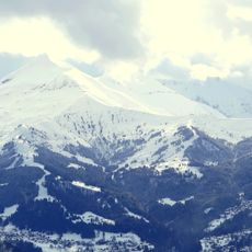
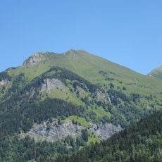
Mont Joly, Mountain peak in Saint-Gervais-les-Bains, France.
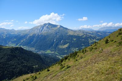
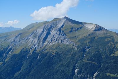
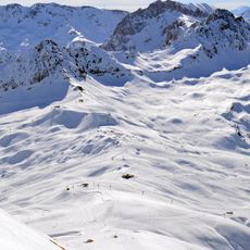
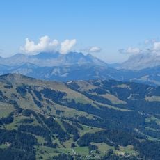
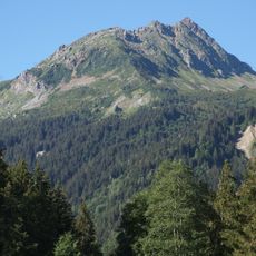
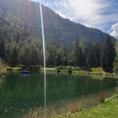
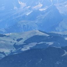
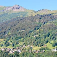
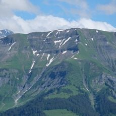
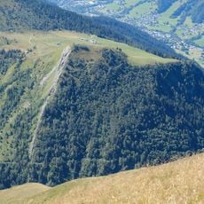
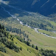
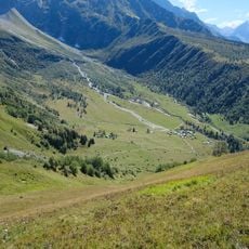
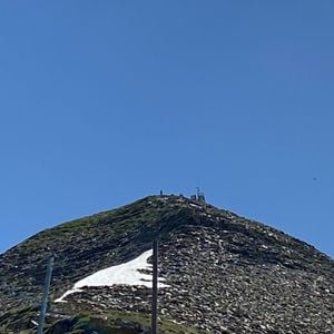
Mont Joly is a mountain peak reaching 2,525 meters in the French Alps near Saint-Gervais-les-Bains. From the summit, you can see Mont Blanc, the Charvin range, and the Bionnassay needles across the surrounding alpine terrain.
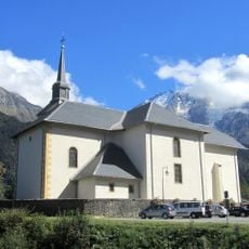
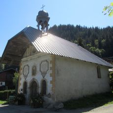
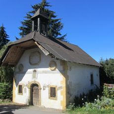
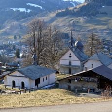
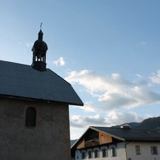
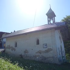
A mountain refuge was built at this location in 1925 at 2,002 meters elevation to serve hikers traveling through the area. The building received a complete renovation in 2016 that updated its facilities for modern visitors.
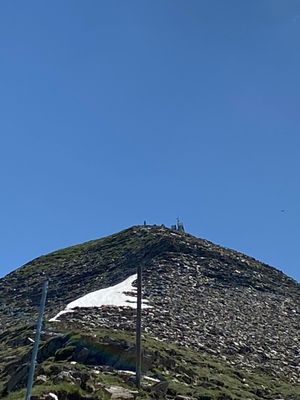
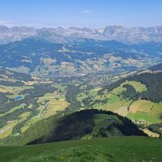
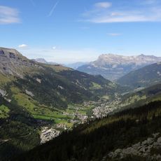
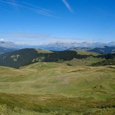
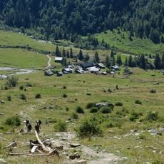
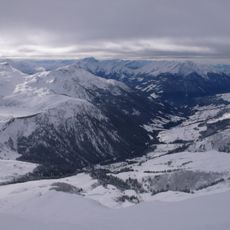
The summit draws hikers seeking views across the alpine landscape and a chance to connect with the mountains. The refuge serves as a gathering place where visitors can experience mountain life and rest during their journeys.
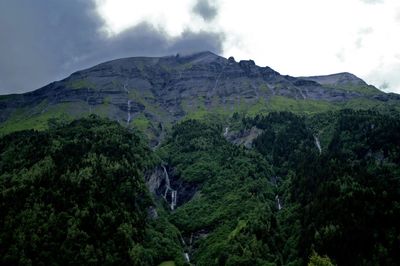
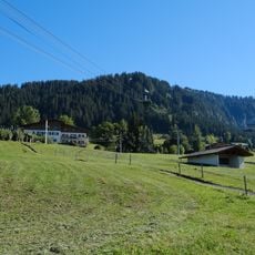
The route from Saint Nicolas de Véroce village takes most of the day to complete and requires steady hiking uphill. Wear good hiking boots and come prepared for alpine conditions, as the path gets steeper as you gain elevation.
Inside the refuge, a 1932 mural by artist Bernard Bouts decorates the walls and depicts the surrounding mountain landscape in artistic detail. This painted work captures how early 20th-century artists saw the alpine scenery around them.
Location: Saint-Gervais-les-Bains
Elevation above the sea: 2,525 m
Website: http://geodesie.ign.fr/fiches/index.php?module=e&action=fichepdf&source=carte&sit_no=7423604
GPS coordinates: 45.82599,6.69298
Latest update: December 12, 2025 14:27
Les Contamines-Montjoie / Hauteluce
4.6 km
Evasion Mont Blanc
946 m
Église Notre Dame de la Gorge, près des Contamines-Montjoie
4.1 km
Domaine du Mont d'Arbois
6.1 km
Mont d'Arbois
3.8 km
Église Saint-Nicolas-de-Véroce de Saint-Gervais-les-Bains
4 km
Val Montjoie
4.1 km
Réserve naturelle nationale des Contamines-Montjoie
6.5 km
Aiguille de Roselette
6.1 km
Chapelle des Chattrix
6.6 km
Rochebrune
6.2 km
Téléphérique de Rochebrune
6.6 km
Parc de loisirs du Pontet
3.7 km
Chapelle des Plans
4.7 km
Chalets de Miage
5.4 km
Mont Joux
2.6 km
Croix du Christ
2.1 km
Mont Vorassay
6.2 km
Ruisseau du Dorinet
6.6 km
Calvaire de Megève
6.1 km
Mont Géroux
936 m
Tête du Véleray
2.3 km
Chalets du Truc
4.5 km
Chapelle Sainte Anne de Megève
6.7 km
Torrent de Miage
3.7 km
Chapelle Notre-Dame-du-Mont-Carmel, Saint-Symphorien, Saint-Antoine-de-Padoue de la Combe
5.1 km
Pâturages de Miage
5.7 km
Sainte-Chapelle de Notre-Dame-de-la-Gorge
4.5 kmVisited this place? Tap the stars to rate it and share your experience / photos with the community! Try now! You can cancel it anytime.
Discover hidden gems everywhere you go!
From secret cafés to breathtaking viewpoints, skip the crowded tourist spots and find places that match your style. Our app makes it easy with voice search, smart filtering, route optimization, and insider tips from travelers worldwide. Download now for the complete mobile experience.
A unique approach to discovering new places❞
— Le Figaro
All the places worth exploring❞
— France Info
A tailor-made excursion in just a few clicks❞
— 20 Minutes