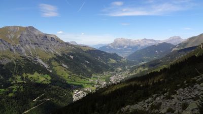
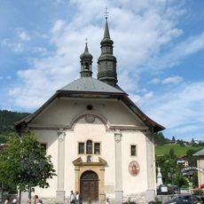
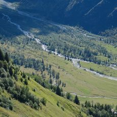
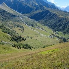
Val Montjoie, Hanging and U-shaped valley in Les Contamines-Montjoie and Saint-Gervais-les-Bains, France.
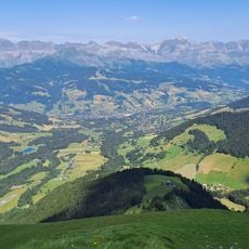
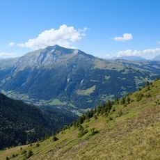
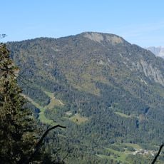
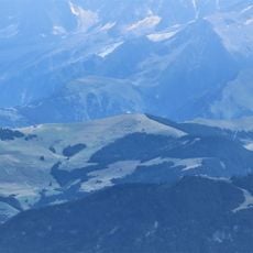
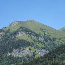
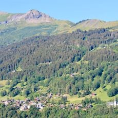
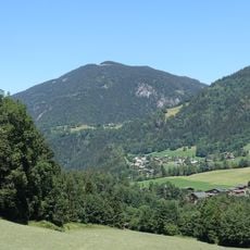
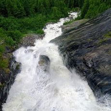
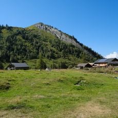
Val Montjoie is a glacial valley shaped by ancient ice flows, showing a clear U-shaped profile with steep valley walls and a broad floor. The valley stretches across high Alpine terrain, connecting two mountain communities while preserving the geological marks left by glaciers thousands of years ago.
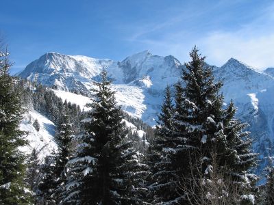
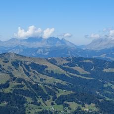
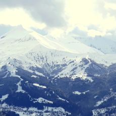
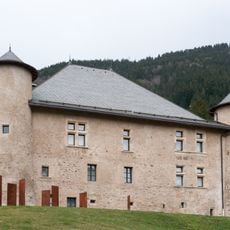
The valley was carved by glaciers millions of years ago, leaving behind the distinctive U-shaped landform we see today. In the 20th century, the arrival of organized skiing infrastructure transformed it into a mountain recreation area.
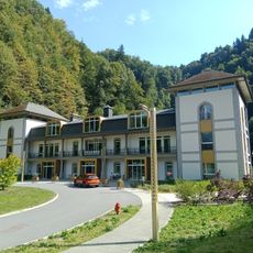
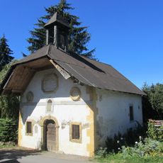
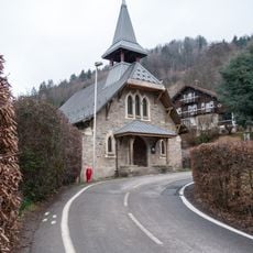
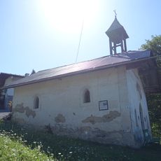
The valley hosts seasonal celebrations where locals share mountain customs through music, regional dishes, and community events that visitors can experience firsthand. These gatherings reflect how the area's Alpine heritage remains part of everyday life.
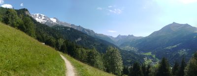
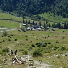
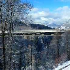
Several hiking trails wind through the valley at different elevations, accessible in most seasons, though weather can change rapidly at higher altitudes. Sturdy footwear and layered clothing are essential, and it is wise to check conditions before setting out.
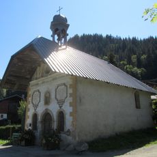
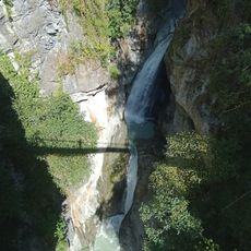
A bicycle route connects the thermal springs below with Mont-Joly's ridgeline above, passing through the narrow Notre Dame de la Gorge canyon in between. This route showcases the full range of landscapes within a single journey.
The community of curious travelers
AroundUs brings together thousands of curated places, local tips, and hidden gems, enriched daily by 60,000 contributors worldwide.