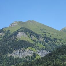
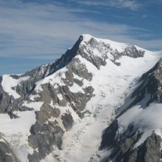
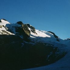
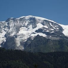
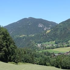
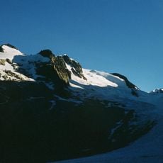
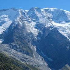
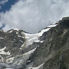
Mont Truc, Mountain summit in Saint-Gervais-les-Bains, France.
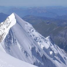
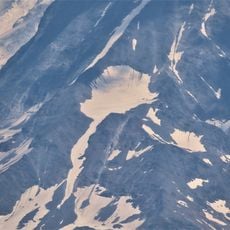
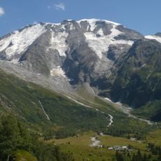
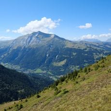
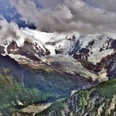
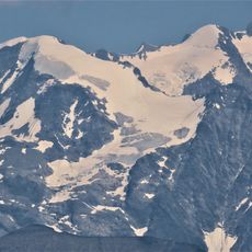
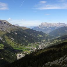
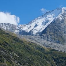
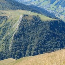
Mont Truc is a summit rising to 1,811 metres, 64 metres above the surrounding terrain, with a base width of about 0.32 kilometres. It lies 6.5 kilometres north of Saint-Gervais-les-Bains, and the Aiguille de Bionnassay stands 5.3 kilometres to its east. The mountain sits in a landscape of steep peaks and glaciers.
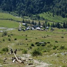
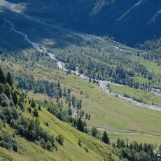
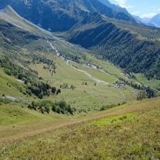
Shepherds have used the mountain routes since the Middle Ages to move livestock between lower and upper pastures. These historic pathways form the foundation of today's hiking trails in the area.
Mont Truc rises to 1,811 m, 64 m above the surrounding terrain, on the slopes above Saint-Gervais-les-Bains, 6.5 km from the town. Its name, Truc, is a Savoyard term for a rocky summit, a word visitors meet throughout the French Alps. The mountain lies within the Mont Blanc massif, 5.3 km west of the Aiguille de Bionnassay.
The hiking route is clearly marked with trail signs and starts from accessible parking areas near Saint-Gervais-les-Bains. Bring sturdy footwear and weather protection, as conditions change quickly at higher elevations.
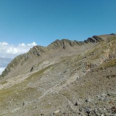
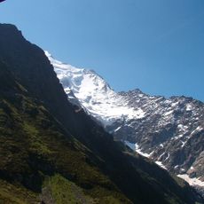
From the summit you have direct views toward the Mont Blanc massif and can see how the surrounding Alpine peaks align geologically. The vantage point reveals the interconnected structure of the entire mountain range from this single location.
The community of curious travelers
AroundUs brings together thousands of curated places, local tips, and hidden gems, enriched daily by 94,136 contributors worldwide.