Enable Location

We need your location to show you interesting places around you

Discover nearby places

Find interesting locations and hidden gems around you

Precise directions

Get accurate directions and distances to places

Your location is never shared with other users. It's only used when you tap the location button.

Aiguille de la Bérangère

Log in to your account

Start exploring — it's free

Trusted by 61,963 travelers worldwide

Continue with Google
Continue with Apple
or

We will send you a code to connect

By continuing, you accept our Terms and Conditions and our Privacy Policy

Check your inbox

We've sent a pincode in your inbox. Please enter the code below.

Aiguille de la Bérangère

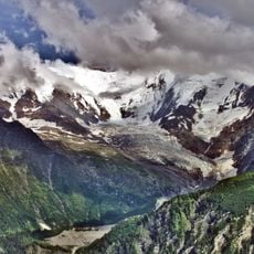
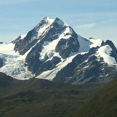
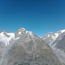
Aiguille de la Bérangère, Mountain summit in Les Contamines-Montjoie, France.

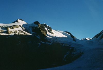
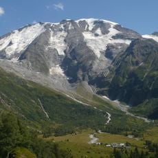
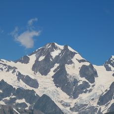
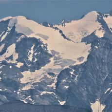
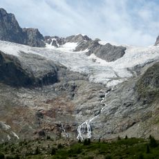
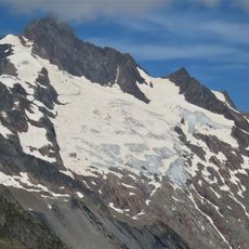
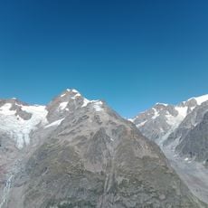
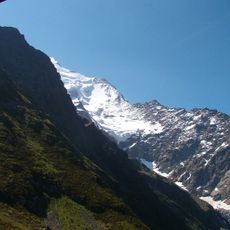
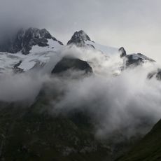
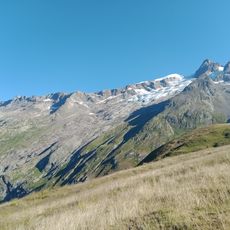
The Aiguille de la Bérangère rises to 3,425 meters in the Mont Blanc massif, featuring glacier crossings and mixed terrain that requires technical mountaineering skills including crampon and ice axe proficiency.

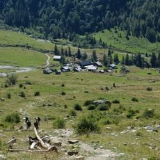
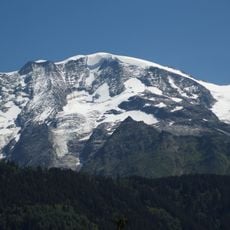
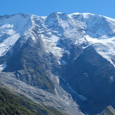
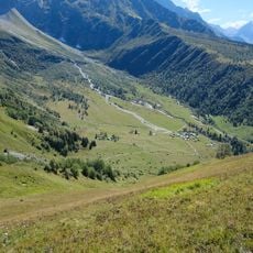
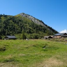
This summit has served as a landmark for local guides and alpinists exploring the Mont Blanc range for generations, with traditional routes through Les Contamines and Tré la Tête refuge being used by countless mountaineers over the decades.

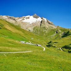
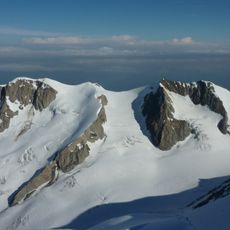
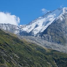
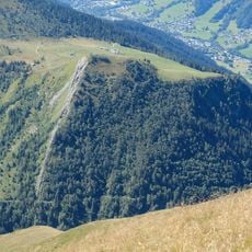
The peak embodies the French Alpine mountaineering tradition, where climbers emphasize safety and environmental respect while ascending through the protected Contamines-Montjoie nature reserve that preserves regional biodiversity and natural landscapes.

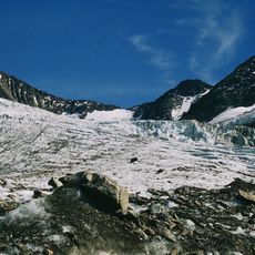
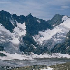
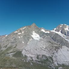
Access begins from Cugnon parking lot with a four-hour hike to Conscrits refuge at 2,602 meters, requiring crampons, ice axes, avalanche safety equipment, and physical preparation for the eight-hour round-trip technical ascent.

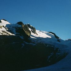
Local legends tell of this needle-like peak being formed by a mythical collision between two Alpine giants, while modern climbers report memorable moonlit ski descents creating otherworldly experiences under the silvery mountain light.

The community of curious travelers

AroundUs brings together thousands of curated places, local tips, and hidden gems, enriched daily by 60,000 contributors worldwide.

Start exploring
Elevation above the sea
3,425 m
GPS coordinates
45.80277,6.77879
Latest update
July 25, 2025 20:37
« Aiguille de la Bérangère - Mountain summit in Les Contamines-Montjoie, France » is provided by Around Us (aroundus.com). Images and texts are derived from Wikimedia project under a Creative Commons license. You are allowed to copy, distribute, and modify copies of this page, under the conditions set by the license, as long as this note is clearly visible.

Discover hidden gems everywhere you go!

From secret cafés to breathtaking viewpoints, skip the crowded tourist spots and find places that match your style. Our app makes it easy with voice search, smart filtering, route optimization, and insider tips from travelers worldwide. Download now for the complete mobile experience.

Around Us App Screenshot

A unique approach to discovering new places

Le Figaro

All the places worth exploring

France Info

A tailor-made excursion in just a few clicks

20 Minutes

Around Us
Travel Guide & Maps
Download

Send to your phone

QR Code
1

Open the camera app on your mobile.

2

Point at the QR code with your camera. A notification will appear.

3

Tap the notification to open the link.