Aiguille des Glaciers

Log in to your account

AroundUs is a community-driven map of interesting places, built by curious explorers like you. It grows with every review, story, and photo you share.
Connect to save your favorite spots, contribute locations, and create personalized routes.
Continue with Google
Continue with Apple
Continue with X
Continue with Facebook
Continue with email
By continuing, you accept our Terms and Conditions and our Privacy Policy
Create an account

Aiguille des Glaciers

Add to collection
Map
Suggest a change
Share

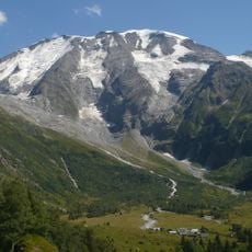
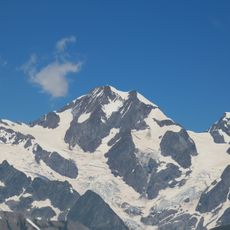
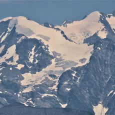
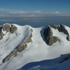
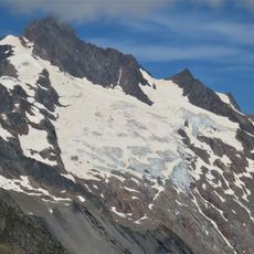
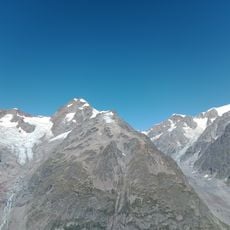
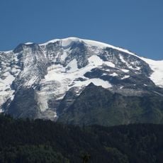
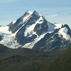
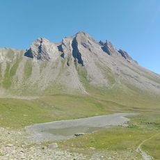
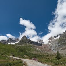
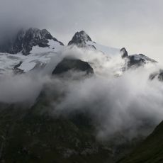
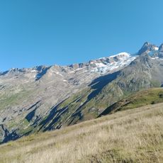
Aiguille des Glaciers, Summit in Mont Blanc massif, France-Italy border.

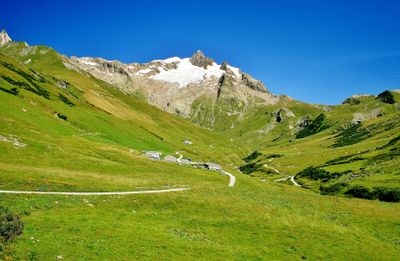
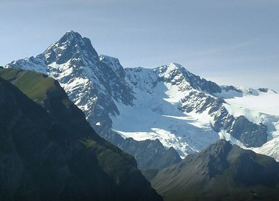
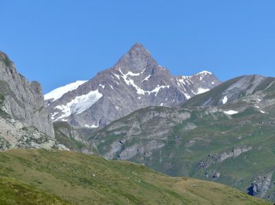
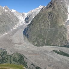
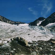
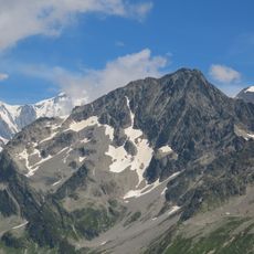
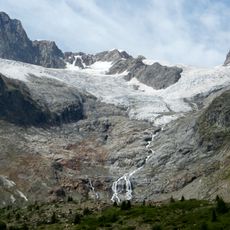
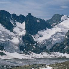
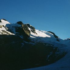
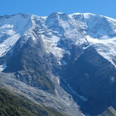
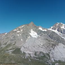
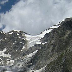
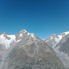
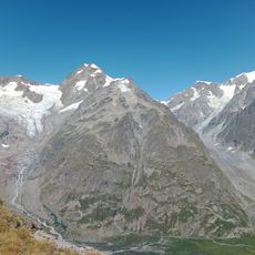
Aiguille des Glaciers is a peak in the Mont Blanc massif positioned along the France-Italy border between Les Contamines-Montjoie and Courmayeur. The mountain features exposed rock and glaciers that shape its appearance and require careful movement during ascent.

The peak served as a natural boundary reference during the 1860 treaty that established the France-Italy border, making it a key geographical marker. This strategic location gave it importance in defining territorial limits between the two nations.

The peak holds significance for mountaineers from both France and Italy, with guides from Courmayeur and Les Contamines-Montjoie maintaining established climbing traditions. These routes carry names and stories shared among climbers across generations.

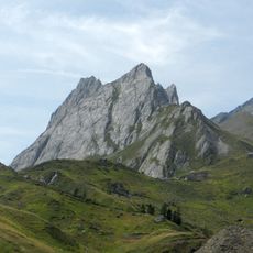
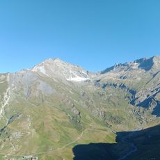
Most climbers begin from base camps or refuges at lower elevations and follow established routes that demand technical skills and specialized gear. Check weather conditions before attempting the climb and consider hiring a local guide familiar with current conditions.

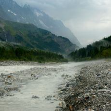
The mountain forms a watershed divide where meltwater flows toward the Mediterranean on one side and the Adriatic on the other. This geological feature influences water flow patterns and weather systems across the broader Alpine region.

Location: Les Contamines-Montjoie

Location: Bourg-Saint-Maurice

Location: Courmayeur

Elevation above the sea: 3,816 m

Part of: France–Italy border, drainage divide between the Adriatic and Mediterranean seas

GPS coordinates: 45.77839,6.80257

Latest update: December 13, 2025 17:01

Photos
Reviews

Visited this place? Tap the stars to rate it and share your experience / photos with the community! Try now! You can cancel it anytime.

« Aiguille des Glaciers - Summit in Mont Blanc massif, France-Italy border » is provided by Around Us (aroundus.com). Images and texts are derived from Wikimedia project under a Creative Commons license. You are allowed to copy, distribute, and modify copies of this page, under the conditions set by the license, as long as this note is clearly visible.

Discover hidden gems everywhere you go!

From secret cafés to breathtaking viewpoints, skip the crowded tourist spots and find places that match your style. Our app makes it easy with voice search, smart filtering, route optimization, and insider tips from travelers worldwide. Download now for the complete mobile experience.

Around Us App Screenshot

A unique approach to discovering new places

Le Figaro

All the places worth exploring

France Info

A tailor-made excursion in just a few clicks

20 Minutes