Enable Location

We need your location to show you interesting places around you

Discover nearby places

Find interesting locations and hidden gems around you

Precise directions

Get accurate directions and distances to places

Your location is never shared with other users. It's only used when you tap the location button.

Petite aiguille des Glaciers

Log in to your account

Start exploring — it's free

Trusted by 63,015 travelers worldwide

Continue with Google
Continue with Apple
or

We will send you a code to connect

By continuing, you accept our Terms and Conditions and our Privacy Policy

Check your inbox

We've sent a pincode in your inbox. Please enter the code below.

Petite aiguille des Glaciers
Discussion Reviews 1 Photos
20+ Popularity

Petite aiguille des Glaciers, Mountain summit between Bourg Saint Maurice, France and Courmayeur, Italy

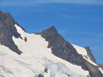
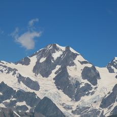
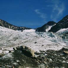
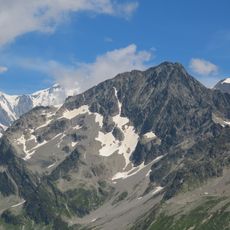
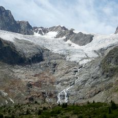
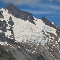
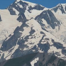
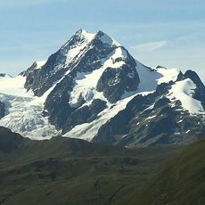
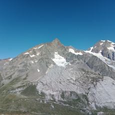
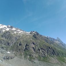
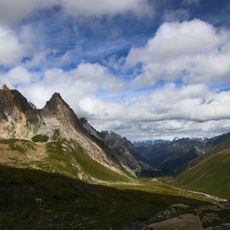
Petite Aiguille des Glaciers is a mountain summit at the border between France and Italy, rising to 3488 meters above sea level. The peak features steep rock faces on its Italian side and a small glacier situated below the summit on the French side.

Mountaineer E. Del Carretto reached the summit with Francesco Gonella, Laurent Proment, Ange Henry, and Gratien Henry in 1878 during the first recorded ascent. This early climbing expedition marked the beginning of modern mountaineering activity in this border region.

The mountain serves as a natural border marker between France and Italy, marking the watershed divide between the Adriatic Sea and Mediterranean Sea basins.

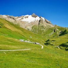
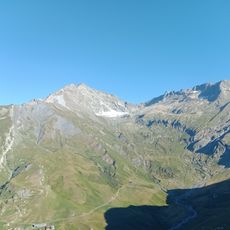
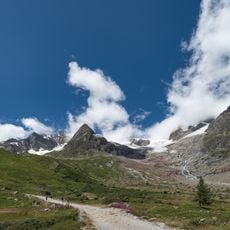
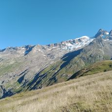
Climbers can reach the mountain from the Italian side via Val Veny or from the French side through the Vallée des Glaciers, with both routes requiring careful navigation over rocky terrain. The choice of route should depend on weather conditions and personal climbing experience.

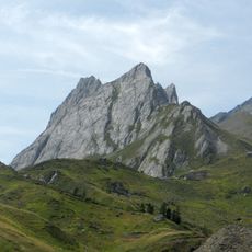
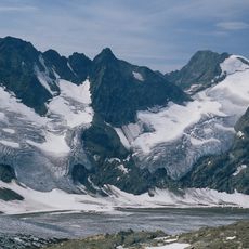
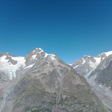
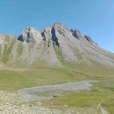
The southern ridge starts with a broad section of stones that transitions into snow and loose rock as climbers ascend toward the summit. These changes make the climb varied and present different challenges at different elevations.

The community of curious travelers

AroundUs brings together thousands of curated places, local tips, and hidden gems, enriched daily by 60,000 contributors worldwide.

Start exploring
Location
Elevation above the sea
3,488 m
Part of
France–Italy border, ligne de partage des eaux entre mer Adriatique et mer Méditerranée
GPS coordinates
45.77125,6.80415
Latest update
December 15, 2025 13:24
Reviews
Share your experience

No review yet

Discussions
Start a discussion...

No discussion yet

« Petite aiguille des Glaciers - Mountain summit between Bourg Saint Maurice, France and Courmayeur, Italy » is provided by Around Us (aroundus.com). Images and texts are derived from Wikimedia project under a Creative Commons license. You are allowed to copy, distribute, and modify copies of this page, under the conditions set by the license, as long as this note is clearly visible.

Discover hidden gems everywhere you go!

From secret cafés to breathtaking viewpoints, skip the crowded tourist spots and find places that match your style. Our app makes it easy with voice search, smart filtering, route optimization, and insider tips from travelers worldwide. Download now for the complete mobile experience.

Around Us App Screenshot

A unique approach to discovering new places

Le Figaro

All the places worth exploring

France Info

A tailor-made excursion in just a few clicks

20 Minutes

Around Us
Travel Guide & Maps
Download

Send to your phone

QR Code
1

Open the camera app on your mobile.

2

Point at the QR code with your camera. A notification will appear.

3

Tap the notification to open the link.