Enable Location

We need your location to show you interesting places around you

Discover nearby places

Find interesting locations and hidden gems around you

Precise directions

Get accurate directions and distances to places

Your location is never shared with other users. It's only used when you tap the location button.

Log in to your account

Start exploring — it's free

Trusted by 61,463 travelers worldwide

Continue with Google
Continue with Apple
or

We will send you a code to connect

By continuing, you accept our Terms and Conditions and our Privacy Policy

Check your inbox

We've sent a pincode in your inbox. Please enter the code below.

Tête Carrée

Tête Carrée, Mountain peak at Les Contamines-Montjoie and Courmayeur, France-Italy.

Description

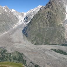
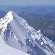
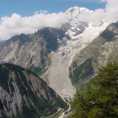
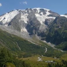
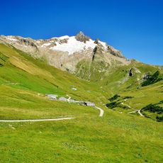
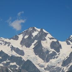
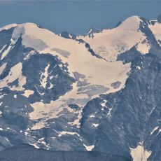
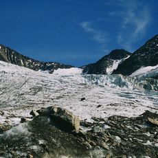
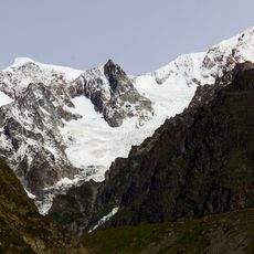
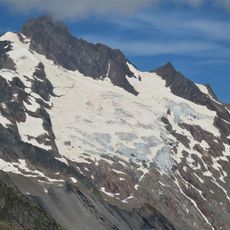
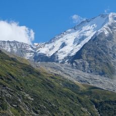
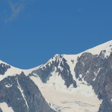
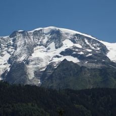
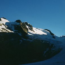
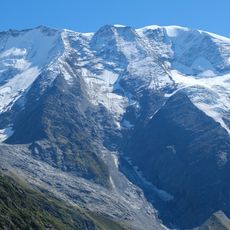
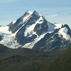
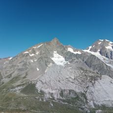
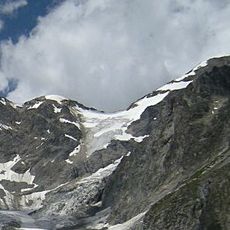
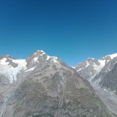
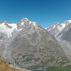
Tête Carrée is a mountain peak at 3732 meters forming the border between France and Italy with steep rock faces and sustained slopes throughout. The summit takes its name from its distinctly flat, square-shaped top that stands out in the Mont Blanc massif.

History

The peak has long marked the international border and helped define territorial boundaries in the Mont Blanc massif during surveying efforts. Early mountaineers who climbed both sides contributed to the mapping and demarcation of this frontier region.

Culture

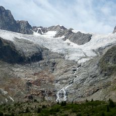
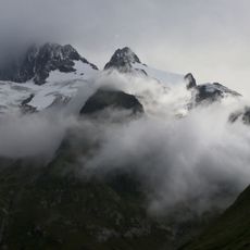
Local mountaineering traditions include technical ascents from both Les Contamines and Courmayeur sides, following routes established by early Alpine pioneers.

Practical

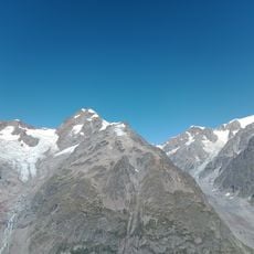
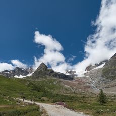
Routes demand technical climbing skills, glacier crossings, and proper mountaineering gear to manage the steep terrain safely. Starting points lie at lower elevations on both the French and Italian sides with increasingly demanding conditions higher up.

Did you know?

The summit features a system of couloirs that link the climbing routes on both sides, allowing climbers to choose different paths to the top. These channels through the rock add variety to the ascent and create distinct climbing experiences depending on the chosen direction.

Location
Elevation above the sea
3,732 m
Part of
France–Italy border, ligne de partage des eaux entre mer Adriatique et mer Méditerranée
GPS coordinates
45.80172,6.81182
Latest update
December 15, 2025 13:24

AroundUs brings together thousands of curated places, local tips, and hidden gems, enriched daily by 60,000 contributors worldwide. Discover all places nearby (Les Contamines-Montjoie).

« Tête Carrée - Mountain peak at Les Contamines-Montjoie and Courmayeur, France-Italy » is provided by Around Us (aroundus.com). Images and texts are derived from Wikimedia project under a Creative Commons license. You are allowed to copy, distribute, and modify copies of this page, under the conditions set by the license, as long as this note is clearly visible.

Discover hidden gems everywhere you go!

From secret cafés to breathtaking viewpoints, skip the crowded tourist spots and find places that match your style. Our app makes it easy with voice search, smart filtering, route optimization, and insider tips from travelers worldwide. Download now for the complete mobile experience.

Around Us App Screenshot

A unique approach to discovering new places

Le Figaro

All the places worth exploring

France Info

A tailor-made excursion in just a few clicks

20 Minutes

Around Us
Travel Guide & Maps
Download

Send to your phone

QR Code
1

Open the camera app on your mobile.

2

Point at the QR code with your camera. A notification will appear.

3

Tap the notification to open the link.