Mont d'Arbois, Mountain summit in Haute-Savoie, France.
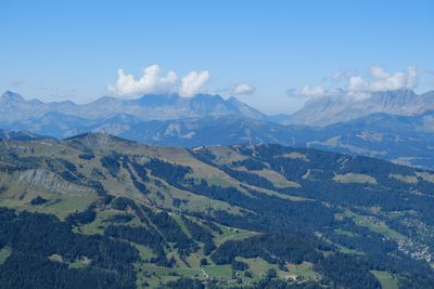
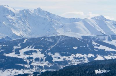
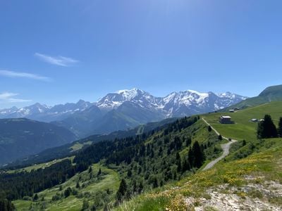
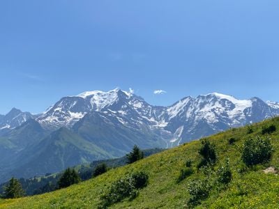
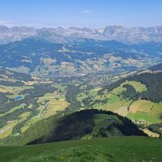
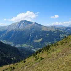
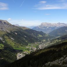
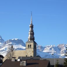
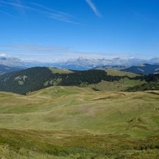
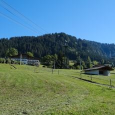
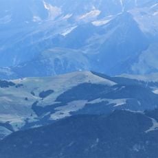
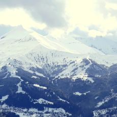
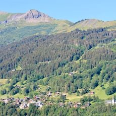
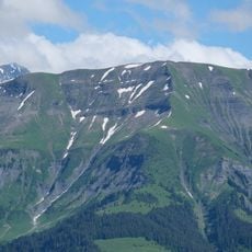
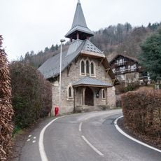
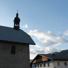
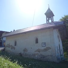
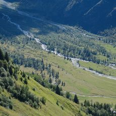
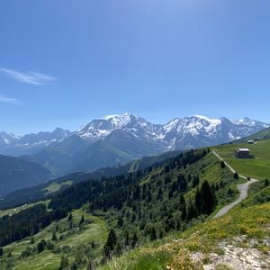
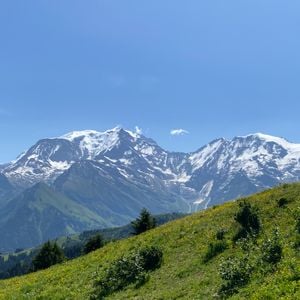
Mont d'Arbois is a mountain summit near Saint-Gervais-les-Bains that rises to approximately 1833 meters and features a broad plateau with meadows and scattered buildings. From this location, one can see Mont-Blanc and other Alpine peaks in the distance.
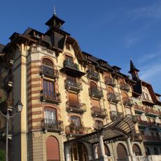
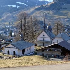
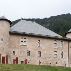
This summit was developed as a leisure and tourism destination in the 1920s when local industrialists began building pathways and structures. This transformation shifted it from purely agricultural grazing land to a popular recreational spot.
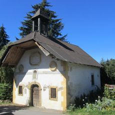
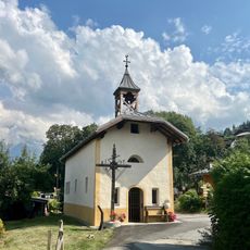
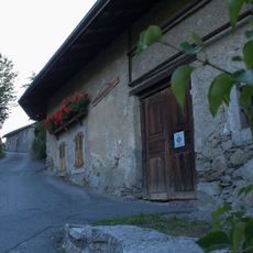
The mountain held importance for local farmers and herders who grazed livestock on its meadows for centuries. Today the old paths and stone huts reflect this pastoral heritage that shaped life in the region for generations.
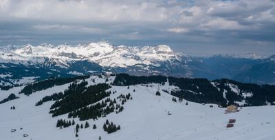
A cable car connects the valley to the summit and operates during the warmer months. Visitors should arrive early in the day, as the upper areas can become obscured quickly when fog rolls in.
This peak served as a refuge during World War II for French intellectuals seeking to escape persecution. This episode shows how remote mountain locations became shelters for people during times of crisis.
Location: Saint-Gervais-les-Bains
Elevation above the sea: 1,839 m
GPS coordinates: 45.85520,6.66881
Latest update: December 14, 2025 11:03
Evasion Mont Blanc
3.1 km
Thermes de Saint Gervais Mont-Blanc
5.4 km
Domaine du Mont d'Arbois
3.2 km
Mont Joly
3.8 km
Église Saint-Nicolas-de-Véroce de Saint-Gervais-les-Bains
4.2 km
Église Saint-Jean-Baptiste de Megève
3.9 km
Val Montjoie
5 km
Église Saint-Nicolas de Combloux
5 km
Église Saint-Gervais de Saint-Gervais-les-Bains
5.3 km
Chapelle des Chattrix
4.8 km
Rochebrune
5 km
Hôtel du Mont-Joly
5.6 km
Téléphérique de Rochebrune
4.2 km
Chapelle des Plans
3.7 km
Mont Joux
1.1 km
Croix du Christ
1.8 km
Calvaire de Megève
3.3 km
Mont Géroux
3.1 km
Chapelle Saint-Guérin de Saint-Gervais-les-Bains
4.4 km
Ferme à Isidore de Combloux
4.8 km
Tête du Véleray
5 km
Viaduc de Saint-Gervais
5.3 km
Cascade de Crépin
5.3 km
Temple de la Vignette
5.7 km
Chapelle Sainte Anne de Megève
3.9 km
Chapelle Notre-Dame-du-Mont-Carmel, Saint-Symphorien, Saint-Antoine-de-Padoue de la Combe
3.4 km
Torrent de Miage
4.7 km
Maison forte de Hautetour
5.4 kmVisited this place? Tap the stars to rate it and share your experience / photos with the community! Try now! You can cancel it anytime.
Discover hidden gems everywhere you go!
From secret cafés to breathtaking viewpoints, skip the crowded tourist spots and find places that match your style. Our app makes it easy with voice search, smart filtering, route optimization, and insider tips from travelers worldwide. Download now for the complete mobile experience.
A unique approach to discovering new places❞
— Le Figaro
All the places worth exploring❞
— France Info
A tailor-made excursion in just a few clicks❞
— 20 Minutes