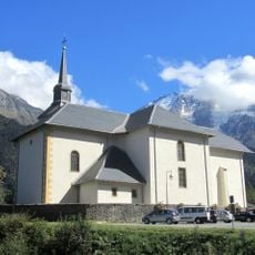
Mont Joux, Mountain summit in Saint-Gervais-les-Bains, France
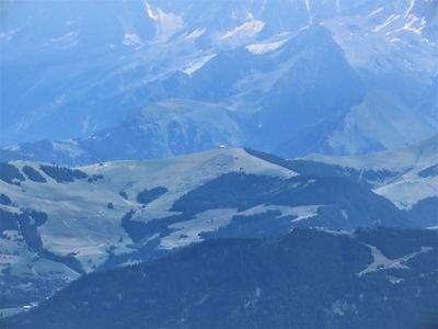
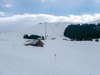
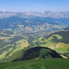
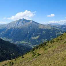
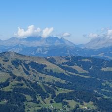
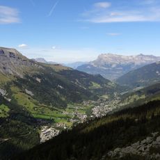
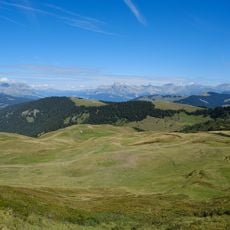
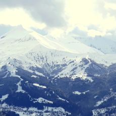
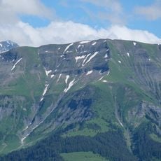
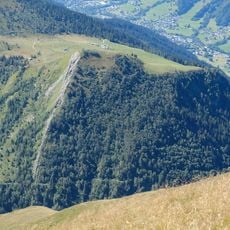
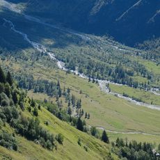
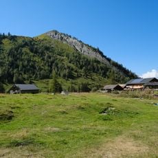
Mont Joux is a mountain summit in the French Alps near Saint-Gervais-les-Bains, reaching an elevation of about 1964 meters. The terrain features several marked hiking routes across the slopes with views of surrounding peaks.
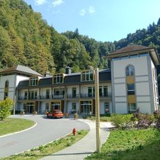
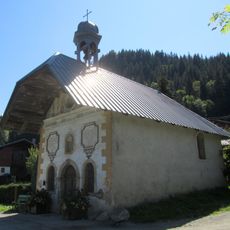
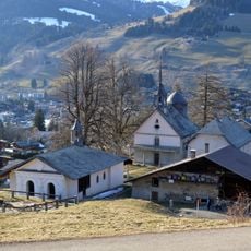
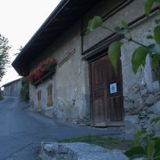
The mountain sits on the territory of the former Duchy of Savoy, which shaped the alpine region between France, Italy, and Switzerland until the 19th century. This strategic location made the Alps an important borderland with deep historical roots.
Local mountain guides maintain traditions established in the 19th century, leading visitors through carefully mapped routes while sharing knowledge of Alpine navigation.
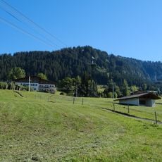
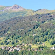
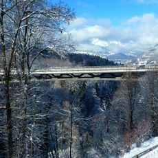
Trails are marked with orange indicators that hikers can easily spot. Most routes start from lower elevations and allow for various difficulty levels, so it helps to assess your fitness beforehand.
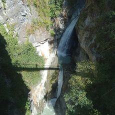
Orange marker stakes form a network connecting Mont Joux with neighboring mountain points like La Bourgeoise. This system lets hikers combine different routes and explore longer alpine stretches.
Location: Saint-Gervais-les-Bains
Elevation above the sea: 1,964 m
GPS coordinates: 45.84661,6.67631
Latest update: December 14, 2025 20:26
Les Contamines-Montjoie / Hauteluce
6.7 km
Evasion Mont Blanc
2 km
Thermes de Saint Gervais Mont-Blanc
6 km
Domaine du Mont d'Arbois
3.9 km
Mont Joly
2.6 km
Mont d'Arbois
1.1 km
Église Saint-Nicolas-de-Véroce de Saint-Gervais-les-Bains
3.7 km
Église Saint-Jean-Baptiste de Megève
4.6 km
Val Montjoie
4.4 km
Église Saint-Gervais de Saint-Gervais-les-Bains
5.7 km
Chapelle des Chattrix
5.1 km
Rochebrune
5.1 km
Téléphérique de Rochebrune
4.8 km
Chapelle des Plans
3.6 km
Croix du Christ
790 m
Calvaire de Megève
4 km
Mont Géroux
2 km
Chapelle Saint-Guérin de Saint-Gervais-les-Bains
5.1 km
Ferme à Isidore de Combloux
5.9 km
Tête du Véleray
4 km
Viaduc de Saint-Gervais
5.8 km
Cascade de Crépin
5.8 km
Chalets du Truc
5.8 km
Chapelle Sainte Anne de Megève
4.6 km
Chapelle Notre-Dame-du-Mont-Carmel, Saint-Symphorien, Saint-Antoine-de-Padoue de la Combe
3.6 km
Torrent de Miage
4.1 km
Maison forte de Hautetour
5.9 km
Mont Truc
6 kmVisited this place? Tap the stars to rate it and share your experience / photos with the community! Try now! You can cancel it anytime.
Discover hidden gems everywhere you go!
From secret cafés to breathtaking viewpoints, skip the crowded tourist spots and find places that match your style. Our app makes it easy with voice search, smart filtering, route optimization, and insider tips from travelers worldwide. Download now for the complete mobile experience.
A unique approach to discovering new places❞
— Le Figaro
All the places worth exploring❞
— France Info
A tailor-made excursion in just a few clicks❞
— 20 Minutes