Le Prarion, Free flight site in Saint-Gervais-les-Bains, France
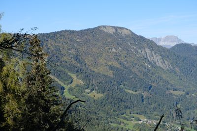
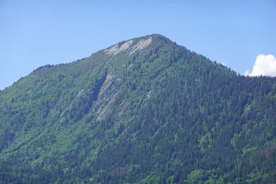
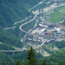
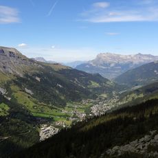
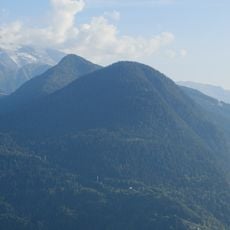
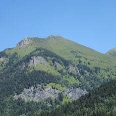
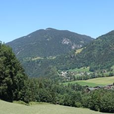
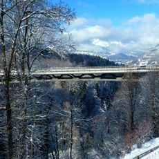
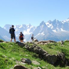
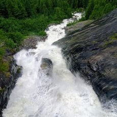
Le Prarion is a summit near Saint-Gervais-les-Bains at approximately 1969 meters elevation that offers paragliders excellent launch points with views toward Mont Blanc and the Dômes de Miage. A cable car connects the valley floor to the peak, serving both flying and hiking activities across multiple trails.
Le Prarion began developing as a sporting destination in the early 20th century when winter sports facilities were first built. Since then, it has become an established location for paragliding and mountain activities.
Hikers and paragliders gather regularly at the summit of Le Prarion for sporting events that bring together local and international communities.
The ascent from the valley base to the summit covers about 830 meters elevation gain, which enables extended flights over the valley while challenging your endurance. The cable car provides year-round access, and the parking area at Toilles serves as a convenient starting point for summer visitors.
The site features an elevation gain of 830 meters from the starting point at 1160 meters, enabling extended flights over the valley.
Location: Saint-Gervais-les-Bains
Elevation above the sea: 1,969 m
GPS coordinates: 45.89418,6.75050
Latest update: December 14, 2025 20:02
Mont Blanc Tramway
1.3 km
Statue of Christ the King
4.1 km
Égratz Viaduct
3.4 km
Thermes de Saint Gervais Mont-Blanc
3.5 km
Église Saint-Nicolas-de-Véroce de Saint-Gervais-les-Bains
4.9 km
Bon-Nant
4.4 km
Val Montjoie
5.1 km
Église Saint-Gervais de Saint-Gervais-les-Bains
3 km
Chapelle des Chattrix
2.9 km
Hôtel du Mont-Joly
3.1 km
Petit Train du Parc Thermal
3.5 km
Inscription romaine du col de la Forclas
3.1 km
Tête Noire
1.6 km
Chapelle des Plans
4.3 km
Mont Vorassay
4.8 km
River bridge of la Griaz
3.7 km
Chapelle Saint-Guérin de Saint-Gervais-les-Bains
4.1 km
Tête de la Charme
1.5 km
Viaduc de Saint-Gervais
3.2 km
Cascade de Crépin
3.2 km
Tour Du Mont Blanc
3.9 km
Église Saint-Joseph de Chedde
4.3 km
Église Saint-Jean-Baptiste des Houches
3.8 km
Temple de la Vignette
2.8 km
Chapelle de Vaudagne
1.8 km
Chapelle Notre-Dame-du-Mont-Carmel, Saint-Symphorien, Saint-Antoine-de-Padoue de la Combe
4.3 km
Torrent de Bionnassay
4.5 km
Maison forte de Hautetour
2.9 kmVisited this place? Tap the stars to rate it and share your experience / photos with the community! Try now! You can cancel it anytime.
Discover hidden gems everywhere you go!
From secret cafés to breathtaking viewpoints, skip the crowded tourist spots and find places that match your style. Our app makes it easy with voice search, smart filtering, route optimization, and insider tips from travelers worldwide. Download now for the complete mobile experience.
A unique approach to discovering new places❞
— Le Figaro
All the places worth exploring❞
— France Info
A tailor-made excursion in just a few clicks❞
— 20 Minutes