Tête Nord des Fours, Alpine summit in Bourg Saint Maurice and Les Contamines-Montjoie, France.
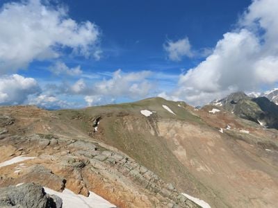
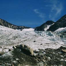
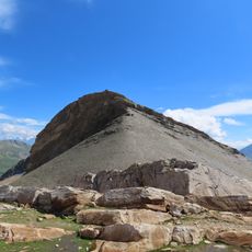
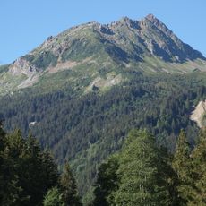
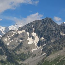
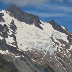
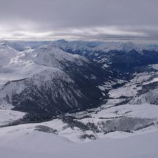
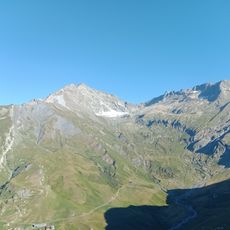
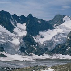
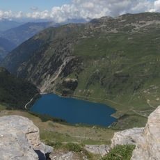
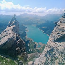
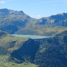
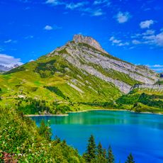
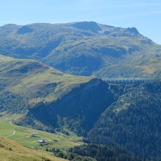
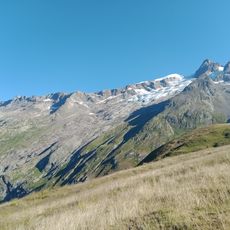
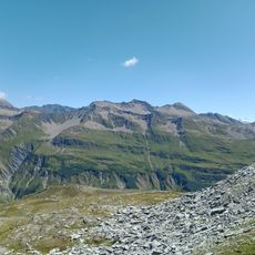
Tête Nord des Fours is an alpine peak at 2,756 meters (9,042 feet) located between Bourg-Saint-Maurice and Les Contamines-Montjoie. The summit provides expansive views across Mont Blanc, the Italian Alps, the Aravis range, and distant mountain chains toward Grenoble.
Roman roads once crossed the mountains near this summit as major trade routes connecting valleys on both sides of the Alps. These ancient paths were essential for commerce and movement between regions throughout classical times.
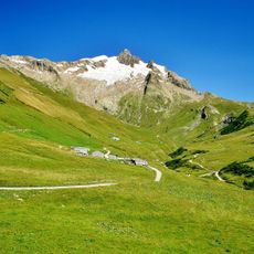
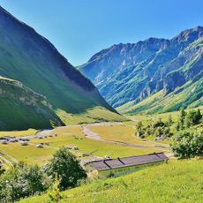
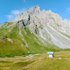
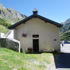
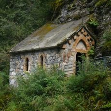
The refuge of Nant Borrant has served as a stopping point for mountain travelers since the 1800s, offering meals and shelter during the climbing season. Its presence connects this peak to a long tradition of mountain hospitality in the region.
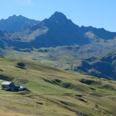
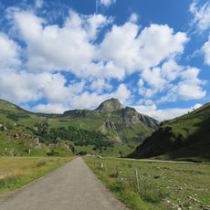
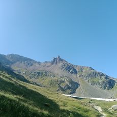
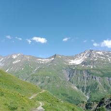
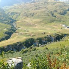
The hike starts from the Notre-Dame de la Gorge parking area and takes approximately four hours to reach the summit via marked trails. The path is well-marked throughout, though hikers should prepare for uneven terrain and changing mountain weather conditions.
In the wetlands around the hiking trails grows the round-leaved sundew, a carnivorous plant adapted to nutrient-poor conditions. This unusual plant indicates the distinctive ecological environment of this high alpine zone.
The community of curious travelers
AroundUs brings together thousands of curated places, local tips, and hidden gems, enriched daily by 60,000 contributors worldwide.