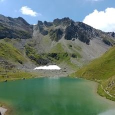
Pierra Menta, Mountain summit in Beaufortain massif, France.
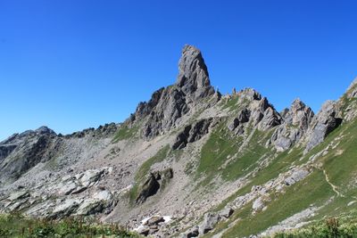
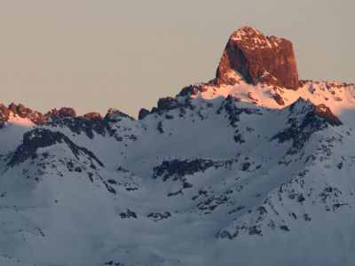
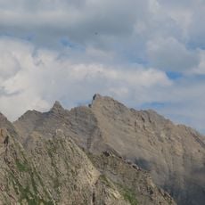
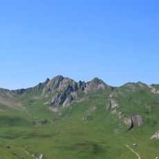
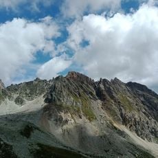
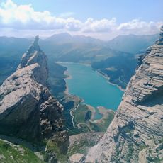
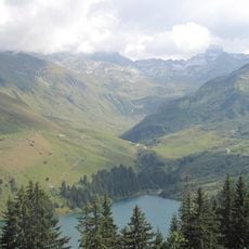
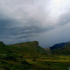
Pierra Menta is a 2,563 meter summit in the Beaufortain massif featuring steep limestone walls and multiple climbing routes that draw mountaineers from around the world. The mountain displays distinct rock sections with varying faces that offer different climbing challenges.
The mountain drew climbers beginning in the early 1900s, leading to the creation of many climbing routes and alpine activities in the area. This early development made it a center for mountaineering in the French Alps.
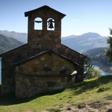
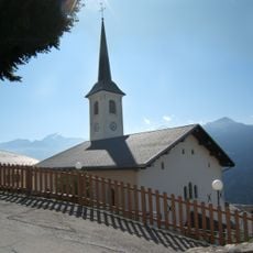
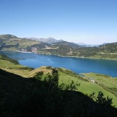
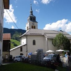
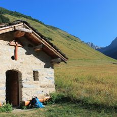
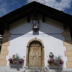
The villages nearby hold traditional Alpine customs and host regular celebrations that honor mountain life and the passion of climbers in this region. You can experience these traditions by visiting local festivities and walking through the settlements at the mountain's base.
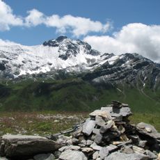
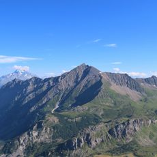
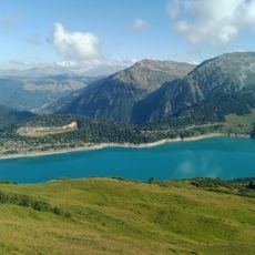
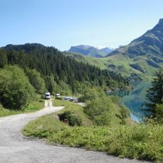
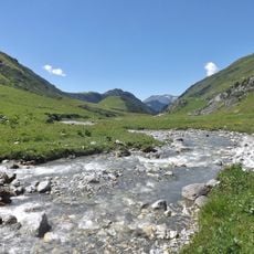
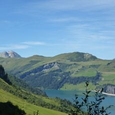
The summit is reachable through several marked trails, with the main path starting around 1,700 meters elevation and climbing roughly 850 meters of vertical gain. Visitors should prepare for alpine conditions since weather changes quickly, so sturdy shoes and plenty of water are essential.
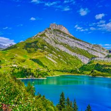
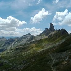
Four distinct rock pillars form the mountain's distinctive silhouette and create natural climbing obstacles that attract professionals throughout the year. This structure makes each ascent a unique experience with different technical approaches depending on which route you choose.
The community of curious travelers
AroundUs brings together thousands of curated places, local tips, and hidden gems, enriched daily by 60,000 contributors worldwide.