Enable Location

We need your location to show you interesting places around you

Discover nearby places

Find interesting locations and hidden gems around you

Precise directions

Get accurate directions and distances to places

Your location is never shared with other users. It's only used when you tap the location button.

Mont Clocher

Log in to your account

Start exploring — it's free

Trusted by 61,971 travelers worldwide

Continue with Google
Continue with Apple
or

We will send you a code to connect

By continuing, you accept our Terms and Conditions and our Privacy Policy

Check your inbox

We've sent a pincode in your inbox. Please enter the code below.

Mont Clocher

Mont Clocher, Mountain summit in Hauteluce, France

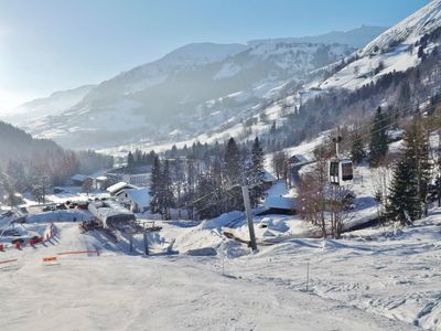
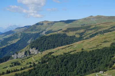
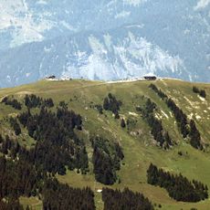
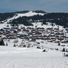
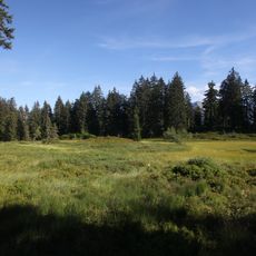
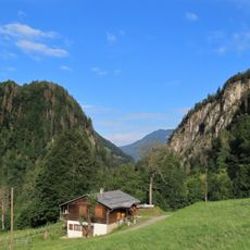
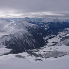
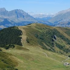
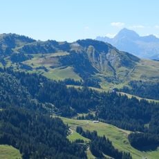
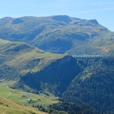
Mont Clocher is a mountain peak within the Beaufortain Massif reaching 1976 meters above sea level. The slopes are covered with grass while the eastern face transitions to rocky terrain.

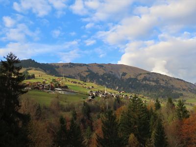
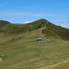
Mountain paths across the peak served as traditional shepherding routes since medieval times, with herds moving between valley pastures seasonally. These ancient routes still form the foundation of modern trails in the area.

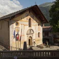
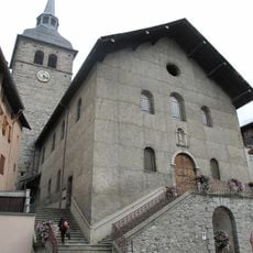
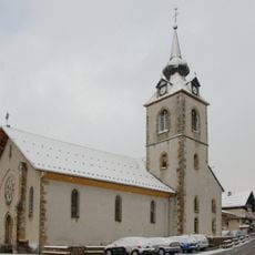
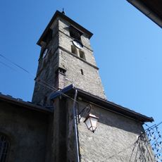
The name comes from the peak's resemblance to a church bell tower, a reference to the regional architecture found throughout Savoie. This shape-based naming reflects how locals see and describe their surrounding landscape.

Starting from Col de la Lézette makes the approach most straightforward and typically takes about four hours to reach the top. Beginning early in the day is wise since weather conditions in the mountains can shift rapidly.

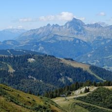
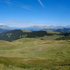
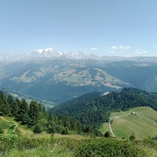
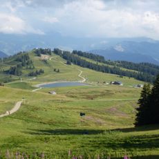
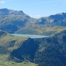
Different points along the route offer views of Mont Blanc, the Aravis range, and an artificial lake beside the Bellastat chairlift. These distant vistas reward hikers with changing perspectives across the broader mountain landscape.

The community of curious travelers

AroundUs brings together thousands of curated places, local tips, and hidden gems, enriched daily by 60,000 contributors worldwide.

Start exploring
Location
Elevation above the sea
1,976 m
GPS coordinates
45.77186,6.59128
Latest update
December 14, 2025 20:26
« Mont Clocher - Mountain summit in Hauteluce, France » is provided by Around Us (aroundus.com). Images and texts are derived from Wikimedia project under a Creative Commons license. You are allowed to copy, distribute, and modify copies of this page, under the conditions set by the license, as long as this note is clearly visible.

Discover hidden gems everywhere you go!

From secret cafés to breathtaking viewpoints, skip the crowded tourist spots and find places that match your style. Our app makes it easy with voice search, smart filtering, route optimization, and insider tips from travelers worldwide. Download now for the complete mobile experience.

Around Us App Screenshot

A unique approach to discovering new places

Le Figaro

All the places worth exploring

France Info

A tailor-made excursion in just a few clicks

20 Minutes

Around Us
Travel Guide & Maps
Download

Send to your phone

QR Code
1

Open the camera app on your mobile.

2

Point at the QR code with your camera. A notification will appear.

3

Tap the notification to open the link.