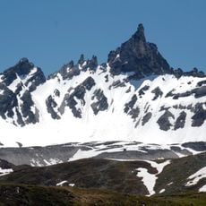
Granta Parey, Alpine summit in Rhêmes-Notre-Dame, Italy
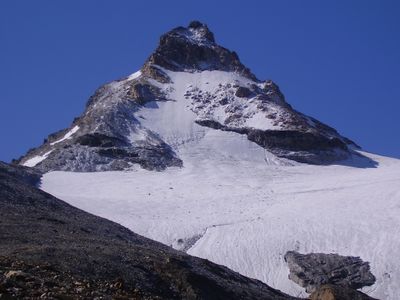
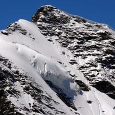
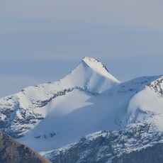
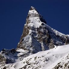
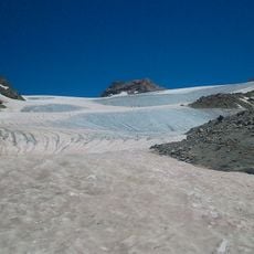
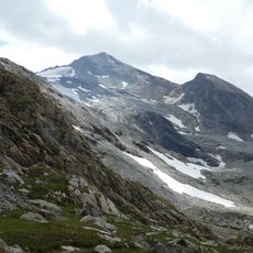
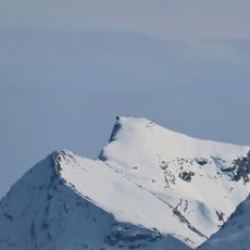
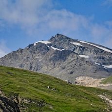
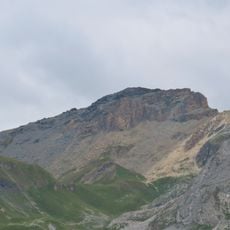
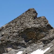
Granta Parey is an alpine summit located in the Val de Rhêmes region of northern Italy, recognizable from various points across the valley. Its distinctive pyramidal shape makes it stand out against the surrounding landscape and visible throughout the seasons.
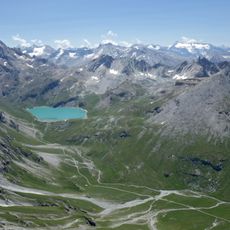
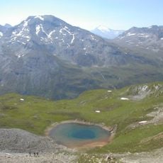
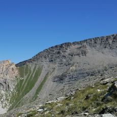
For centuries, shepherds and merchants crossing the Aosta Valley passes used this peak as a navigation landmark. Its stable presence made it an essential reference point along the traditional routes and migration paths through the region.
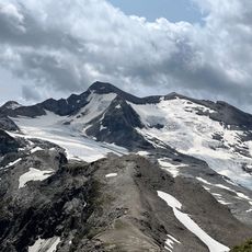
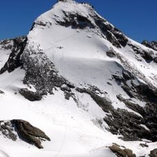
The peak serves as a landmark that locals and visitors recognize from various directions across the valley. Mountain guides continue to lead groups to its summit, keeping alive the climbing traditions of the Italian Alps.
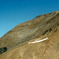
The climb is best done during warmer months when trails are free from snow and ice. Start early in the day and bring proper mountain boots and weather protection, as conditions at the summit can change quickly.
The pyramid-shaped silhouette is so distinctive that hikers across the region use it as a visual landmark for orientation. This recognizable profile has made it a natural navigation symbol in the alpine passes over many centuries.
The community of curious travelers
AroundUs brings together thousands of curated places, local tips, and hidden gems, enriched daily by 60,000 contributors worldwide.