Punta di Galisia, Alpine summit in Graian Alps, France and Italy
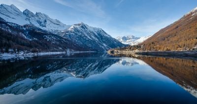
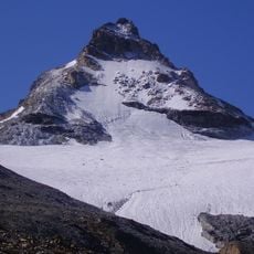
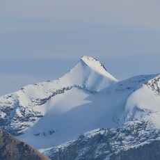
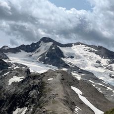
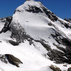
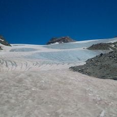
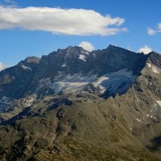
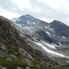
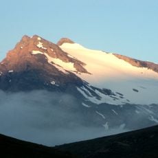
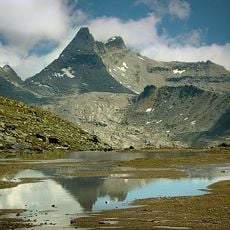
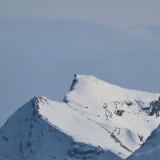
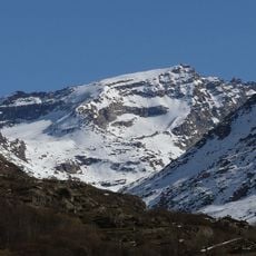
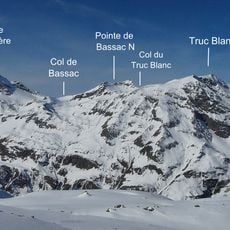
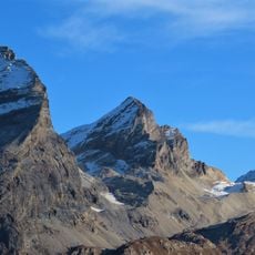
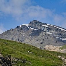
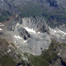
Pointe de la Galise is an Alpine summit in the Graian Alps along the border between France and Italy, reaching 3,343 meters in elevation. Glaciers cover both sides of the peak, shaping its appearance and characterizing the broader Alpine terrain of the region.
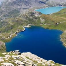
The peak emerged as a border marker between France and Italy during 19th-century political changes in the Alpine region. It connects the Vanoise National Park area on the French side with the Piedmont and Aosta Valley regions to the south.
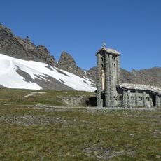
The mountain bridges traditions from both nations, with each side reflecting different approaches to mountaineering shaped by local Alpine communities. Shelters built on both flanks serve as meeting points where climbers from France and Italy share the same climbing routes.
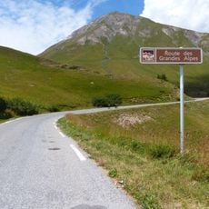
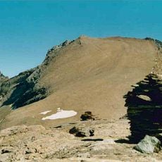
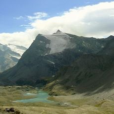
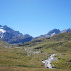
Climbers can reach the summit from two different starting points depending on which country they approach from: the French Refuge du Prariond sits at 2,324 meters (7,625 feet), while the Italian Refuge Benevolo stands at 2,287 meters (7,503 feet). Both routes demand experience with Alpine conditions and steady footing on steep terrain.
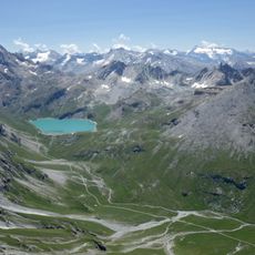
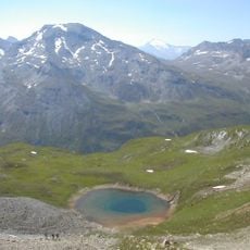
From the summit cairn on clear days, visitors can see across the landscape to several of the Alps' most important massifs including Mont Blanc, Monte Rosa, and Gran Paradiso. This distant view offers an unexpected perspective on the broader Alpine geography visible from this relatively remote location.
The community of curious travelers
AroundUs brings together thousands of curated places, local tips, and hidden gems, enriched daily by 60,000 contributors worldwide.