Aiguille Pers, Mountain summit in Savoie, France.
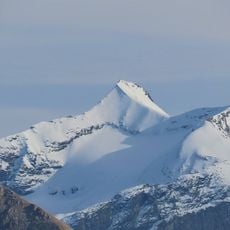
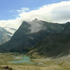
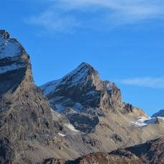
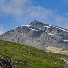
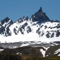
Aiguille Pers is a mountain summit in the Alps that rises prominently above the surrounding landscape with steep glacial faces and rocky ridges. The peak can be approached from several directions, each offering distinct views of the Val-d'Isère region.
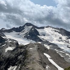
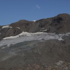
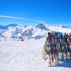
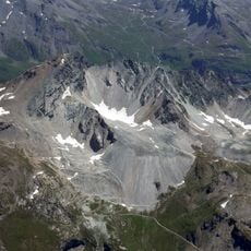
The sources record no climbing history for Aiguille Pers. Its documented past is cartographic and glacial: the summit stands where three ridges meet, and three small glaciers lie beneath it — Pers to the north above the Isère valley, Montet to the east above the Arc valley, and Grand Pisaillas to the west above the Iseran pass and the Lenta hollow, where summer skiing is practised at Val-d'Isère.
The summit is marked by a large cairn of stacked stones, a landmark climbers meet at after the ascent. The usual route leaves the Col de l'Iseran, reaches the Col Pers at 3,009 m, follows the broad west ridge past the Pointe Pers at 3,317 m, and ends at the cairn on top.
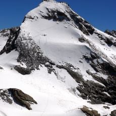
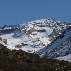
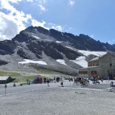
The usual route starts at the Col de l'Iseran (2,764 m) and reaches the Col Pers at 3,009 m before following the broad west ridge over the Pointe Pers (3,327 m) to the summit, marked by a large stone cairn. The final ridge is snow-covered, with dark rock exposed along the left side and on the right face.
The summit carries a large cairn of stacked stones, mentioned in Italian sources as marking the top. The normal route leaves the Col de l'Iseran, reaches the Col Pers at 3,009 m, follows the broad west ridge past the Pointe Pers at 3,327 m, and then gains the summit.
The community of curious travelers
AroundUs brings together thousands of curated places, local tips, and hidden gems, enriched daily by 94,233 contributors worldwide.