Viso, Mountain peak in Province of Cuneo, Italy.
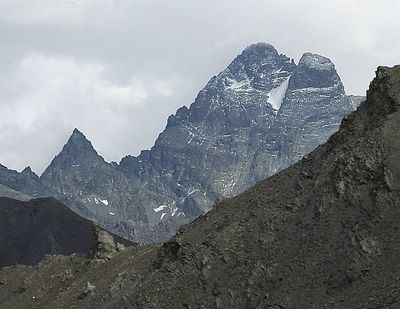
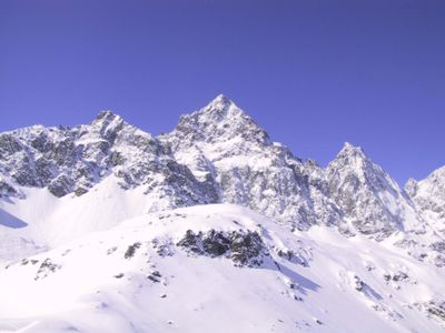
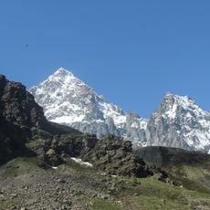
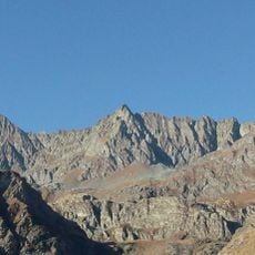
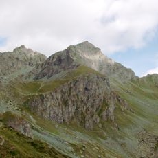
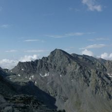
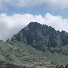
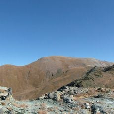
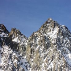
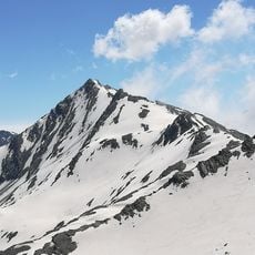
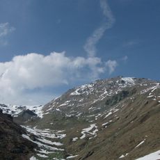
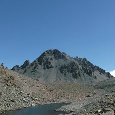
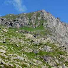
Monte Viso rises to 3841 meters (12600 feet) in elevation and forms a distinct pyramid shape visible from the Piedmontese plateau and Mont Blanc massif. The mountain consists of ophiolite rock and marks the border between the Maritime Alps and Cottian Alps.
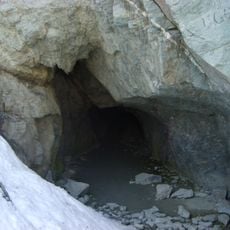
William Mathews and Frederic Jacomb reached the summit on August 30, 1861, with guide Michel Croz in the first recorded ascent. The Neolithic jadeite mine on the mountain operated around 5000 BC and supplied communities across Western Europe with material for ceremonial tools.
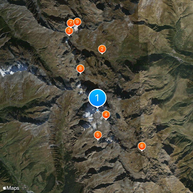
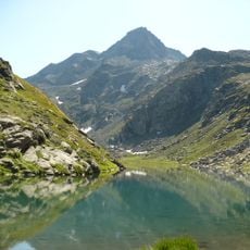
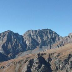
The peak appears on coats of arms and flags throughout the surrounding valleys and remains a symbol of regional identity. Hikers often visit the high plateau at its base, where the source of the Po serves as a geographic and symbolic center for Piedmontese life.
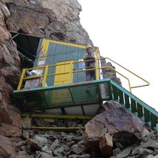
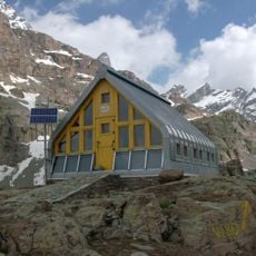
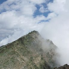
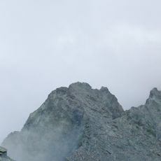
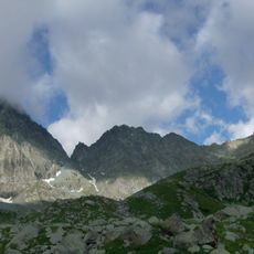
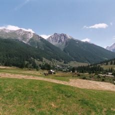
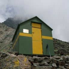
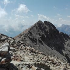
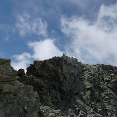
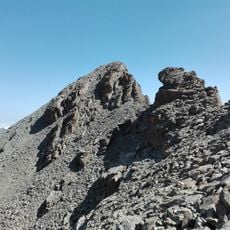
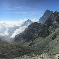
Climbers reach the summit through Valle Po or Valle Varaita, with Crissolo serving as the main starting point for expeditions. The ascent requires experience in high mountains and usually takes two days with an overnight stay at a refuge.
The source of the Po rises at Pian del Re at 2020 meters (6630 feet) elevation below the summit and marks the beginning of Italy's longest river. Jadeite axes from the Neolithic mine on the mountain have been found as far away as Britain and Scandinavia.
The community of curious travelers
AroundUs brings together thousands of curated places, local tips, and hidden gems, enriched daily by 60,000 contributors worldwide.