Aiguillette, Alpine peak in Hautes-Alpes, France and Piedmont, Italy.
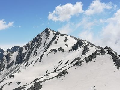
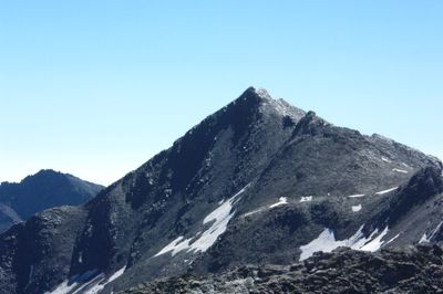
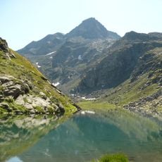
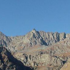
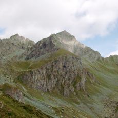
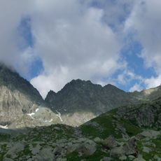
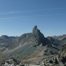
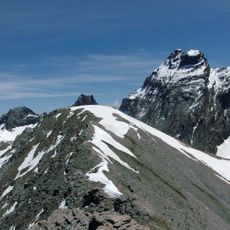
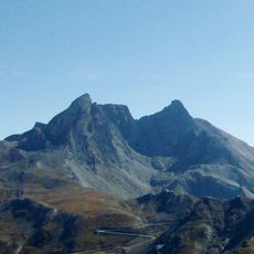
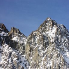
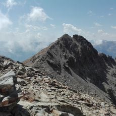
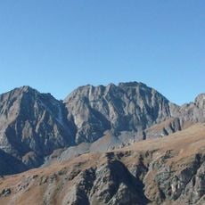
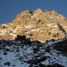
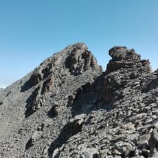
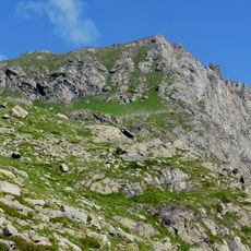
Aiguillette is an Alpine peak in the Cottian Alps standing at about 3,300 meters with steep slopes and distinctive rock faces. It rises above expansive meadowland and connects several established hiking routes across the region.
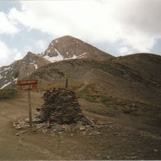
This mountain has marked the natural boundary between France and Italy for centuries and served as a key landmark for Alpine communities. Its role as a border reference continues to shape how the region is understood today.
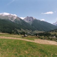
Local shepherds drive their flocks up to these alpine meadows during summer months as part of their traditional pastoral cycle. Both French and Italian communities have maintained this seasonal movement for generations.
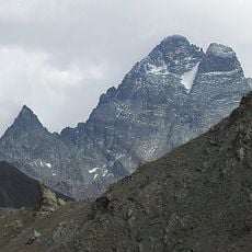
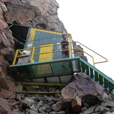
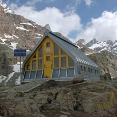
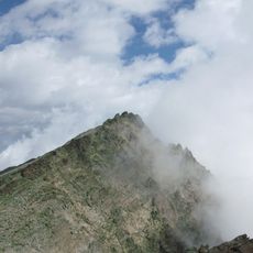
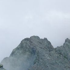
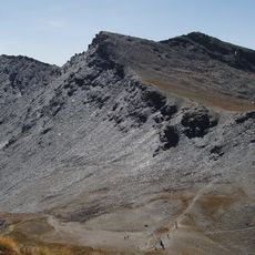
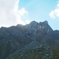
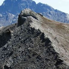
The climb requires full alpine equipment and strong physical fitness, so only experienced mountaineers should attempt the ascent. Multiple marked routes offer different approaches, but all demand careful planning and preparation.
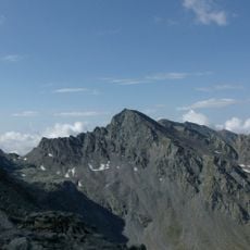
The summit has two different elevations depending on which side you measure from: the French side rises to about 3,300 meters while the Italian side is significantly lower. This difference reflects how border demarcation and mountain measurement can be interpreted differently by neighboring nations.
The community of curious travelers
AroundUs brings together thousands of curated places, local tips, and hidden gems, enriched daily by 60,000 contributors worldwide.