Enable Location

We need your location to show you interesting places around you

Discover nearby places

Find interesting locations and hidden gems around you

Precise directions

Get accurate directions and distances to places

Your location is never shared with other users. It's only used when you tap the location button.

Pian del Re

Log in to your account

Start exploring — it's free

Trusted by 61,956 travelers worldwide

Continue with Google
Continue with Apple
or

We will send you a code to connect

By continuing, you accept our Terms and Conditions and our Privacy Policy

Check your inbox

We've sent a pincode in your inbox. Please enter the code below.

Pian del Re

Pian del Re, Protected mountain area and river source in Crissolo, Italy

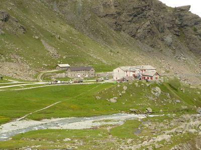
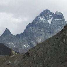
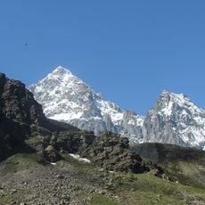
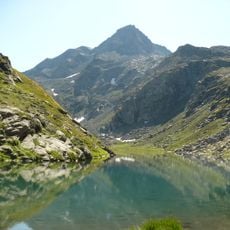
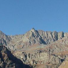
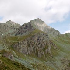
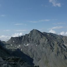
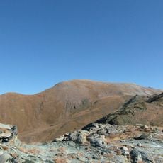
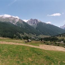
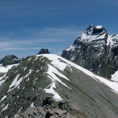
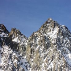
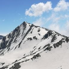
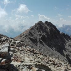
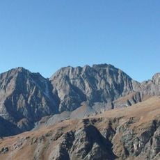
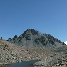
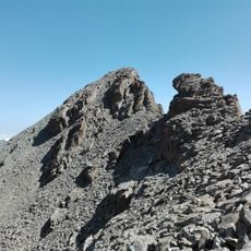
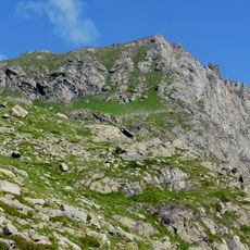
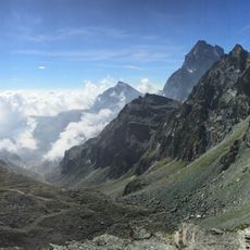
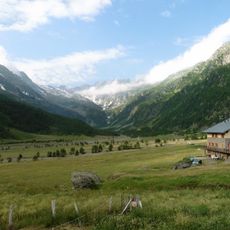
Pian del Re is a high plateau at 2,020 meters (about 6,600 feet) in the Cottian Alps, where Italy's longest river has its source. The terrain lies in a wide basin between steep mountain slopes and contains a peatbog fed by melting glaciers.

The upland was first named in the 16th century when French forces under Francis I moved through the region. The area remained a remote grazing ground for shepherds from the lower villages for centuries afterward.

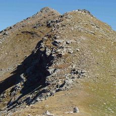
The name was chosen when French troops under Francis I crossed the area before attacking the Duchy of Savoy. Today walkers see the marker where Italy's longest river emerges from the ground, along with alpine meadows all around.

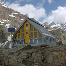
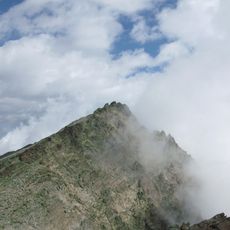
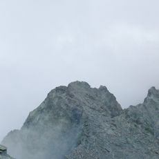
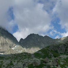
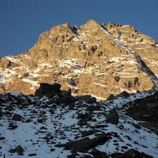
The mountain road is passable from June to October, but snow can occur even in summer, so visitors should bring warm clothing. The site lies far from the nearest settlement, and there are no supply facilities on the plateau itself.

The peatbog shelters rare plants like Juncus triglumis, a rush that grows only in a few high alpine locations. The damp environment also provides habitat for the Lanza's alpine salamander, a species that is endemic to this region.

The community of curious travelers

AroundUs brings together thousands of curated places, local tips, and hidden gems, enriched daily by 60,000 contributors worldwide.

Start exploring
Location
GPS coordinates
44.70130,7.09375
Latest update
December 5, 2025 22:28
« Pian del Re - Protected mountain area and river source in Crissolo, Italy » is provided by Around Us (aroundus.com). Images and texts are derived from Wikimedia project under a Creative Commons license. You are allowed to copy, distribute, and modify copies of this page, under the conditions set by the license, as long as this note is clearly visible.

Discover hidden gems everywhere you go!

From secret cafés to breathtaking viewpoints, skip the crowded tourist spots and find places that match your style. Our app makes it easy with voice search, smart filtering, route optimization, and insider tips from travelers worldwide. Download now for the complete mobile experience.

Around Us App Screenshot

A unique approach to discovering new places

Le Figaro

All the places worth exploring

France Info

A tailor-made excursion in just a few clicks

20 Minutes

Around Us
Travel Guide & Maps
Download

Send to your phone

QR Code
1

Open the camera app on your mobile.

2

Point at the QR code with your camera. A notification will appear.

3

Tap the notification to open the link.