Enable Location

We need your location to show you interesting places around you

Discover nearby places

Find interesting locations and hidden gems around you

Precise directions

Get accurate directions and distances to places

Your location is never shared with other users. It's only used when you tap the location button.

Roc della Niera

Log in to your account

Start exploring — it's free

Trusted by 61,956 travelers worldwide

Continue with Google
Continue with Apple
or

We will send you a code to connect

By continuing, you accept our Terms and Conditions and our Privacy Policy

Check your inbox

We've sent a pincode in your inbox. Please enter the code below.

Roc della Niera

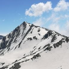
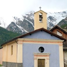
Roc della Niera, Mountain summit in Queyras massif, France and Italy.

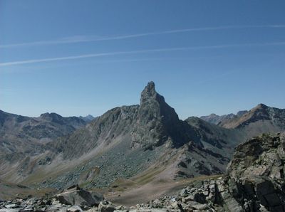
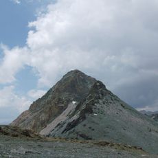
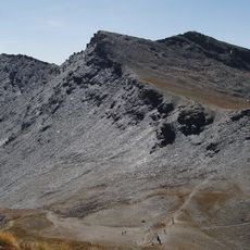
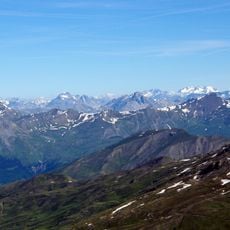
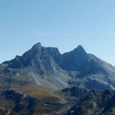
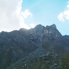
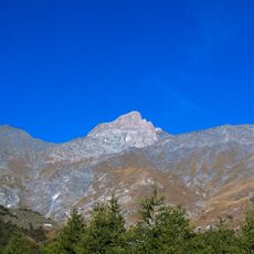
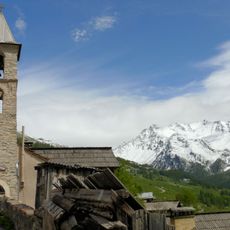
Roc della Niera is a mountain summit in the Queyras massif reaching 3177 meters on the France-Italy border. Its western face and southwest ridge offer several climbing routes of varying difficulty for experienced mountaineers.

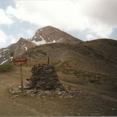
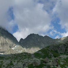
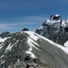
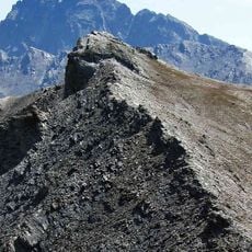
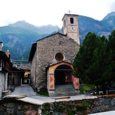
The mountain has long served as a boundary marker between the two countries, with border stones at Col Blanchet displaying French and Italian symbols. This division reflects historical territorial settlements in the Alps that remain visible today.

The summit sits on the France-Italy border, making it a place where two countries meet on the mountain. Visitors notice this division when they reach the top and see how the landscape tells a story of territorial separation.

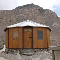
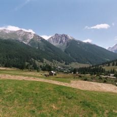
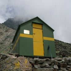
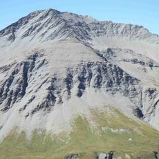
The climb approaches from the south via Col de la Noire, taking about two hours from Refuge de la Blanche at 2499 meters elevation. Mountaineers should bring proper alpine gear and experience, as conditions on the route can be demanding.

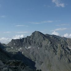
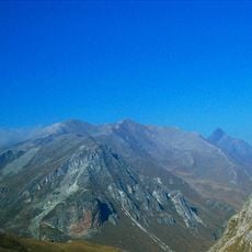
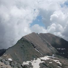
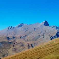
The Northeast Ridge stretches roughly 350 meters along a narrow rocky crest with technical climbing passages and views on both sides. This exposed route attracts mountaineers seeking challenging high-altitude experiences.

The community of curious travelers

AroundUs brings together thousands of curated places, local tips, and hidden gems, enriched daily by 60,000 contributors worldwide.

Start exploring
Elevation above the sea
3,177 m
GPS coordinates
44.65496,6.94846
Latest update
December 14, 2025 18:40
« Roc della Niera - Mountain summit in Queyras massif, France and Italy » is provided by Around Us (aroundus.com). Images and texts are derived from Wikimedia project under a Creative Commons license. You are allowed to copy, distribute, and modify copies of this page, under the conditions set by the license, as long as this note is clearly visible.

Discover hidden gems everywhere you go!

From secret cafés to breathtaking viewpoints, skip the crowded tourist spots and find places that match your style. Our app makes it easy with voice search, smart filtering, route optimization, and insider tips from travelers worldwide. Download now for the complete mobile experience.

Around Us App Screenshot

A unique approach to discovering new places

Le Figaro

All the places worth exploring

France Info

A tailor-made excursion in just a few clicks

20 Minutes

Around Us
Travel Guide & Maps
Download

Send to your phone

QR Code
1

Open the camera app on your mobile.

2

Point at the QR code with your camera. A notification will appear.

3

Tap the notification to open the link.