Enable Location

We need your location to show you interesting places around you

Discover nearby places

Find interesting locations and hidden gems around you

Precise directions

Get accurate directions and distances to places

Your location is never shared with other users. It's only used when you tap the location button.

Tête de l'Autaret

Log in to your account

Join the adventure

Create your free account and start exploring (like 60k+ others)

We will send you a code to connect

or
Continue with Google
Continue with Apple
By continuing, you accept our Terms and Conditions and our Privacy Policy

Check your inbox

We've sent a pincode in your inbox. Please enter the code below.

Tête de l'Autaret

Tête de l'Autaret, Alpine summit on France-Italy border, Cottian Alps.

Description

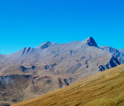
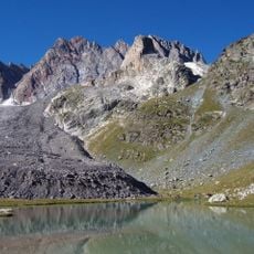
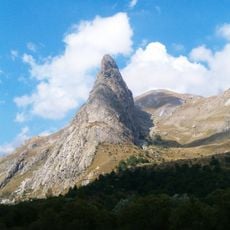
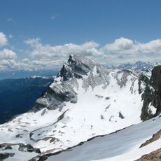
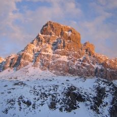
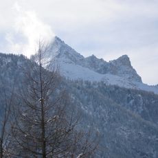
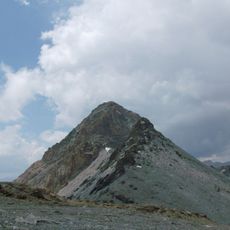
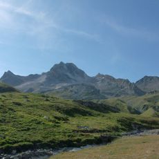
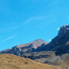
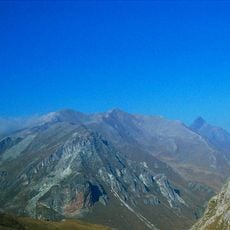
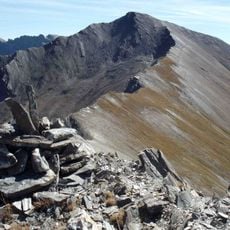
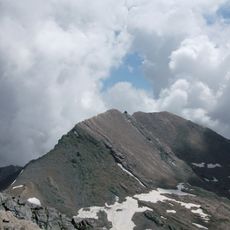
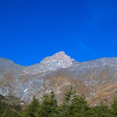
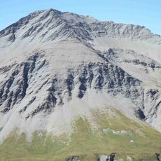
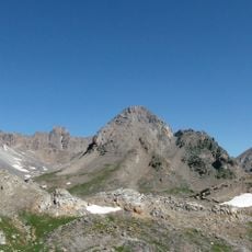
Tête de l'Autaret rises to 3,015 meters with three symmetrical ridges composed of greenschist rock from the ophiolitic complex. The summit sits along the France-Italy border in the Cottian Alps.

History

The name 'Autaret' comes from ancient places where pre-Christian populations held ritual activities in the western Alpine regions. These early connections continue to shape how the peak is understood today.

Culture

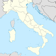
The summit sits on territory shared between the French municipality of Saint-Paul-sur-Ubaye and the Italian municipality of Bellino, reflecting how mountain communities on either side relate to this border landscape. Local residents in the valleys below have maintained their connection to this peak as a natural landmark for centuries.

Practical

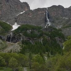
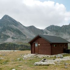
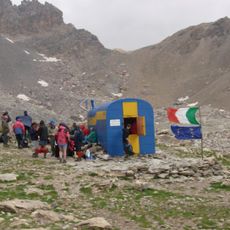
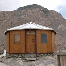
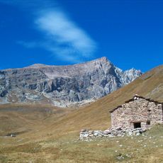
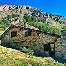
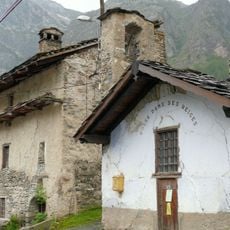
The main climbing route begins at Sant'Anna di Bellino and follows a path through the Gole delle Barricate gorge, passing an abandoned military shelter. Proper footwear and preparation are important as the route crosses mountainous terrain with varying steepness.

Did you know?

The eastern slope facing Bellino Valley features steep rock formations that contrast sharply with the gentler, grass-covered sides of the rest of the mountain. These differences make the ascent experience vary depending on which route you take.

Location
Elevation above the sea
3,015 m
Part of
France–Italy border
GPS coordinates
44.57309,6.93286
Latest update
December 14, 2025 20:26

AroundUs brings together thousands of curated places, local tips, and hidden gems, enriched daily by 60,000 contributors worldwide. Discover all places nearby (Piedmont).

« Tête de l'Autaret - Alpine summit on France-Italy border, Cottian Alps » is provided by Around Us (aroundus.com). Images and texts are derived from Wikimedia project under a Creative Commons license. You are allowed to copy, distribute, and modify copies of this page, under the conditions set by the license, as long as this note is clearly visible.

Discover hidden gems everywhere you go!

From secret cafés to breathtaking viewpoints, skip the crowded tourist spots and find places that match your style. Our app makes it easy with voice search, smart filtering, route optimization, and insider tips from travelers worldwide. Download now for the complete mobile experience.

Around Us App Screenshot

A unique approach to discovering new places

Le Figaro

All the places worth exploring

France Info

A tailor-made excursion in just a few clicks

20 Minutes

Around Us
Travel Guide & Maps
Download

Send to your phone

QR Code
1

Open the camera app on your mobile.

2

Point at the QR code with your camera. A notification will appear.

3

Tap the notification to open the link.