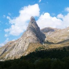
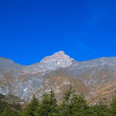
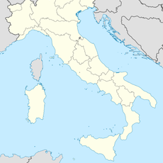
Tête de la Frema, Alpine summit in Provence-Alpes-Côte d'Azur, France.
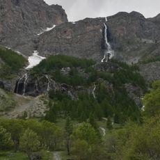
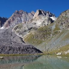
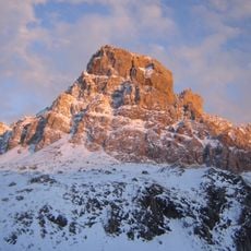
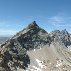
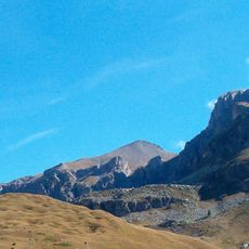
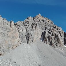
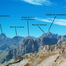
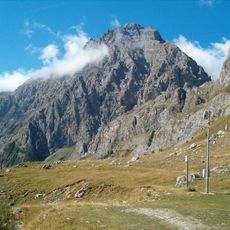
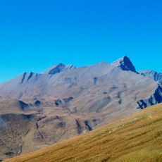
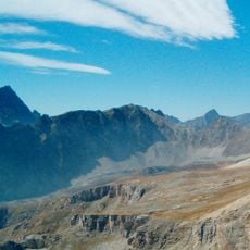
Tête de la Frema is a high Alpine summit standing between French and Italian valleys within the Chambeyron Mountains. The peak anchors this section of the range with steep slopes and rock formations typical of this part of the Alps.
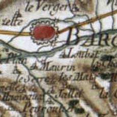
Early mountaineers reached this summit during the 19th century when systematic Alpine surveying became common. This period transformed how people understood and documented the high mountain regions along the French-Italian border.
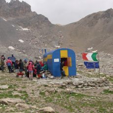
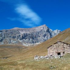
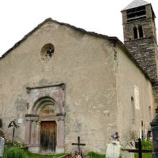
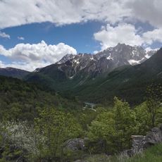
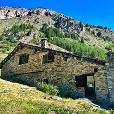
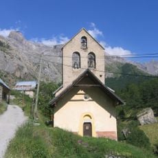
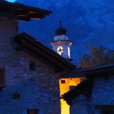
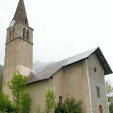
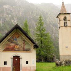
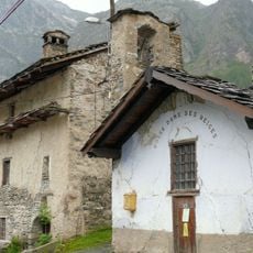
The location embodies the borderland character between two mountain cultures, with hikers encountering traditional Alpine architecture in the valleys below. Local mountain shelters reflect distinct regional building styles that visitors notice when moving between the French and Italian sides.
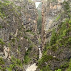
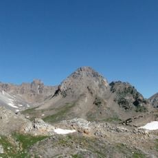
The climb demands solid mountain experience and comfort on exposed terrain. Starting early and watching weather conditions closely matters here, as conditions change quickly and descent during storms can become hazardous.
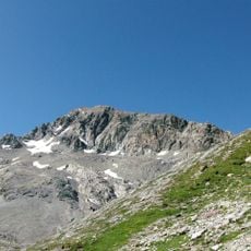
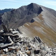
On clear days, hikers see several other mountain massifs and can trace the actual border line from the summit itself. This vantage point offers a rare chance to see how geography shaped this political boundary across the Alps.
The community of curious travelers
AroundUs brings together thousands of curated places, local tips, and hidden gems, enriched daily by 60,000 contributors worldwide.